MyTopo
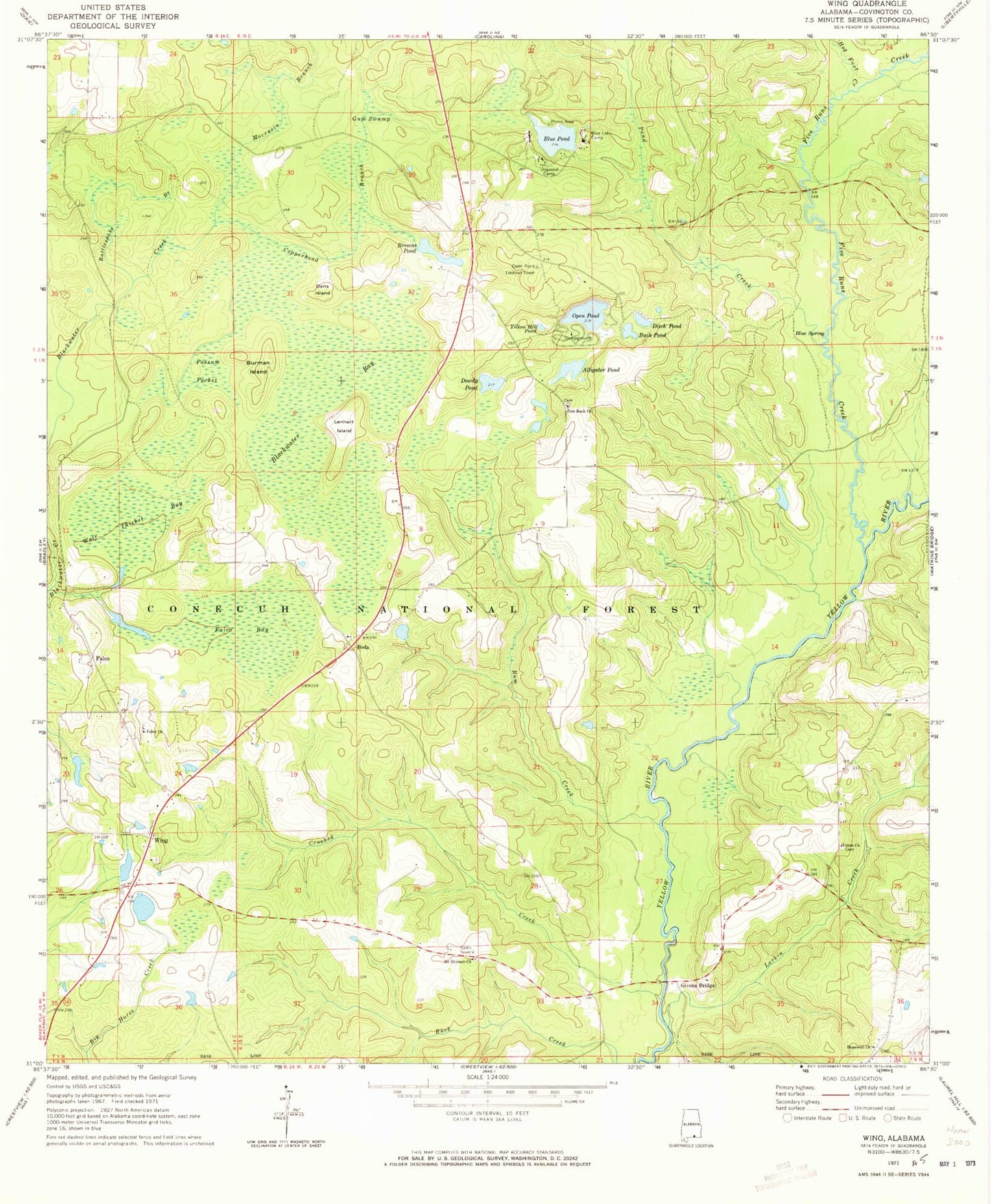
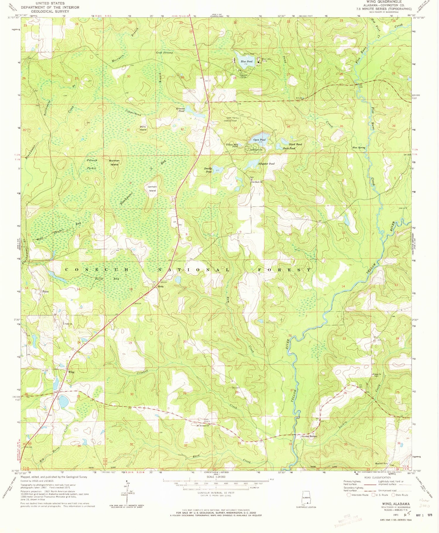
Classic USGS Wing Alabama 7.5'x7.5' Topo Map
Couldn't load pickup availability
Historical USGS topographic quad map of Wing in the state of Alabama. Map scale may vary for some years, but is generally around 1:24,000. Print size is approximately 24" x 27"
This quadrangle is in the following counties: Covington.
The map contains contour lines, roads, rivers, towns, and lakes. Printed on high-quality waterproof paper with UV fade-resistant inks, and shipped rolled.
Contains the following named places: Alligator Pond, Beda, Beda Cemetery, Beda Church, Blackwater Bay, Blue Lake, Blue Lake Assembly Church, Blue Lake Camp, Blue Pond Picnic Area, Blue Pond Recreation Area, Blue Spring, Browns Pond, Buck Pond, Burman Island, Civilian Conservation Corps Camp Number F9, Copperhead Branch, Crooked Creek, Dans Island, Ditch Pond, Dogwood Camp, Dowdy Pond, Falco, Falco Bay, Falco Church, Falco Division, Five Runs Creek, Givens Bridge, Gum Swamp, Harts Mill, Hendley Lake, Hog Foot Creek, Hopewell Church, J B Hendley Lake Dam, Lake Shore Trail, Lambuth Memorial Church, Larkin Creek, Lenhart Island, Moccasin Branch, Mount Hermon Church, Open Pond, Open Pond Lookout Tower, Open Pond Recreation Area, Pond Creek, Possum Pocket, Rattlesnake Branch, Run Creek, Union Church, Wing, Wing Missionary Church, Wing Post Office, Wing Volunteer Fire Department, Wolf Thicket Bay, Yellow Hill Pond, Zion Rock Church


