MyTopo
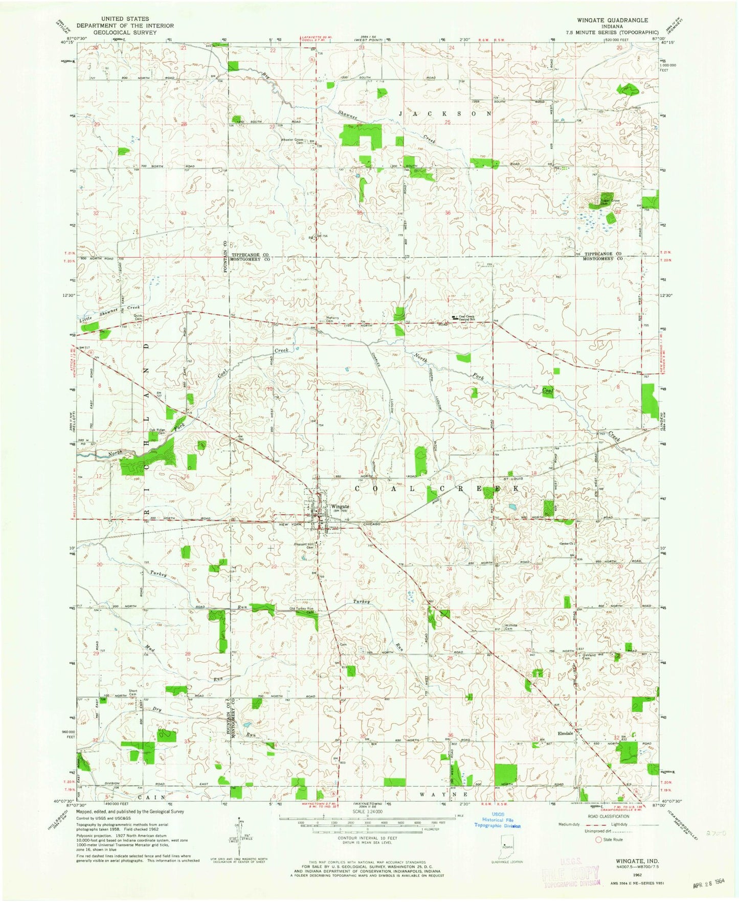
Classic USGS Wingate Indiana 7.5'x7.5' Topo Map
Couldn't load pickup availability
Historical USGS topographic quad map of Wingate in the state of Indiana. Map scale may vary for some years, but is generally around 1:24,000. Print size is approximately 24" x 27"
This quadrangle is in the following counties: Fountain, Montgomery, Tippecanoe.
The map contains contour lines, roads, rivers, towns, and lakes. Printed on high-quality waterproof paper with UV fade-resistant inks, and shipped rolled.
Contains the following named places: Babcocks Airport, Center Church, Charles Ludlow Ditch, Coal Creek Central School, Coal Creek Township Volunteer Fire Department, Dry Run Cemetery, Elmdale, Joseph Ludlow Ditch, Meharry AG Service Airport, Meharry Cemetery, Oak Ridge Cemetery, Oakland Cemetery, Old Turkey Run Cemetery, Pleasant Hill Cemetery, Quirk Cemetery, Sugar Grove Cemetery, Town of Wingate, Townsend Airport, Township of Coal Creek, Wheeler Grove Cemetery, Willhite Cemetery, Wingate, Wingate Post Office, Wolf Creek, ZIP Codes: 47967, 47994