MyTopo
Classic USGS Wingate North Carolina 7.5'x7.5' Topo Map
Couldn't load pickup availability
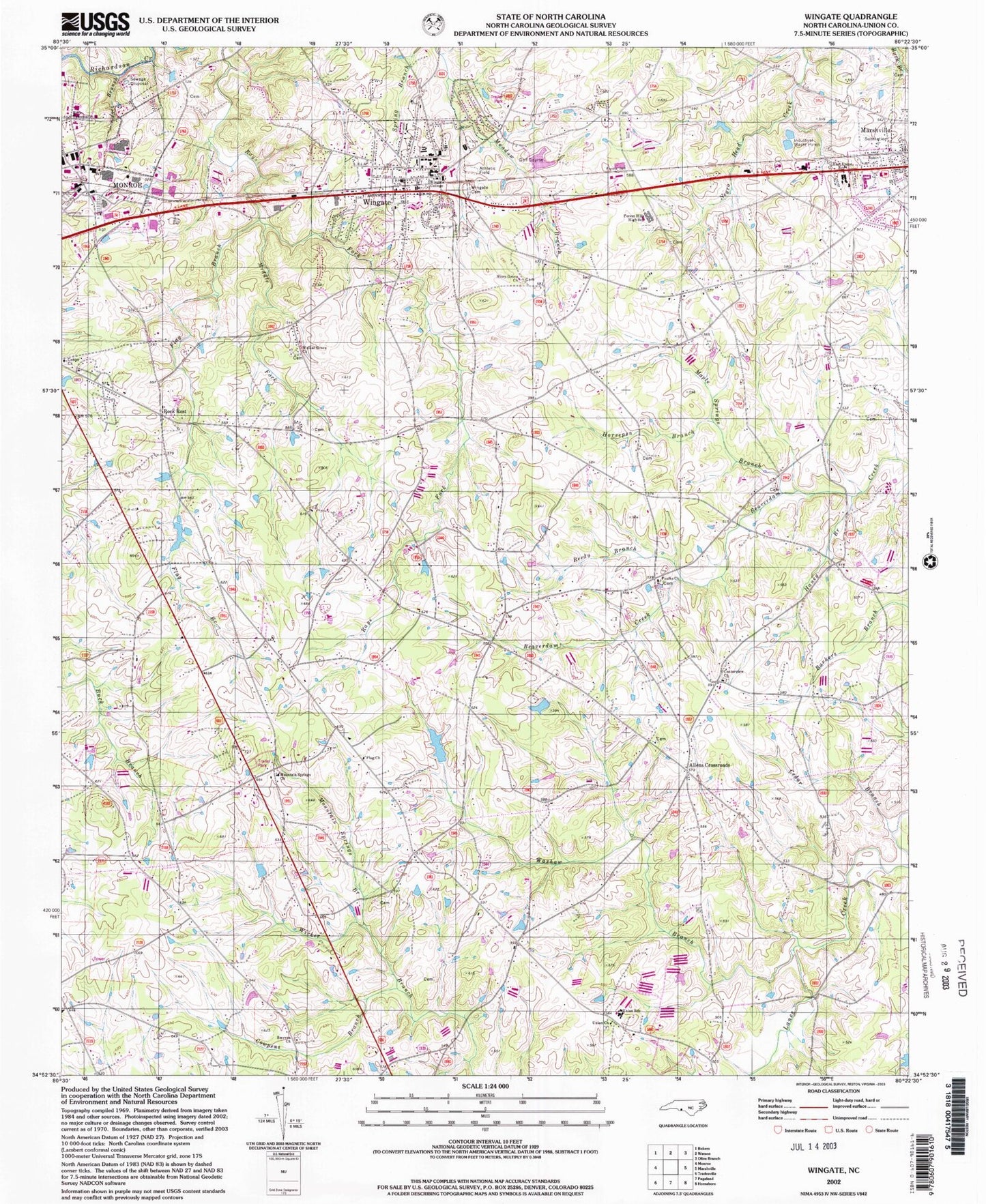
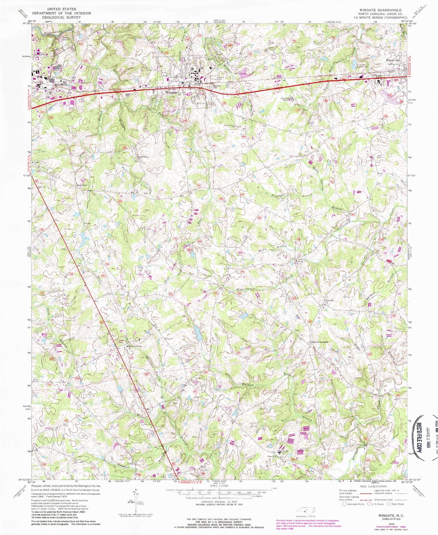
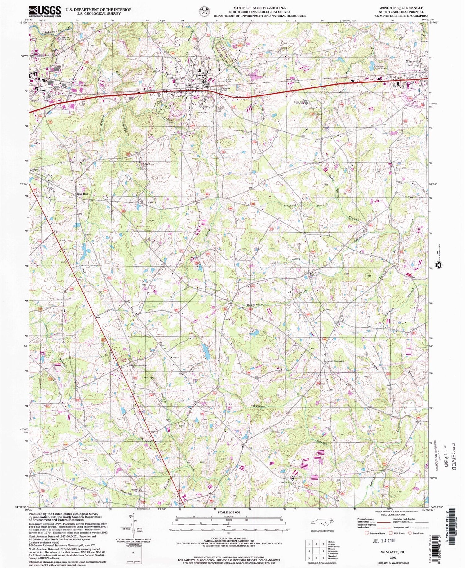
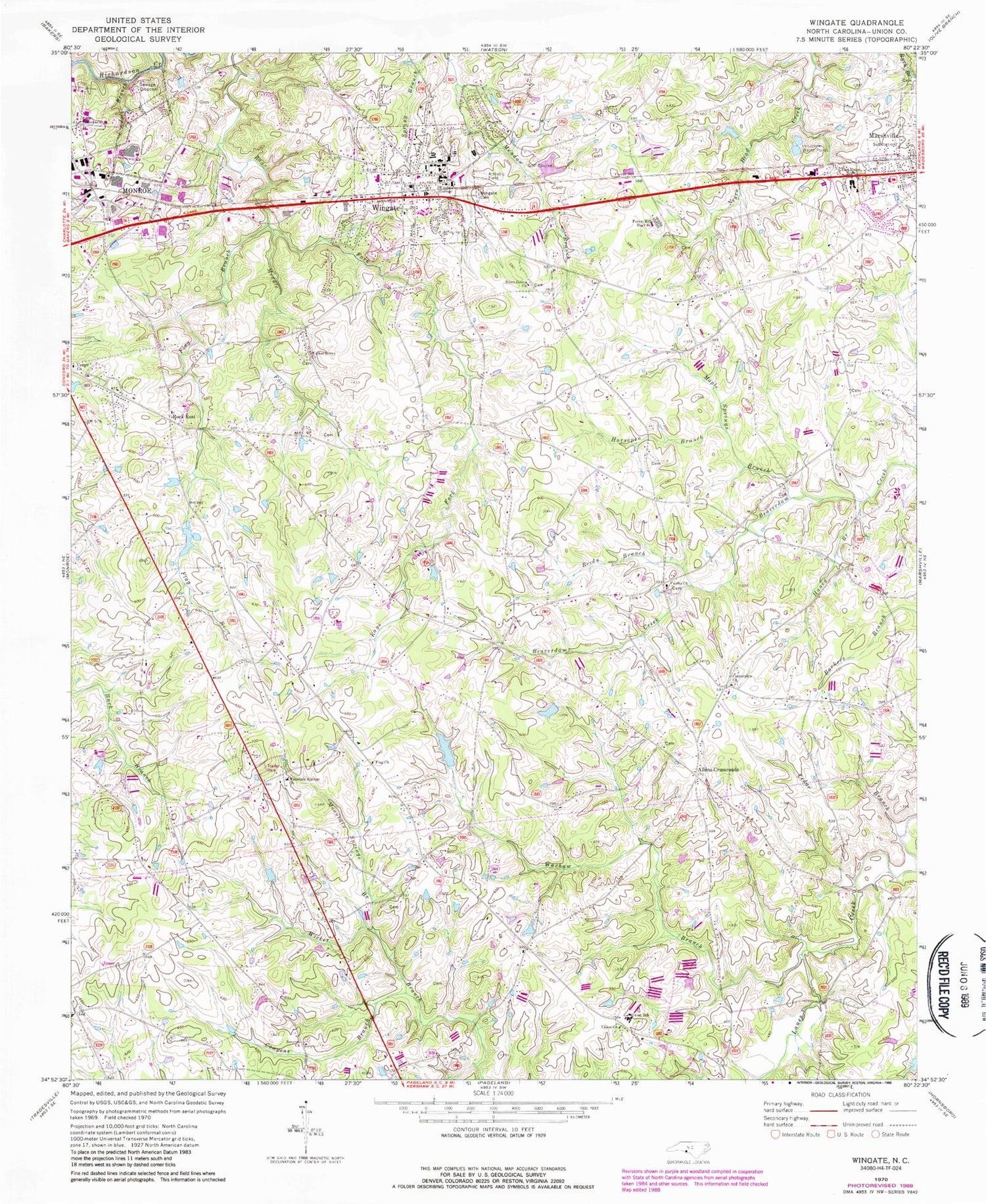
Historical USGS topographic quad map of Wingate in the state of North Carolina. Map scale may vary for some years, but is generally around 1:24,000. Print size is approximately 24" x 27"
This quadrangle is in the following counties: Union.
The map contains contour lines, roads, rivers, towns, and lakes. Printed on high-quality waterproof paper with UV fade-resistant inks, and shipped rolled.
Contains the following named places: Allens Crossroads, Allens Crossroads Volunteer Fire Department Station 24, Austin Auditorium, Belk Hall, Bennett - Bivens Cemetery, Bennett Hall, Bible Baptist Tabernacle Cemetery, Bible Tabernacle, Braswell Lake, Braswell Lake Dam, Bridges Hall, Budd E Smith Science Center, Burnside-Dalton Fine Arts Building, Burris Hall, Cedar Branch, Centerview Church, Centerview Church Cemetery, Charles A Cannon Recreational Complex, Cowpens Branch, Dickson-Palmer Center, East Union Middle School, Ethel K Smith Library, Faulks Church, Faulks Church Cemetery, Flag Branch, Flag Church, Forest Hills High School, Griffin Cemetery, Haney Branch, Helms Hall, Hendricks Hall, Holbert Hall, Holbrook Administration Building, Horsepen Branch, J Herbert Bridges Hall, Joes Branch, Laney Hall, Maple Springs Branch, McIntyre Gymnasium, Meadowbranch - Wingate Baptist Church Cemetery, Middle Fork Rays Fork, Mountain Springs Branch, Mountain Springs Church, Nicey Grove Church, Nicey Grove Church Cemetery, Reedy Branch, Rock Rest, Rushing Hall, Ruth Coltrane Cannon Dormitory, Sanders-Sikes Gymnasium, Smyrna Church, Smyrna Church Cemetery, Town of Wingate, Tucker Hall, Union Baptist Church Cemetery, Union Church, Union County Sheriff's Office, Union School, W T Hams Dining Hall, Walker Grove Church, Walker Grove Church Cemetery, Waxhaw Branch, Wingate, Wingate Baptist Church, Wingate Cemetery, Wingate College, Wingate College Alumni Hall, Wingate Police Department, Wingate Post Office, Wingate Volunteer Fire Department Station 9, ZIP Code: 28174


