MyTopo
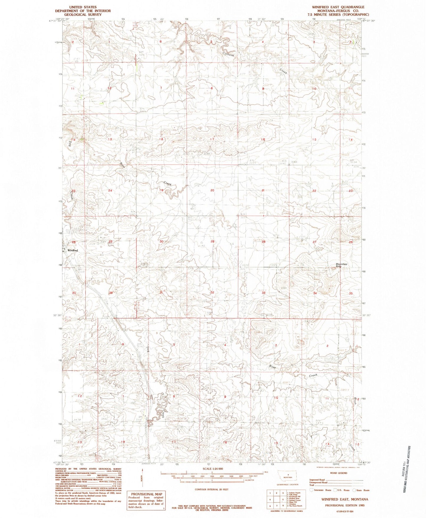
Classic USGS Winifred East Montana 7.5'x7.5' Topo Map
Regular price
$16.95
Regular price
Sale price
$16.95
Unit price
per
Couldn't load pickup availability
Historical USGS topographic quad map of Winifred East in the state of Montana. Map scale may vary for some years, but is generally around 1:24,000. Print size is approximately 24" x 27"
This quadrangle is in the following counties: Fergus.
The map contains contour lines, roads, rivers, towns, and lakes. Printed on high-quality waterproof paper with UV fade-resistant inks, and shipped rolled.
Contains the following named places: 21N18E25BACD01 Well, Albert Number 2 Dam, Albery Number 1 Dam, Bloomfield Butte, Brunton Dam, Brush Creek, Hoover School, Jo Dam, Robert Bold Number 3 Dam, Rose Creek, Rose Creek School, Sherrard School, Wilson School, Winifred, Winifred Cemetery