MyTopo
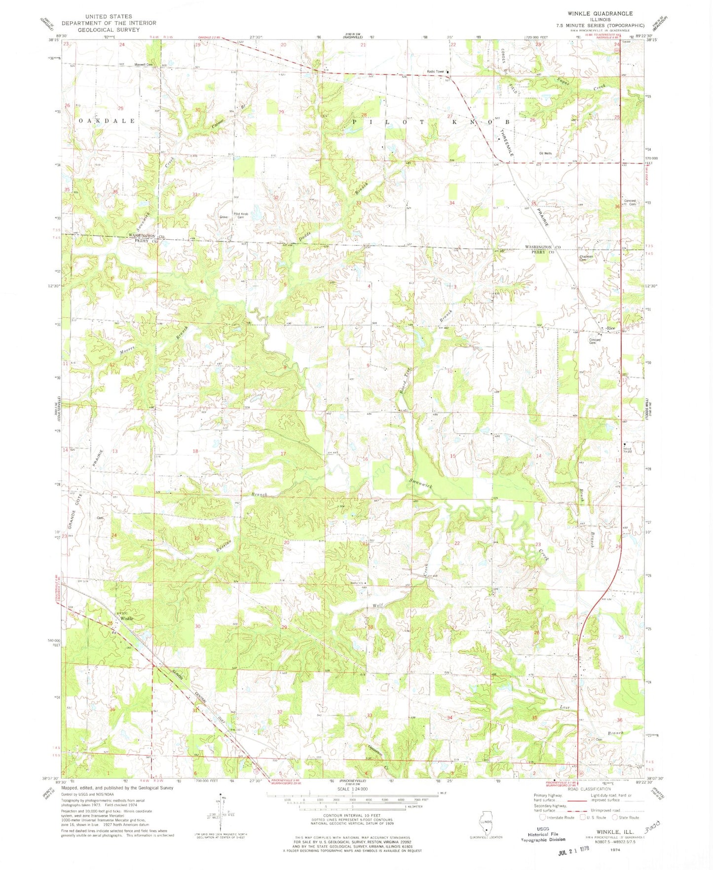
Classic USGS Winkle Illinois 7.5'x7.5' Topo Map
Couldn't load pickup availability
Historical USGS topographic quad map of Winkle in the state of Illinois. Map scale may vary for some years, but is generally around 1:24,000. Print size is approximately 24" x 27"
This quadrangle is in the following counties: Perry, Washington.
The map contains contour lines, roads, rivers, towns, and lakes. Printed on high-quality waterproof paper with UV fade-resistant inks, and shipped rolled.
Contains the following named places: Bethel Church, Board Tree Branch, Brush Branch, Carson Branch, Chapman Cemetery, Concord Cemetery, Dodds Branch, Duncan School, Eichholz School, Kellerman School, Luney School, Maxwell Cemetery, Moores Branch, Old Concord Cemetery, Pilot Knob Cemetery, Pinckneyville Number 8 Election Precinct, Pleasant Grove School, Rice, Russian Branch, School Number 212, Schumaier RLA Airport, Slade School, Spring Hill Cemetery, Threemile Prairie, Winkle, Wolf Creek, Wylie School