MyTopo
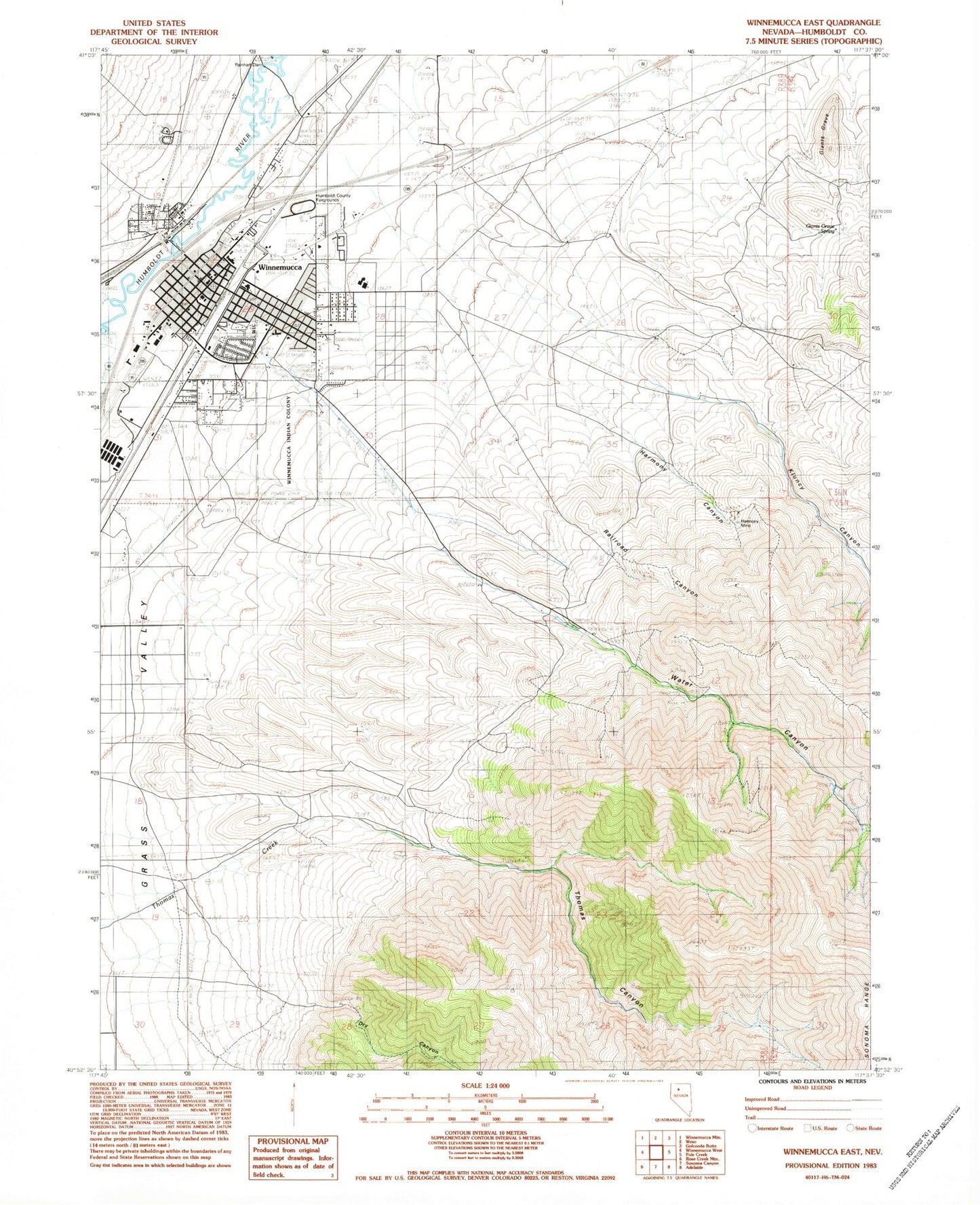
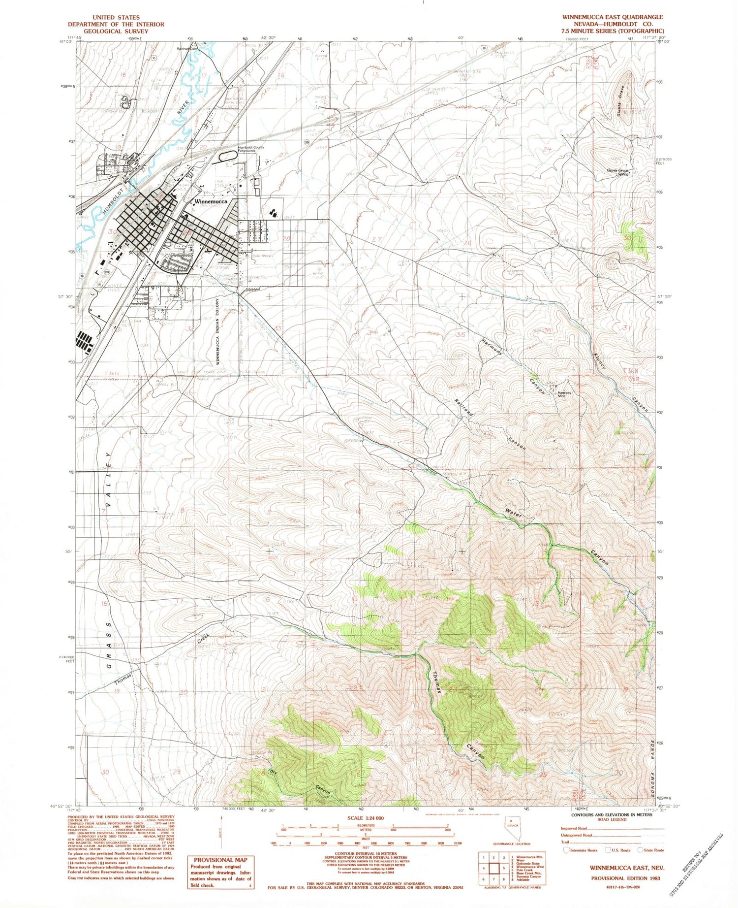
Classic USGS Winnemucca East Nevada 7.5'x7.5' Topo Map
Couldn't load pickup availability
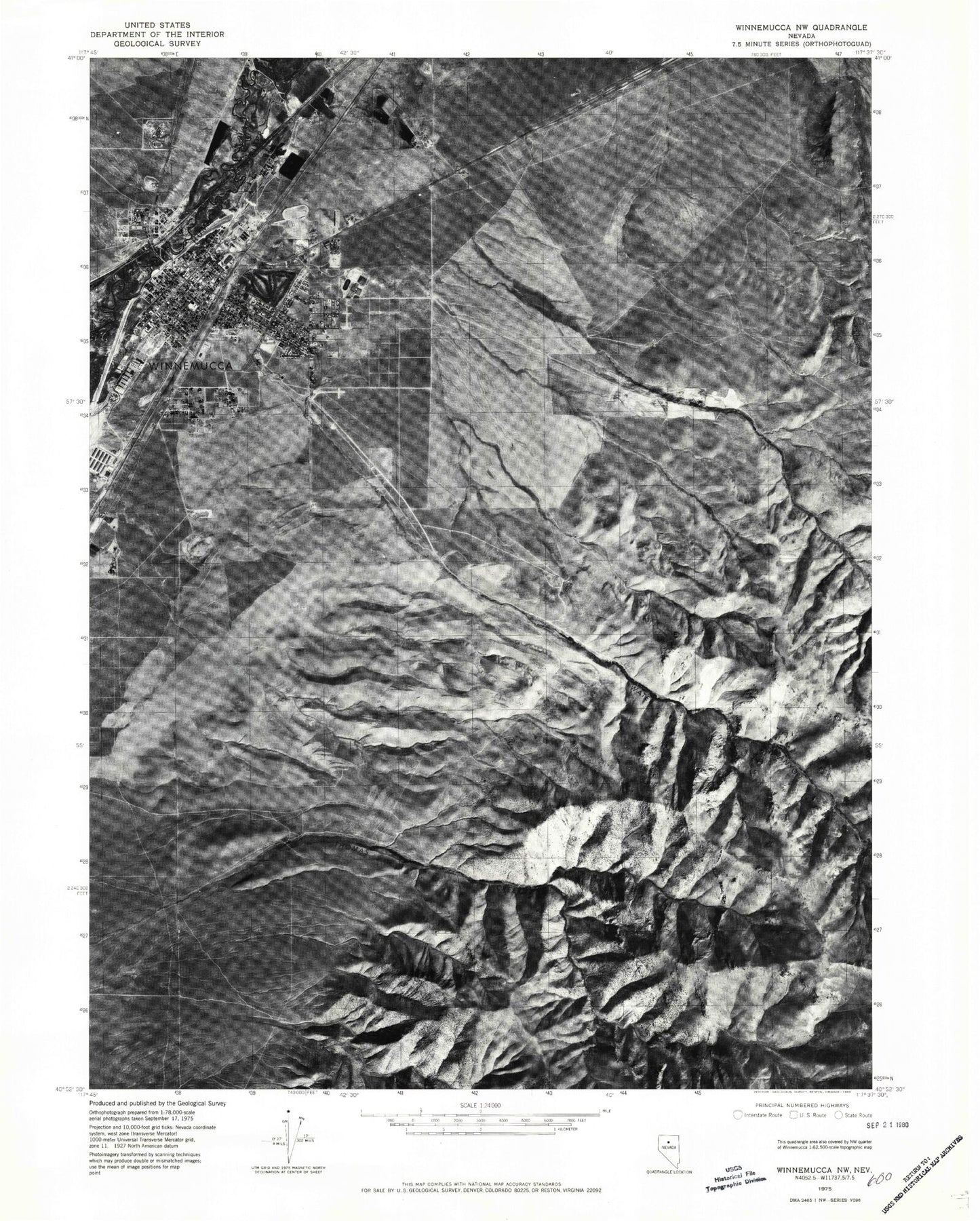
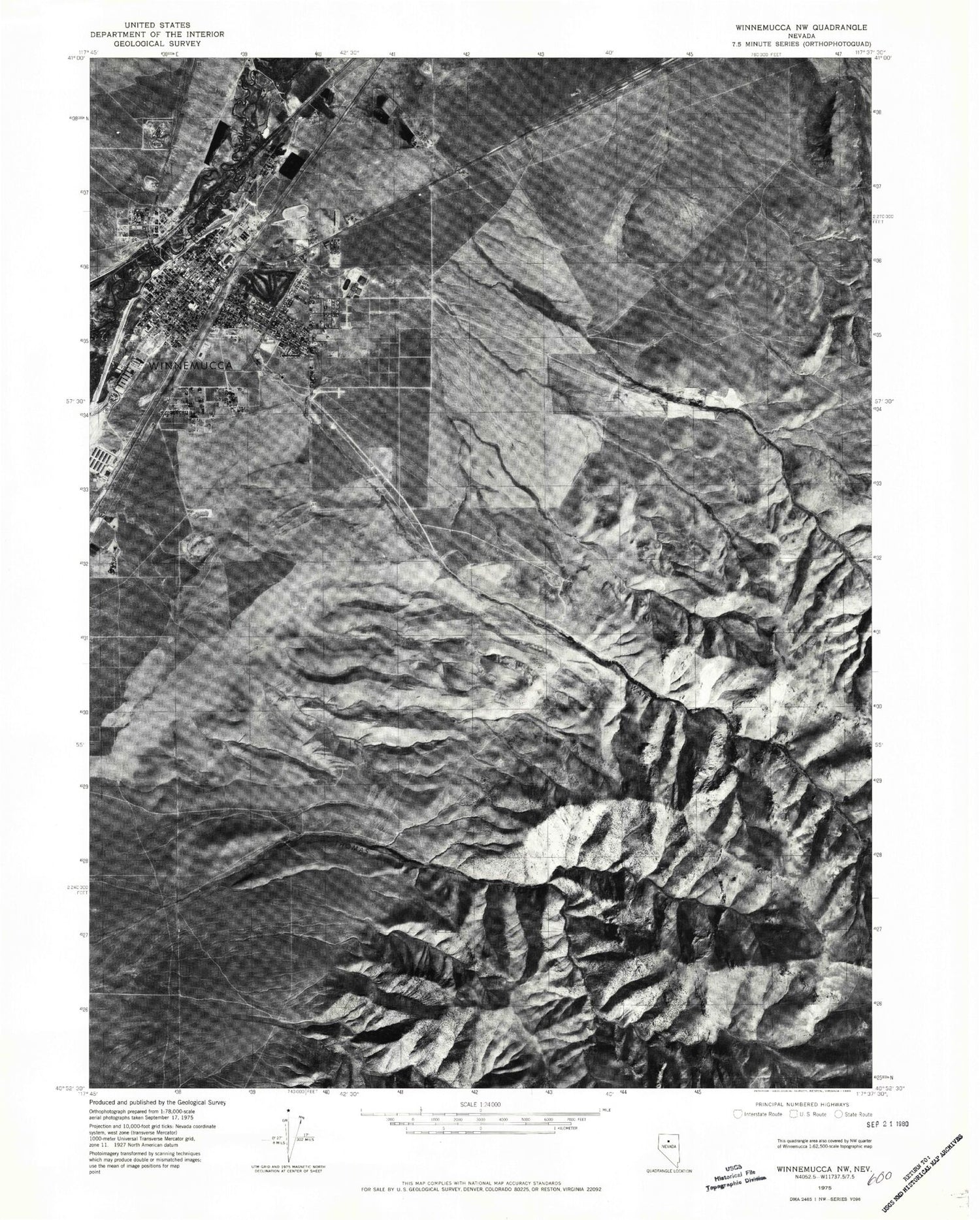
Historical USGS topographic quad map of Winnemucca East in the state of Nevada. Map scale may vary for some years, but is generally around 1:24,000. Print size is approximately 24" x 27"
This quadrangle is in the following counties: Humboldt.
The map contains contour lines, roads, rivers, towns, and lakes. Printed on high-quality waterproof paper with UV fade-resistant inks, and shipped rolled.
Contains the following named places: Albert M Lowry High School, Centerville, City of Winnemucca, Dry Canyon, French Ford Middle School, Giants Grave, Giants Grave Spring, Great Basin College Winnemucca Branch Campus, Harmony Canyon, Harmony Creek, Harmony Manor Skilled Nursing Facility, Harmony Mine, Harmony Mining District, Humboldt County Court House, Humboldt County Fairgrounds, Humboldt General Hospital, Kluncy Canyon, KWNA Radio Tower, KWNA-AM (Winnemucca), Leighton Hall, Nevada Highway Patrol Northern Command, Nixon Park, North Fork Thomas Creek, Pioneer Park, Railroad Canyon, Raleys Plaza, Reinhart Dam, Saint Pauls Roman Catholic Church, Sonoma Heights Elementary School, South Fork Thomas Creek, Thomas Canyon, Valley View Shopping Center, Water Canyon, Whites Creek, Winnemucca, Winnemucca Cemetery, Winnemucca City Hall, Winnemucca City Park and Golf Course, Winnemucca Elementary School, Winnemucca Indian Colony, Winnemucca Junior High School, Winnemucca Police Department, Winnemucca Post Office, Winnemucca Rodeo Grounds, Winnemucca Rural Fire Department, Winnemucca Seventh Day Adventist School, Winnemucca Volunteer Fire Department


