MyTopo
Classic USGS Winnemucca Mountain Nevada 7.5'x7.5' Topo Map
Regular price
$16.95
Regular price
Sale price
$16.95
Unit price
per
Couldn't load pickup availability
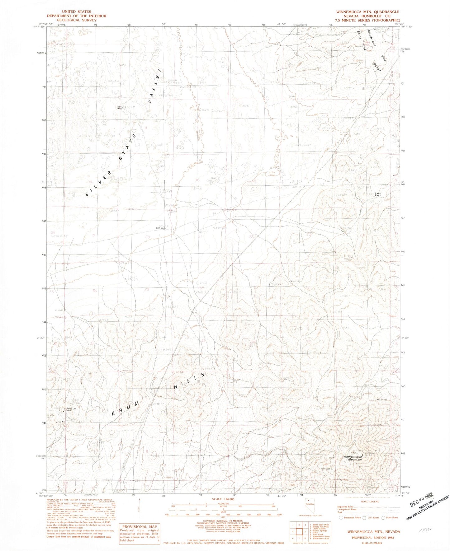
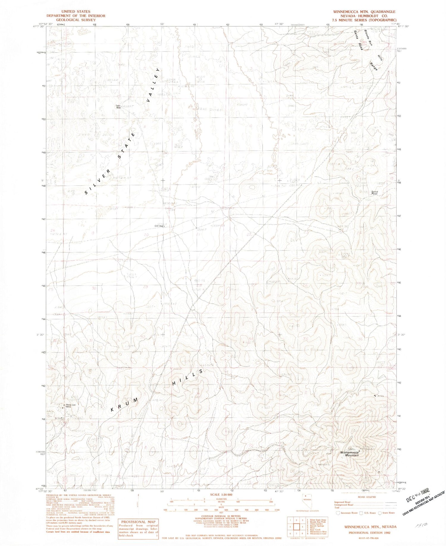
Historical USGS topographic quad map of Winnemucca Mountain in the state of Nevada. Map scale may vary for some years, but is generally around 1:24,000. Print size is approximately 24" x 27"
This quadrangle is in the following counties: Humboldt.
The map contains contour lines, roads, rivers, towns, and lakes. Printed on high-quality waterproof paper with UV fade-resistant inks, and shipped rolled.
Contains the following named places: Adamson Mine, Black Butte, CCC Well, Krum Hills, KWNA-FM (Winnemucca), Nevada Consolidated Mine, Pansy Lee Mine, Sand Pass, Shively Mine, Tobin Well, Winnemucca Air Force Station, Winnemucca Mountain