MyTopo
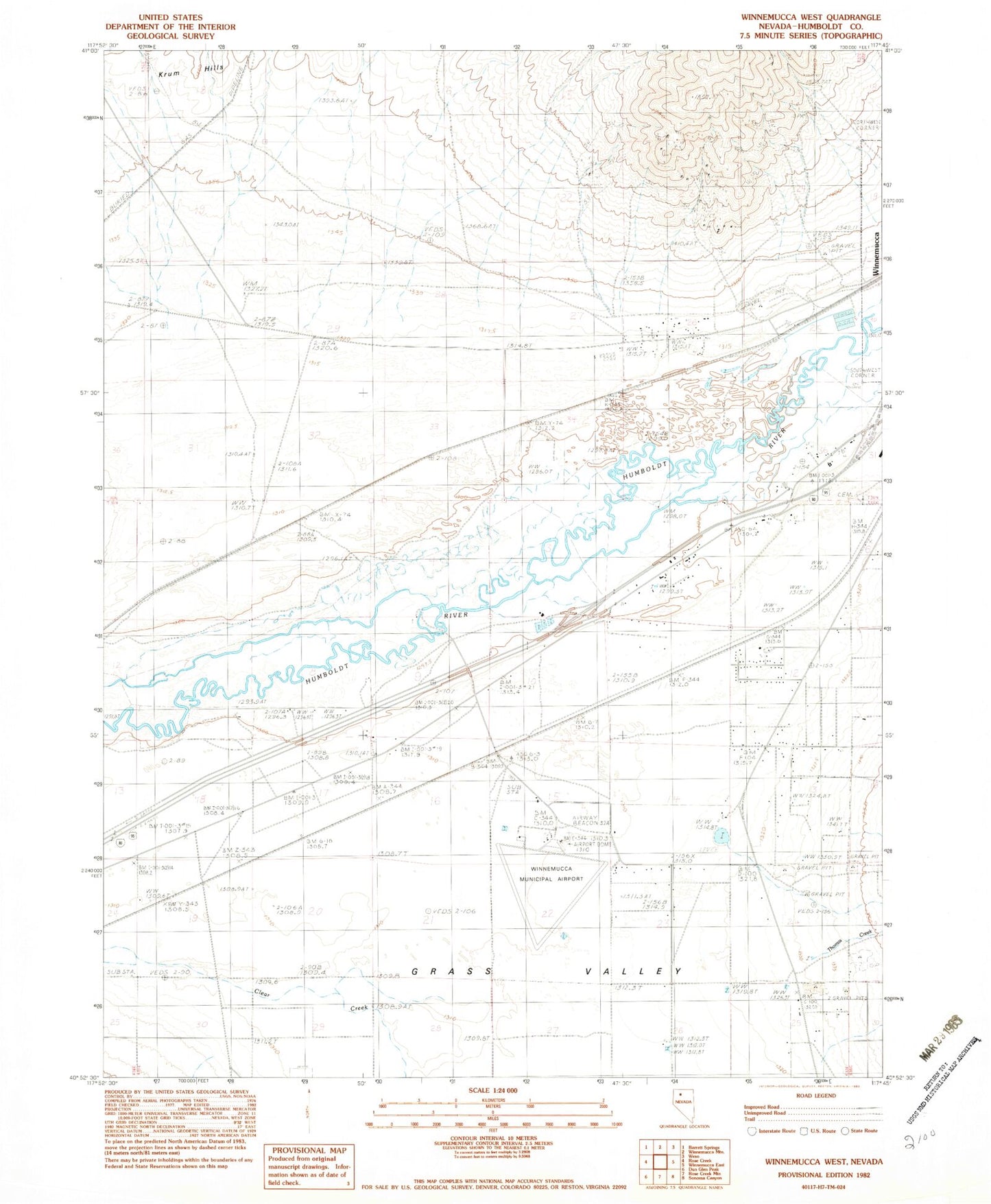
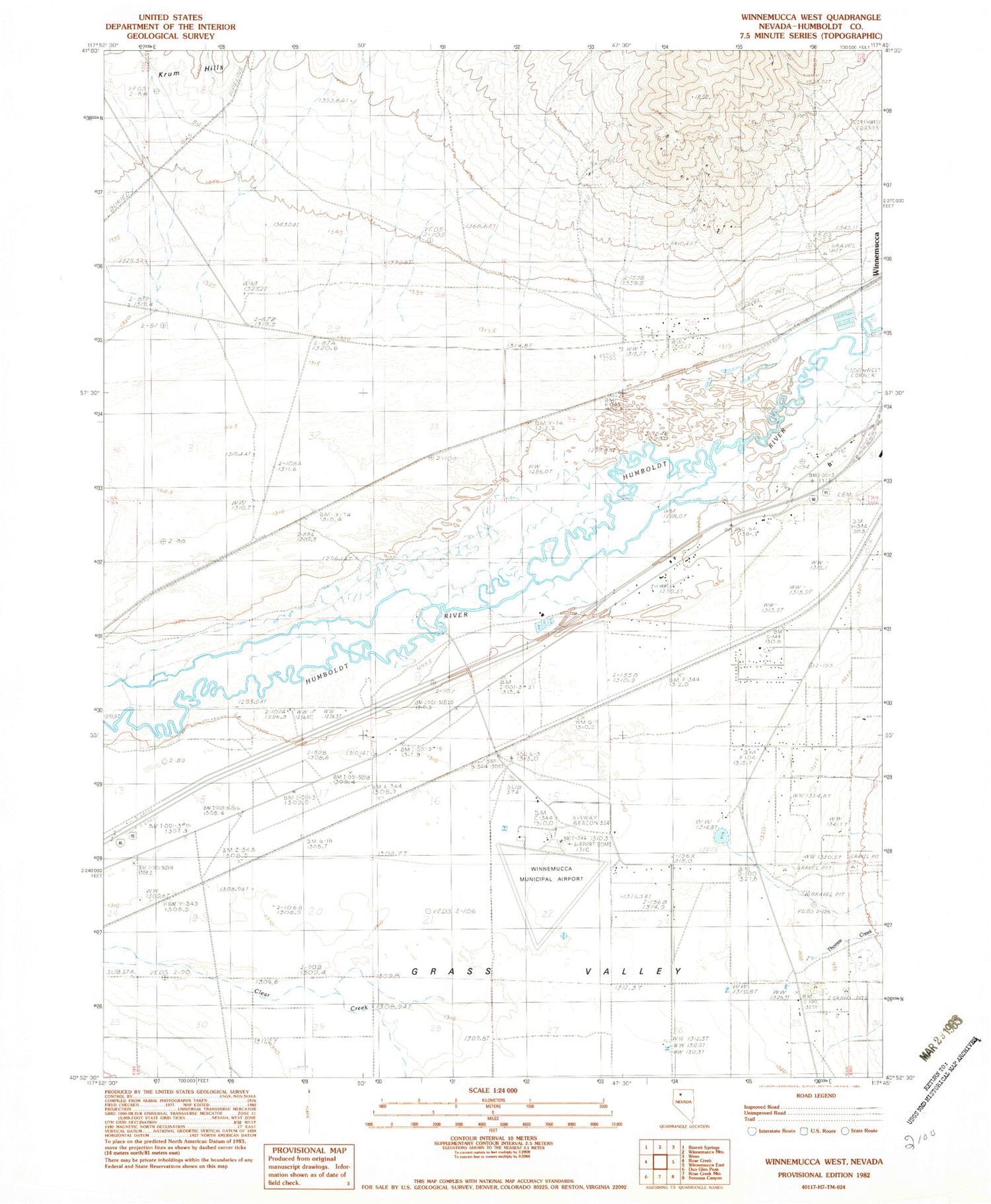
Classic USGS Winnemucca West Nevada 7.5'x7.5' Topo Map
Couldn't load pickup availability
Historical USGS topographic quad map of Winnemucca West in the state of Nevada. Map scale may vary for some years, but is generally around 1:24,000. Print size is approximately 24" x 27"
This quadrangle is in the following counties: Humboldt.
The map contains contour lines, roads, rivers, towns, and lakes. Printed on high-quality waterproof paper with UV fade-resistant inks, and shipped rolled.
Contains the following named places: Arigo Series Mine, Benin, Granite Ravine, Krum, Pride of the Mountain Mine, S Thomas Ranch, Santa Rosa Creek, Thomas Creek, Union Series Mine, Union Township, Westmoreland Ranch, Williams Station, Winnemucca Mine, Winnemucca Mining District, Winnemucca Municipal Airport, Winnemucca Rural Fire Department Station 2