MyTopo
Classic USGS Winnett South Montana 7.5'x7.5' Topo Map
Regular price
$16.95
Regular price
Sale price
$16.95
Unit price
per
Couldn't load pickup availability
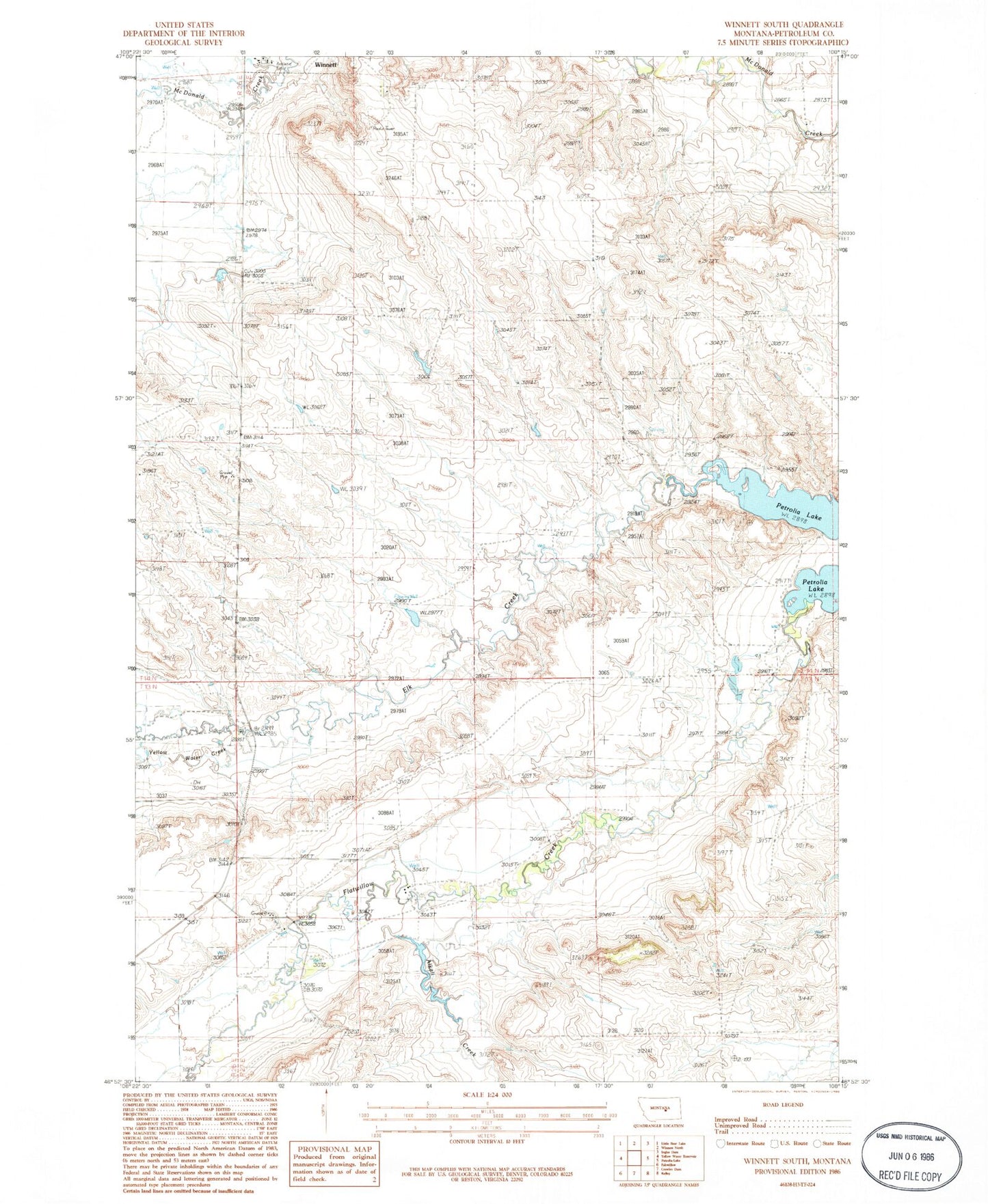
Historical USGS topographic quad map of Winnett South in the state of Montana. Map scale may vary for some years, but is generally around 1:24,000. Print size is approximately 24" x 27"
This quadrangle is in the following counties: Petroleum.
The map contains contour lines, roads, rivers, towns, and lakes. Printed on high-quality waterproof paper with UV fade-resistant inks, and shipped rolled.
Contains the following named places: 13N26E01DA__01 Well, 13N27E14ACC_01 Well, 14N26E25DDB_01 Well, 14N27E27CCB_01 Well, Alkali Creek, Bachman School, Bratten School, Elk Creek, First Baptist Church, Petrolia Lake, Winnett Airport, Winnett South Division, Yellow Water Creek