MyTopo
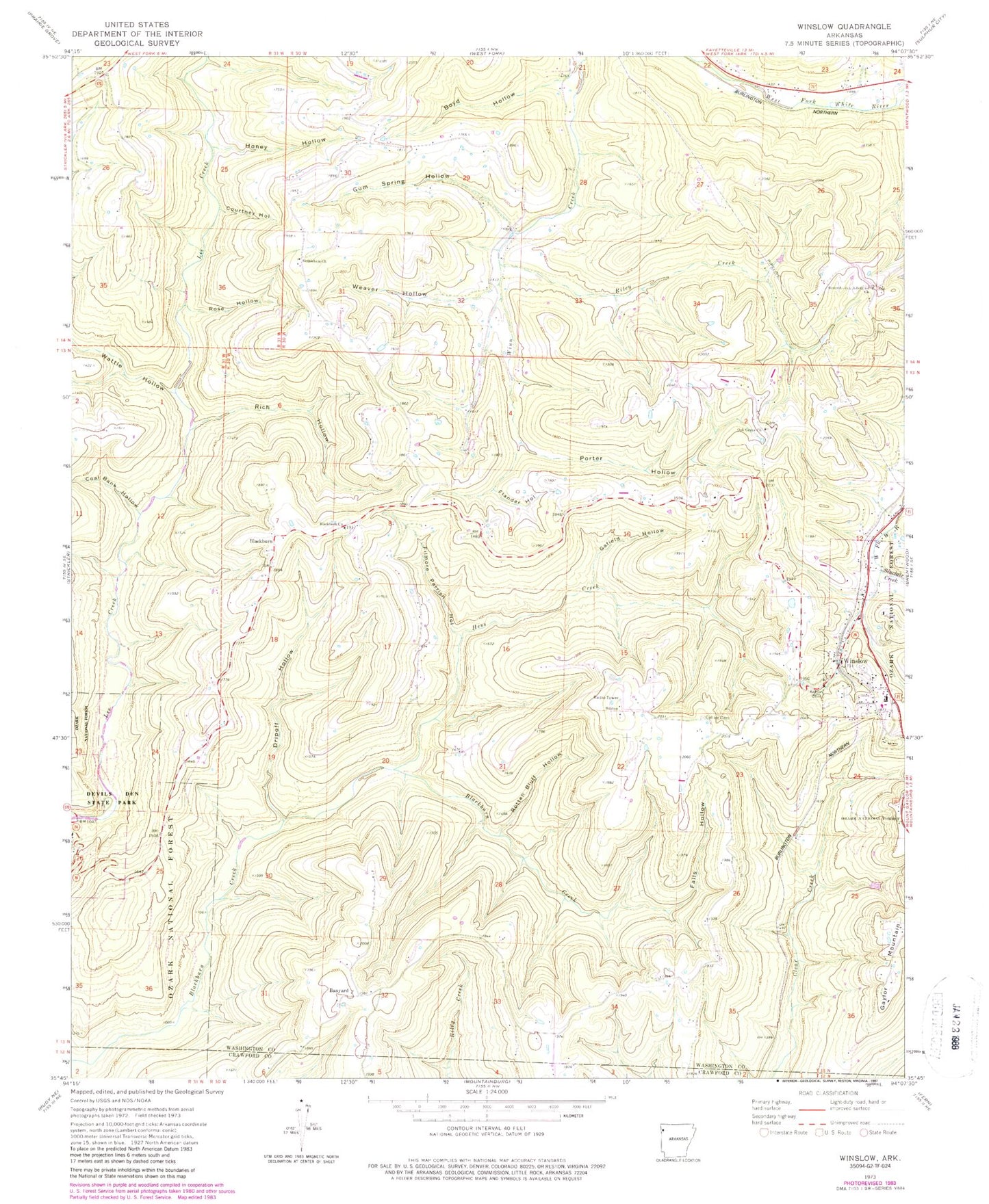
Classic USGS Winslow Arkansas 7.5'x7.5' Topo Map
Couldn't load pickup availability
Historical USGS topographic quad map of Winslow in the state of Arkansas. Typical map scale is 1:24,000, but may vary for certain years, if available. Print size: 24" x 27"
This quadrangle is in the following counties: Crawford, Washington.
The map contains contour lines, roads, rivers, towns, and lakes. Printed on high-quality waterproof paper with UV fade-resistant inks, and shipped rolled.
Contains the following named places: Oak Grove School, Seventh Day Adventist Church, Winslow Elementary School, Winslow High School, Winslow School (historical), Township of Lees Creek, Banyard, Bethlehem Church, Blackburn, Blackburn Church, Boyd Hollow, Coal Bank Hollow, Collier Cemetery, Courtney Hollow, Dripoff Hollow, Falls Hollow, Filmore Parrish Hollow, Flander Hollow, Gafield Hollow, Gum Spring Hollow, Hess Creek, Honey Hollow, Kelton Cemetery, Oak Grove Church, Porter Hollow, Rich Hollow, Riley Creek, Rose Hollow, Rotten Bluff Hollow, Sinclair Creek, Wattle Hollow, Weaver Hollow, Seventh Day Adventist Church, Winslow, Blackburn Post Office (historical), Winslow Post Office, Boston Mountain Fire Department Station 2, Boston Mountain Fire Department Station 3, City of Winslow


