MyTopo
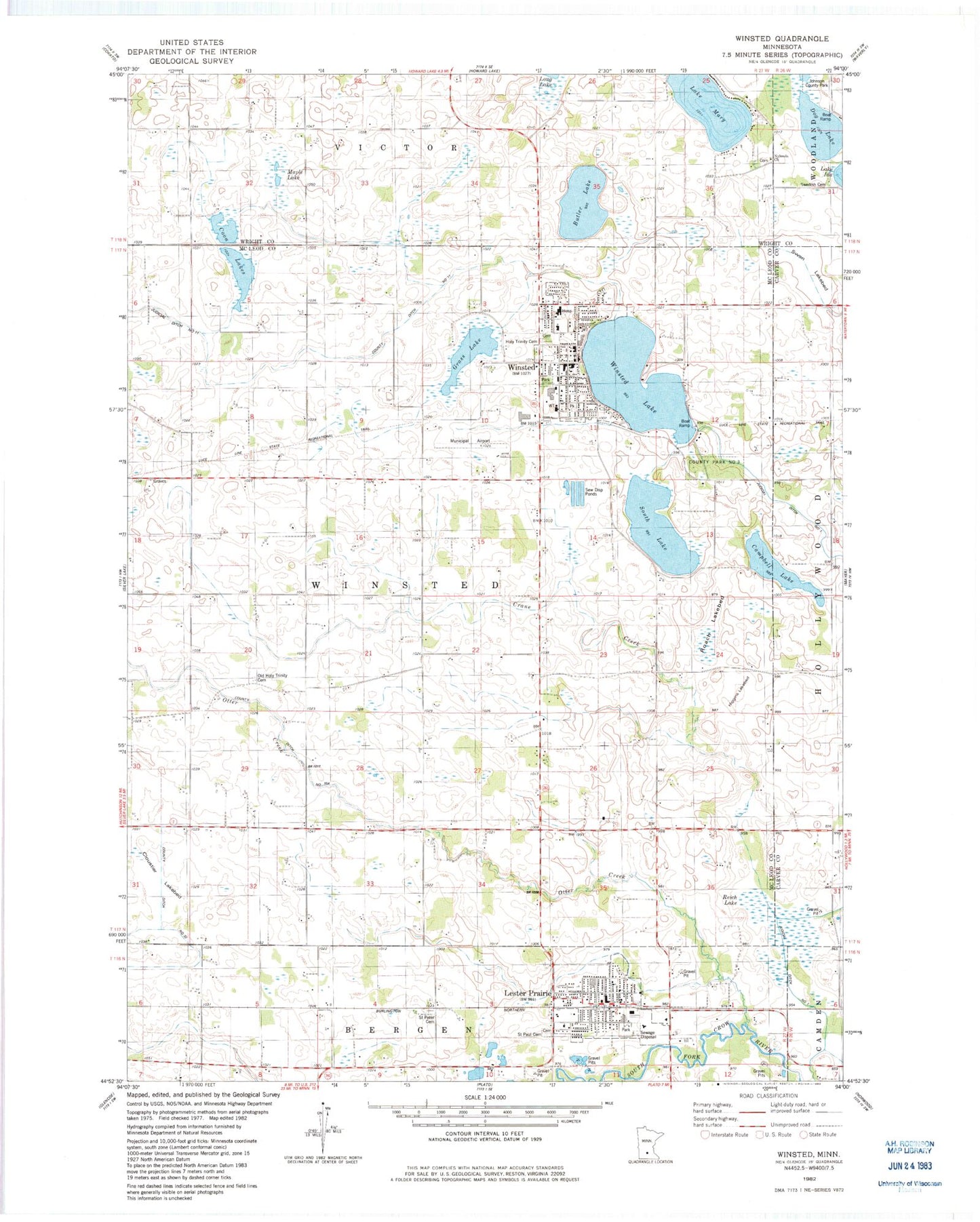
Classic USGS Winsted Minnesota 7.5'x7.5' Topo Map
Couldn't load pickup availability
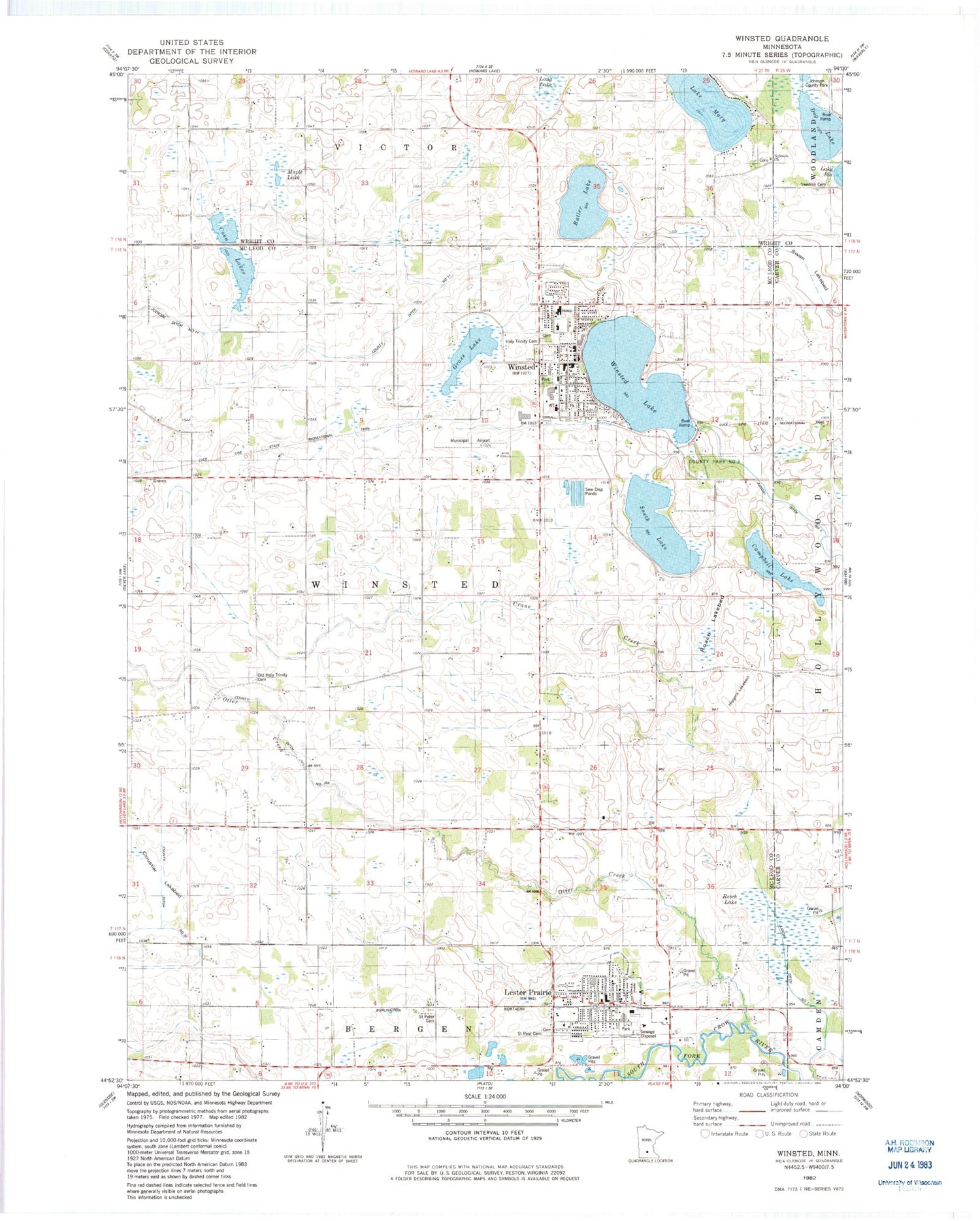
Historical USGS topographic quad map of Winsted in the state of Minnesota. Map scale may vary for some years, but is generally around 1:24,000. Print size is approximately 24" x 27"
This quadrangle is in the following counties: Carver, McLeod, Wright.
The map contains contour lines, roads, rivers, towns, and lakes. Printed on high-quality waterproof paper with UV fade-resistant inks, and shipped rolled.
Contains the following named places: Bethel Lutheran Church, Butler Lake, Campbell Lake, City of Lester Prairie, City of Winsted, Cloustier Lakebed, Coon Lakes, Country Acres, County Ditch Number Ten A, County Park Number Three, Dog Lake, Evangelical United Church of Christ, Grass Lake, Hainlin Park, Higgins Lakebed, Holy Trinity Catholic Church, Holy Trinity Cemetery, Holy Trinity Elementary School, Holy Trinity High School, Johnson County Park, Lake Mary, Lester Prairie, Lester Prairie City Cemetery, Lester Prairie City Hall, Lester Prairie Fire Department and First Responders, Lester Prairie Medical Clinic, Lester Prairie Police Department, Lester Prairie Post Office, Lester Prairie Public School, Maple Lake, Nylanda Church, Nylunda Cemetery, Old Holy Trinity Cemetery, Otter Creek, Parkview Mobile Home Park, Reich Lake, Ridgeview Ambulance Service Lester Prairie, Ridgeview Ambulance Service Winsted, Ridgeview Winsted Clinic, Roach Lakebed, Saint John's Lutheran Church, Saint Marys Care Center, Saint Paul Cemetery, Saint Paul's Lutheran Church, Saint Peter Cemetery, Saint Peter Lutheran Church, Saint Peter School, School Number 988, Serenity Airport, Shadowbrooke Golf Course, South Lake, Swan Lakebed, Swedish Cemetery, Township of Winsted, Winfield Police Department, Winfield Public Library, Winsted, Winsted City Hall, Winsted Elementary School, Winsted Fire Department, Winsted Lake, Winsted Lake Dam, Winsted Medical Clinic, Winsted Municipal Airport, Winsted Police Department, Winsted Post Office, ZIP Codes: 55354, 55395


