MyTopo
Classic USGS Winter Road Lake SW Minnesota 7.5'x7.5' Topo Map
Regular price
$16.95
Regular price
Sale price
$16.95
Unit price
per
Couldn't load pickup availability
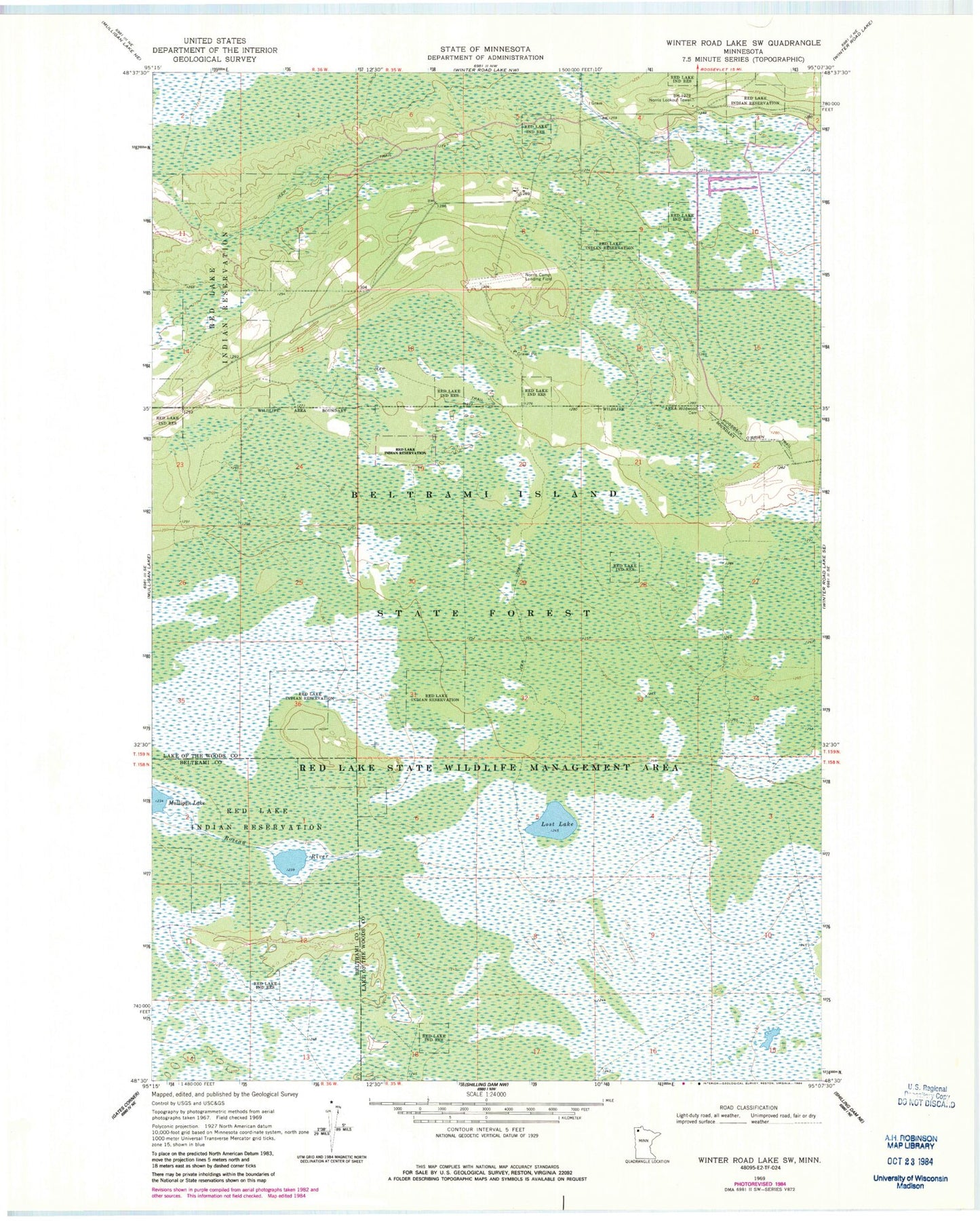
Historical USGS topographic quad map of Winter Road Lake SW in the state of Minnesota. Map scale may vary for some years, but is generally around 1:24,000. Print size is approximately 24" x 27"
This quadrangle is in the following counties: Beltrami, Lake of the Woods.
The map contains contour lines, roads, rivers, towns, and lakes. Printed on high-quality waterproof paper with UV fade-resistant inks, and shipped rolled.
Contains the following named places: Beltrami Island State Forest, Browns Lake, Cox-Coyour Memorial Air Field, Lost Lake, Norris Camp State Game Refuge, Norris Lookout Tower, Wildwood Cemetery