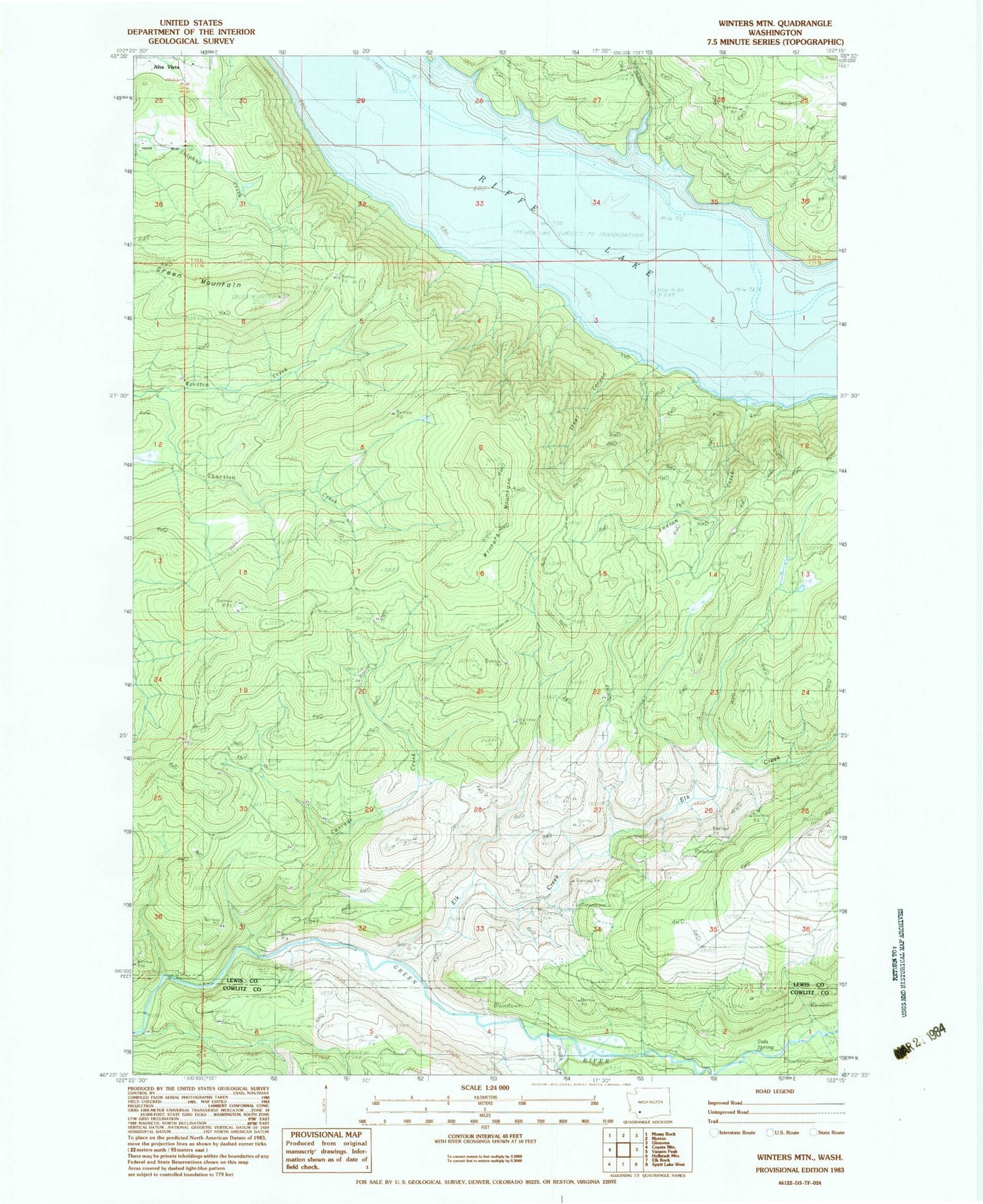
MyTopo
Classic USGS Winters Mountain Washington 7.5'x7.5' Topo Map
Regular price
$16.95
Regular price
Sale price
$16.95
Unit price
per
Couldn't load pickup availability
Historical USGS topographic quad map of Winters Mountain in the state of Washington. Map scale may vary for some years, but is generally around 1:24,000. Print size is approximately 24" x 27"
This quadrangle is in the following counties: Cowlitz, Lewis.
The map contains contour lines, roads, rivers, towns, and lakes. Printed on high-quality waterproof paper with UV fade-resistant inks, and shipped rolled.
Contains the following named places: Alta Vista, Cascade Creek, Elk Creek, Green Mountain, Indian Creek, Nesika, Nesika Bridge, Raatz Dam, Riffe Lake, Shelton Creek, Shultz Creek, Soda Spring, Steel Canyon, Swigert Creek, Winters Mountain