MyTopo
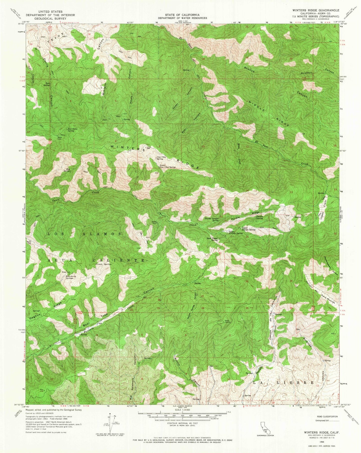
Classic USGS Winters Ridge California 7.5'x7.5' Topo Map
Couldn't load pickup availability
Historical USGS topographic quad map of Winters Ridge in the state of California. Map scale may vary for some years, but is generally around 1:24,000. Print size is approximately 24" x 27"
This quadrangle is in the following counties: Kern.
The map contains contour lines, roads, rivers, towns, and lakes. Printed on high-quality waterproof paper with UV fade-resistant inks, and shipped rolled.
Contains the following named places: Bad Name Spring, Bear Canyon, Bronco Canyon, Canyon de la Lecheria, Cedar Canyon, Cow Chip Spring, Elderberry Springs, Geghus Ridge, Hayes Canyon, Hog Spring, Juan Yaqui Spring, Lopez Flats, Lower Araujo Spring, Lower Cow Chip Spring, Madison Lodge, Marble Spring Canyon, Middle Ridge, Purdie Canyon Spring, Purdie Ridge, Purdie Spring, Quinn Ranch, Sanbergs Lodge, Sauls Ranch, Stratton Canyon, Tehachapi Mountains, Tule Spring, Upper Araujo Spring, Urcado Springs, Winters Ridge, Witch Creek


