MyTopo
Classic USGS Winthrop Arkansas 7.5'x7.5' Topo Map
Couldn't load pickup availability
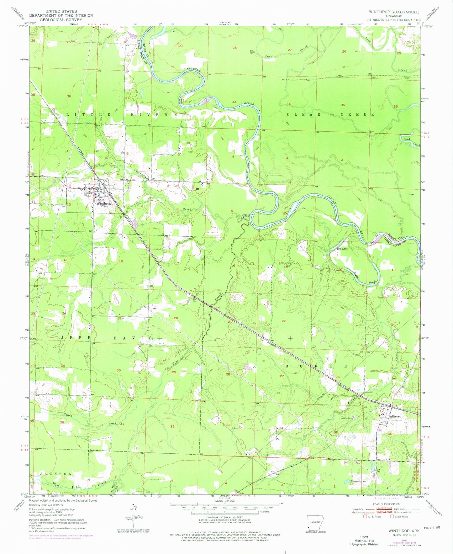
Historical USGS topographic quad map of Winthrop in the state of Arkansas. Map scale may vary for some years, but is generally around 1:24,000. Print size is approximately 24" x 27"
This quadrangle is in the following counties: Little River, Sevier.
The map contains contour lines, roads, rivers, towns, and lakes. Printed on high-quality waterproof paper with UV fade-resistant inks, and shipped rolled.
Contains the following named places: Alleene, Alleene Baptist Church, Alleene Cemetery, Alleene Census Designated Place, Alleene Fire Department, Alleene Post Office, Alleene School, Boggy Slough, Calton Creek, City of Winthrop, Cotton Woods Shoals, East Flat Creek, Flat Creek, Freeman Cemetery, Hawkins Ford, Hurricane Creek, Leidygate, Lippton, Red Lake, Roberts Branch, Township of Burke, Township of Little River, West Flat Creek, Winthrop, Winthrop Elementary School, Winthrop Fire Department, Winthrop High School, Winthrop Post Office, Yellow Banks Landing, ZIP Code: 71820