MyTopo
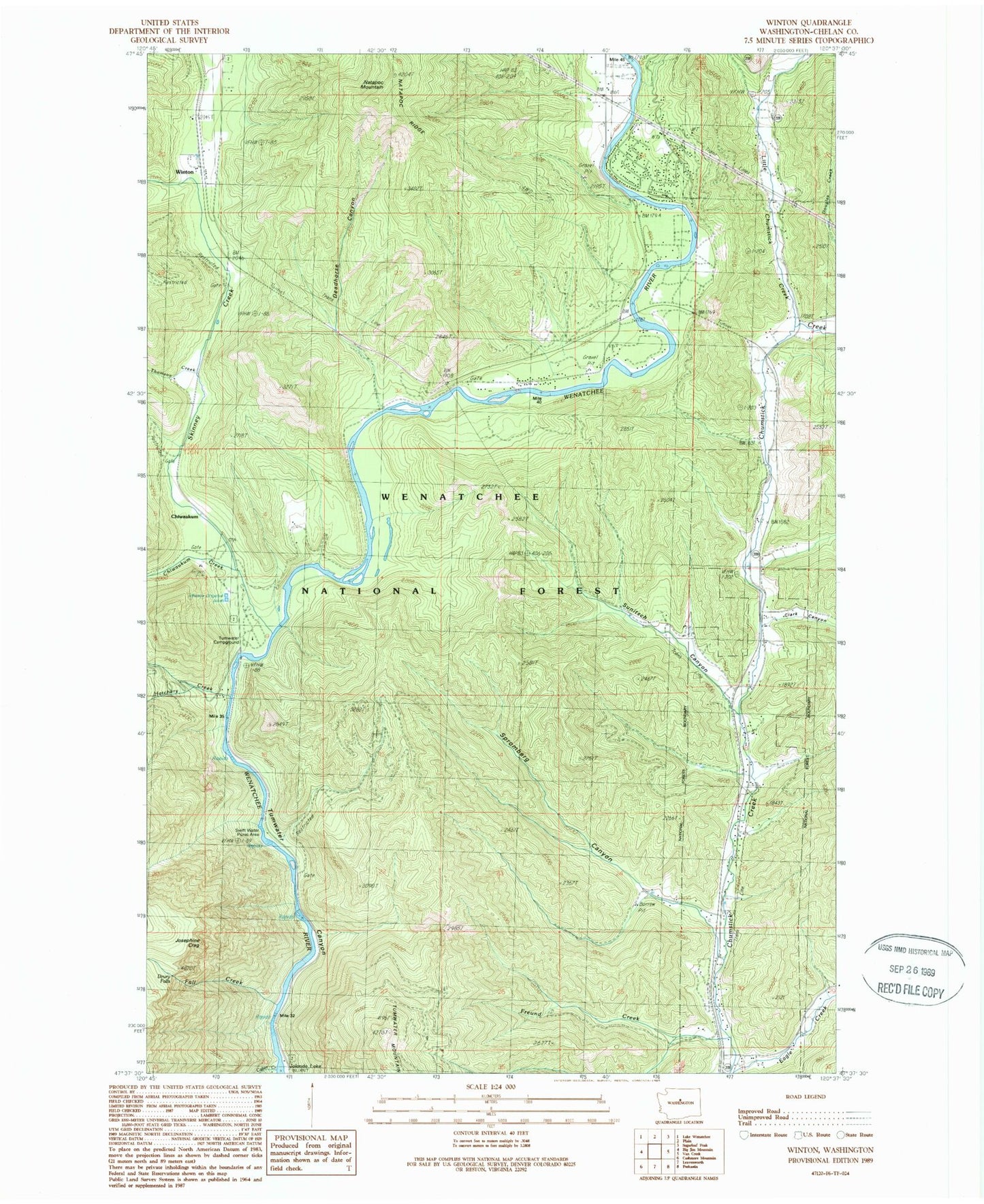
Classic USGS Winton Washington 7.5'x7.5' Topo Map
Couldn't load pickup availability
Historical USGS topographic quad map of Winton in the state of Washington. Typical map scale is 1:24,000, but may vary for certain years, if available. Print size: 24" x 27"
This quadrangle is in the following counties: Chelan.
The map contains contour lines, roads, rivers, towns, and lakes. Printed on high-quality waterproof paper with UV fade-resistant inks, and shipped rolled.
Contains the following named places: Cabin Creek, Chiwaukum, Chiwaukum Creek, Chumstick, Clark Canyon, Deadhorse Canyon, Drury Falls, Fall Creek, Freund Creek, Hatchery Creek, Josephine Crag, Little Chumstick Creek, Natapoc Mountain, Skinney Creek, Spromberg Canyon, Sunitsch Canyon, Swift Water Picnic Area, Thomson Creek, Tumwater Campground, Winton, Winton Elementary School, Natapoc Ridge, Chelan County Fire District 4