MyTopo
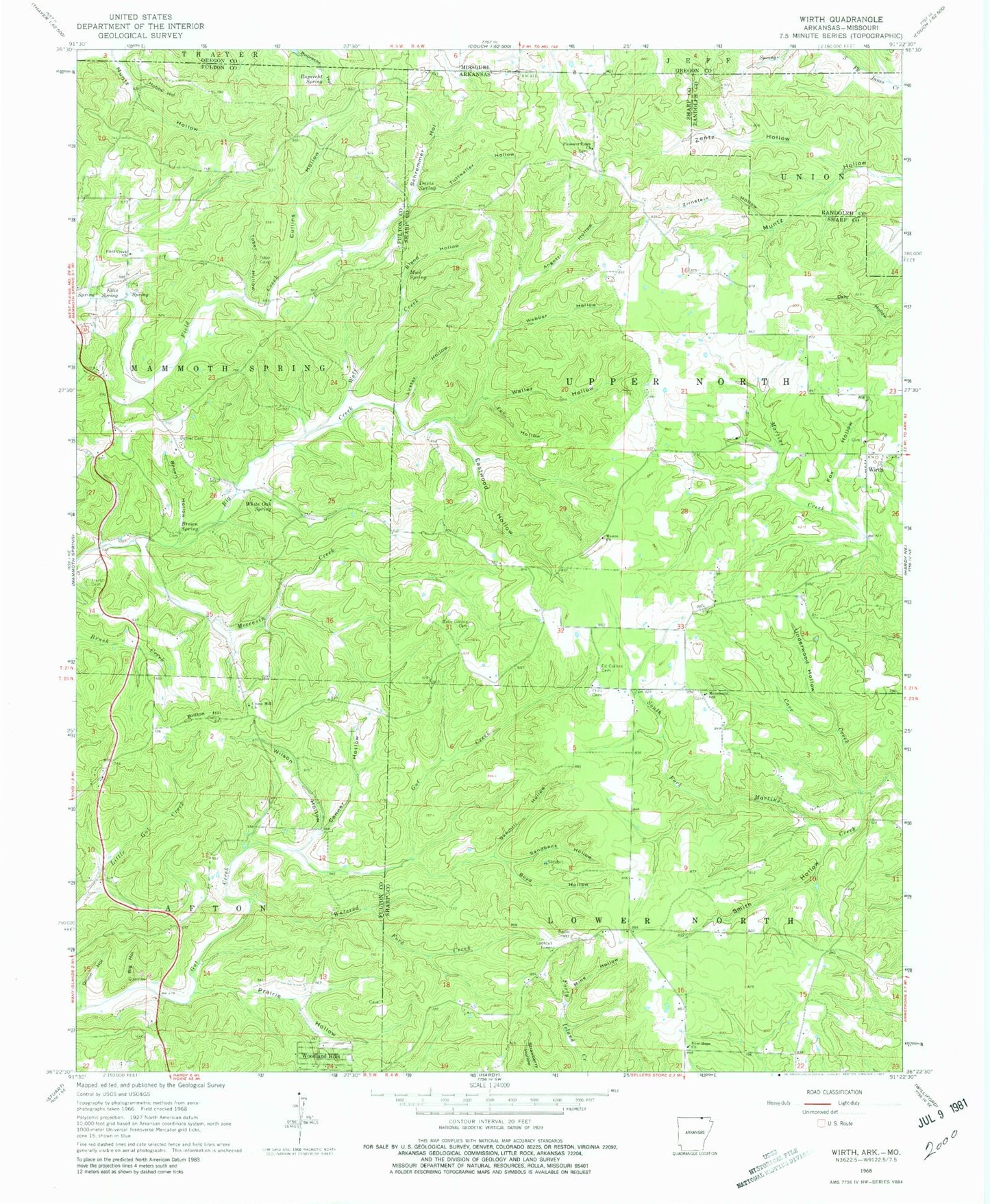
Classic USGS Wirth Arkansas 7.5'x7.5' Topo Map
Couldn't load pickup availability
Historical USGS topographic quad map of Wirth in the states of Arkansas, Missouri. Map scale may vary for some years, but is generally around 1:24,000. Print size is approximately 24" x 27"
This quadrangle is in the following counties: Fulton, Oregon, Randolph, Sharp.
The map contains contour lines, roads, rivers, towns, and lakes. Printed on high-quality waterproof paper with UV fade-resistant inks, and shipped rolled.
Contains the following named places: Angotti Hollow, Babe Collins Cemetery, Bethel Cemetery, Big Hollow, Bland Hollow, Boyd Hollow, Britton Hill, Brown Hollow, Brown Spring, Cave Creek, Conner Hollow, Cullins Hollow, Davis Spring, Eastwood Hollow, Ed Collins Cemetery, Ellis Spring, Field Creek Church, Flint Cemetery, Fox Hollow, Hanns Church, Hobbs Hollow, Hurst Cemetery, Luster Hollow, Mennonite School, Mine Hollow, Moccasin Creek, Mud Spring, New Hope Church, Onion Hollow, Pleasant Ridge Church, Prairie Hollow, Ruprecht Hollow, Ruprecht Spring, Sandbank Hollow, Sawmill Hollow, Schremmer Hollow, Smith Hollow, Tober Hollow, Township of Lower North, Township of North, Township of Upper North, Tuttwaller Hollow, Underwood Hollow, Union Hill Church, Waller Hollow, Watered Fork Creek, Webber Hollow, White Oak Spring, Wilson Hollow, Wirth, Wirth Volunteer Fire Department, Wolf Creek, Woodland Hills, Zentz Hollow, Zirnstein Hollow


