MyTopo
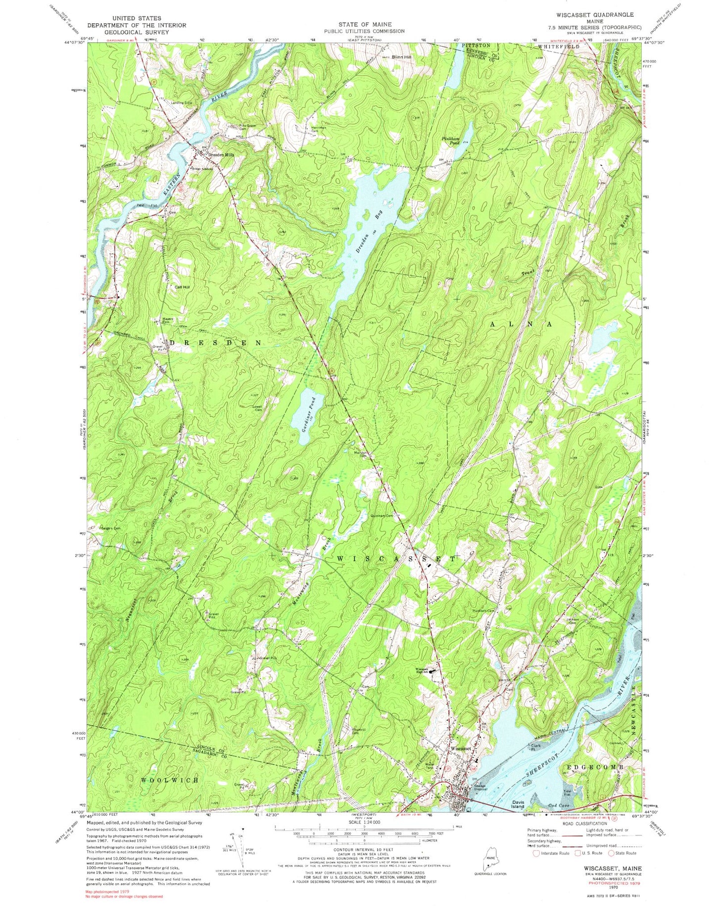
Classic USGS Wiscasset Maine 7.5'x7.5' Topo Map
Couldn't load pickup availability
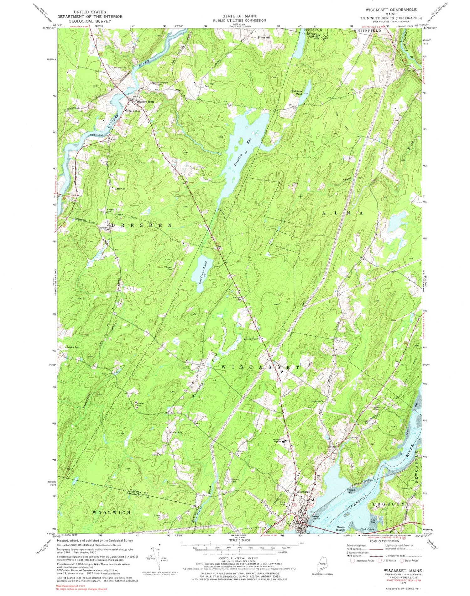
Historical USGS topographic quad map of Wiscasset in the state of Maine. Map scale may vary for some years, but is generally around 1:24,000. Print size is approximately 24" x 27"
This quadrangle is in the following counties: Kennebec, Lincoln, Sagadahoc.
The map contains contour lines, roads, rivers, towns, and lakes. Printed on high-quality waterproof paper with UV fade-resistant inks, and shipped rolled.
Contains the following named places: Ancient Cemetery, Blinn Hill, Bridge Academy, Bridge Academy Public Library, Call Hill, Castle Tucker House Museum, Clark Point, Cod Cove, Dresden Bog Dam, Dresden Bog Reservoir, Dresden Community Church, Dresden Mills, Dresden Post Office, Dresden Volunteer Fire Department Station 1, Evergreen Cemetery, First Congregational Church, Gardiner Pond, Herriman Cemetery, Huntoon Hill Cemetery, Jackson Cemetery, Lincoln County Historical Society and Museum, Lincoln County Law Library, Lincoln County Sheriff's Office, Lowell Cemetery, Maine Art Gallery, Marston Cemetery, Mayers Cemetery, Montsweag Dam- Mason Station, Montsweag Reservoir, Musical Wonder House Music Museum, Nickels-Sortwell House, Pine Grove Cemetery, Pinkham Pond, Quinnam Cemetery, Rhumrill Cemetery, Saint Johns Episcopal Church, Saint Philips Episcopal Church, Seigars Cemetery, Sheepscot Valley Children's House School, Town of Alna, Town of Dresden, Town of Wiscasset, Trout Brook, Trout Brook Dam, Verney-Leighton Marsh, Verney-Leighton Marsh Dam, Wiscasset, Wiscasset Ambulance Service, Wiscasset Census Designated Place, Wiscasset Elementary School, Wiscasset Historic District, Wiscasset Jail and Museum, Wiscasset Middle / High School, Wiscasset Police Department, Wiscasset Post Office, Wiscasset Primary School, Wiscasset Public Library, Wiscasset Volunteer Fire Station, ZIP Codes: 04342, 04535


