MyTopo
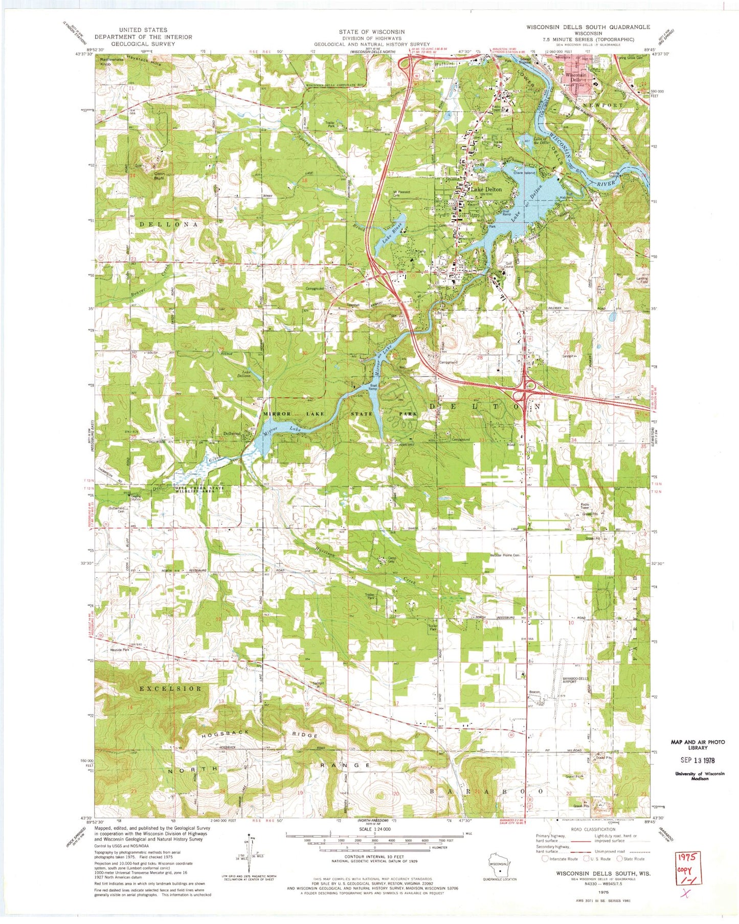
Classic USGS Wisconsin Dells South Wisconsin 7.5'x7.5' Topo Map
Couldn't load pickup availability
Historical USGS topographic quad map of Wisconsin Dells South in the state of Wisconsin. Map scale may vary for some years, but is generally around 1:24,000. Print size is approximately 24" x 27"
This quadrangle is in the following counties: Columbia, Sauk.
The map contains contour lines, roads, rivers, towns, and lakes. Printed on high-quality waterproof paper with UV fade-resistant inks, and shipped rolled.
Contains the following named places: Baraboo-Wisconsin Dells Regional Airport, Buckhorn Lake, Butterfield Cemetery, Butterfield School, Camp C H I, Camp Gray, Clare Island, Coon Bluff, Deer Run Estates, Dell Creek, Dell Creek WP 272 Dam, Dells - Delton Emergency Medical Services Delton Station, Dells Manor Dam, Dellwood, Delton 3WR303 Dam, Delton Fire Department, Fern Dell Gorge State Natural Area, Harrison Creek, Haystack Hills, Hogsback Ridge, Hulburt Creek, Jopp School, Kilbourn Academy, Lake Blass, Lake Dellona, Lake Dellona G4266 Dam, Lake Delton, Lake Delton Elementary School, Lake Delton Police Department, Lake Delton Post Office, Lake of the Dells, Lost Canyon, McBoyle Dells Airport, Medos Lake Delton Seaplane Base, Mirror Lake, Mirror Lake Pine-Oak Forest State Natural Area, Mirror Lake School, Mirror Lake State Park, Mount Pleasant Cemetery, Pleasant Grove School, Spring Brook, Spring Hill Elementary School, Spring Hill Middle School, Town of Delton, Village of Lake Delton, Webster Prairie Cemetery, Webster Prairie School, Wisconsin Dells High School, Wisconsin Dells Post Office, Wisconsin Dells Wastewater Treatment Plant


