MyTopo
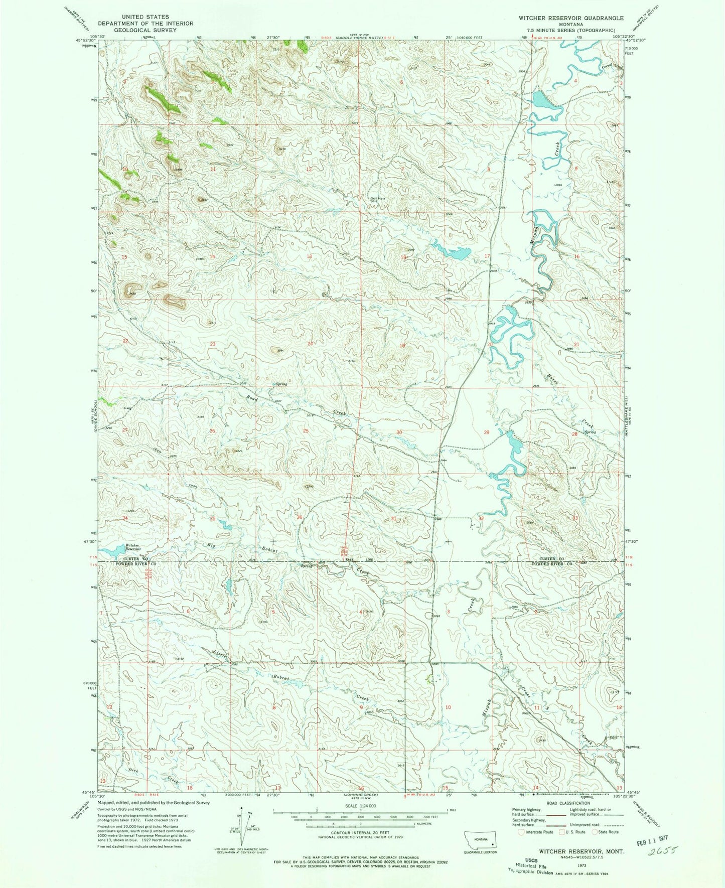
Classic USGS Witcher Reservoir Montana 7.5'x7.5' Topo Map
Couldn't load pickup availability
Historical USGS topographic quad map of Witcher Reservoir in the state of Montana. Map scale may vary for some years, but is generally around 1:24,000. Print size is approximately 24" x 27"
This quadrangle is in the following counties: Custer, Powder River.
The map contains contour lines, roads, rivers, towns, and lakes. Printed on high-quality waterproof paper with UV fade-resistant inks, and shipped rolled.
Contains the following named places: 01N50E22DADB01 Well, 02N51E05DAAB01 Well, Big Bobcat Creek, Corral Creek, Cross S Creek, Horse Creek, Little Bobcat Creek, Ness Number 1 Dam, Rafferty Number 5 Dam, Road Creek, Russiff Number 2 Dam, W Krutzfeldt Number 1 Dam, W Krutzfeldt Number 2 Dam, W Krutzfeldt Number 3 Dam, W Krutzfeldt Number 4 Dam, Witcher Dam, Witcher Reservoir