MyTopo
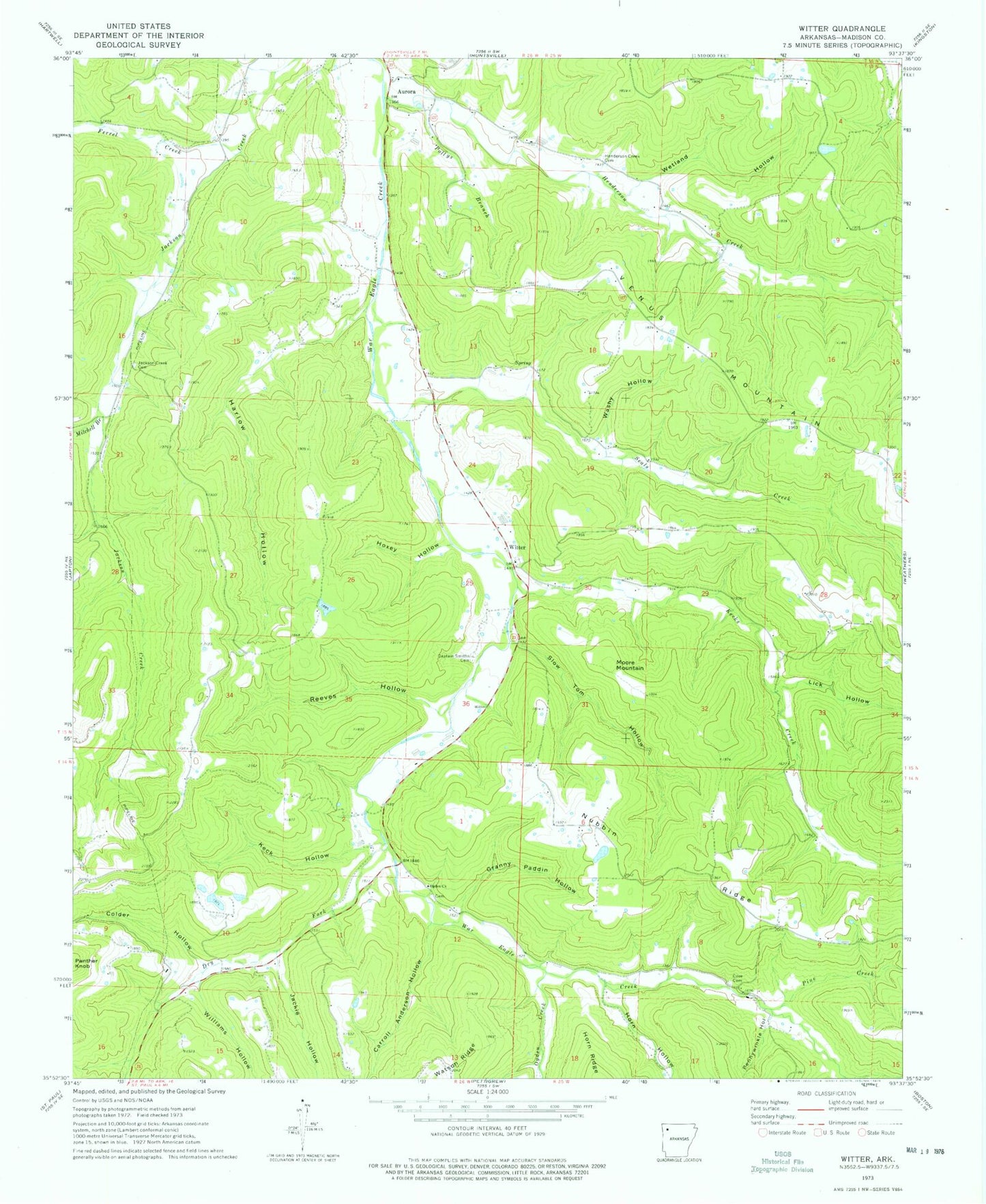
Classic USGS Witter Arkansas 7.5'x7.5' Topo Map
Couldn't load pickup availability
Historical USGS topographic quad map of Witter in the state of Arkansas. Map scale may vary for some years, but is generally around 1:24,000. Print size is approximately 24" x 27"
This quadrangle is in the following counties: Madison.
The map contains contour lines, roads, rivers, towns, and lakes. Printed on high-quality waterproof paper with UV fade-resistant inks, and shipped rolled.
Contains the following named places: Aurora, Captain Smiths Cemetery, Carroll Anderson Hollow, Colder Hollow, Cove Cemetery, Dry Fork, Ferrel Creek, Granny Paddin Hollow, Harlow Hollow, Henderson Creek, Henderson Creek Cemetery, Horn Hollow, Hoxey Hollow, Jackie Hollow, Jackson Creek Cemetery, Jordan, Keck Hollow, Kecks Creek, Lick Hollow, Mitchell Branch, Moore Mountain, Nubbin Ridge, Ogden Church, Ogden Creek, Pennywinkle Hollow, Pine Creek, Pollys Branch, Reeves Hollow, Seals Creek, Slow Tom Hollow, Township of Bowen, Township of Lincoln, Venquin, Washy Hollow, Wetland Hollow, Williams Hollow, Witter, Witter - Aurora Volunteer Fire Department, Witter Post Office, ZIP Code: 72776


