MyTopo
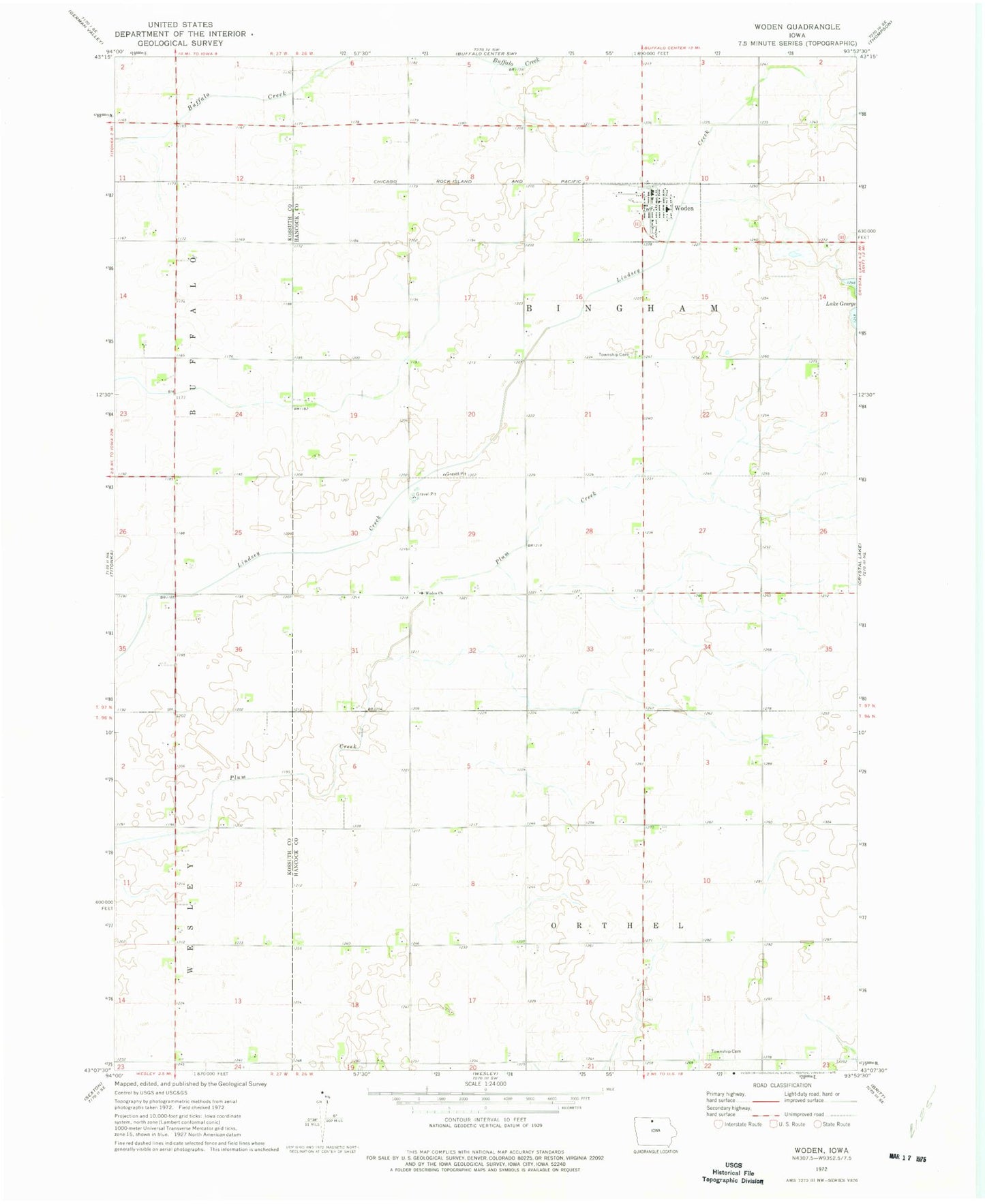
Classic USGS Woden Iowa 7.5'x7.5' Topo Map
Couldn't load pickup availability
Historical USGS topographic quad map of Woden in the state of Iowa. Map scale may vary for some years, but is generally around 1:24,000. Print size is approximately 24" x 27"
This quadrangle is in the following counties: Hancock, Kossuth.
The map contains contour lines, roads, rivers, towns, and lakes. Printed on high-quality waterproof paper with UV fade-resistant inks, and shipped rolled.
Contains the following named places: Bingham Township Cemetery, Buffalo Creek, Christian Reformed Cemetery, City of Woden, Drainage Ditch Number 97, Farmers Co-op Elevator, First Presbyterian Church, Lindsey Creek, Orthel Township Cemetery, Plum Creek, Sacred Heart Catholic Church, Saint Johns Lutheran Church, Township of Bingham, Township of Orthel, Woden, Woden Church, Woden Community Center, Woden Fire Department, Woden Post Office, Woden Public Library, ZIP Code: 50484