MyTopo
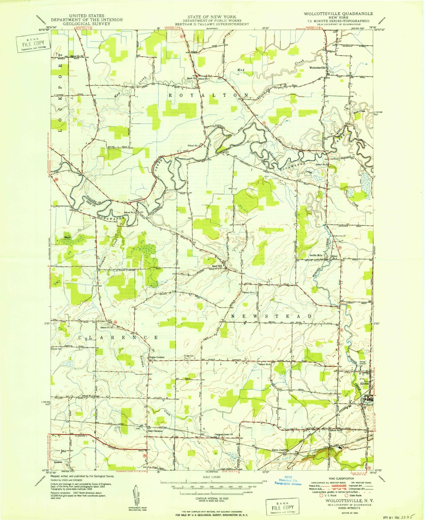
Classic USGS Wolcottsville New York 7.5'x7.5' Topo Map
Couldn't load pickup availability
Historical USGS topographic quad map of Wolcottsville in the state of New York. Map scale may vary for some years, but is generally around 1:24,000. Print size is approximately 24" x 27"
This quadrangle is in the following counties: Erie, Niagara.
The map contains contour lines, roads, rivers, towns, and lakes. Printed on high-quality waterproof paper with UV fade-resistant inks, and shipped rolled.
Contains the following named places: Akron Junction, Akron Village Hall, Akron Village Wastewater Treatment Plant, Akron Volunteer Fire Company Station 1, Anchor Farms, Arrowhead Golf Club, Bedford Greenhouse, Beeman Cemetery, Beeman Creek, Black Creek, Block Church, Calvary Baptist Church, Clarence Center - Akron Mennonite Church, East Clarence, Elridge Cemetery, Fellowship Baptist Church, First Baptist Church of Clarence, Hunts Corners, Ledge Creek, Merkle Airport, Murder Creek, New Hope Presbyterian Church, New York State Police Troop A Zone 2 Newstead Station, Newstead Volunteer Fire Company Station 1, Newstead Volunteer Fire Company Station 2, Rothland Golf Course, Saint Ignatius Retreat Home, Saint Michaels Church, Saint Michaels Lutheran Cemetery, Saint Teresa School, Saint Teresa's Roman Catholic Church, Sand Hill, School Number 10, School Number 11, School Number 12, School Number 18, School Number 19, School Number 2, School Number 4, School Number 5, School Number 6, School Number 7, Swifts Mills, Tonawanda Creek Bridge, Town of Newstead, Trinity Church, Trinity Lutheran Cemetery, Wideman Farms, Wolcottsville, Wolcottsville Volunteer Fire Company, ZIP Code: 14001


