MyTopo
Classic USGS Wolf Creek Summit Utah 7.5'x7.5' Topo Map
Couldn't load pickup availability
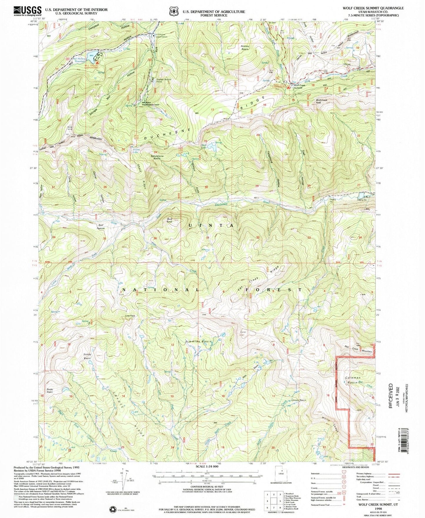
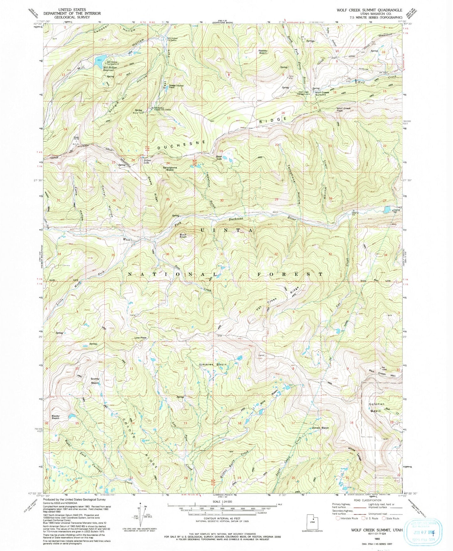
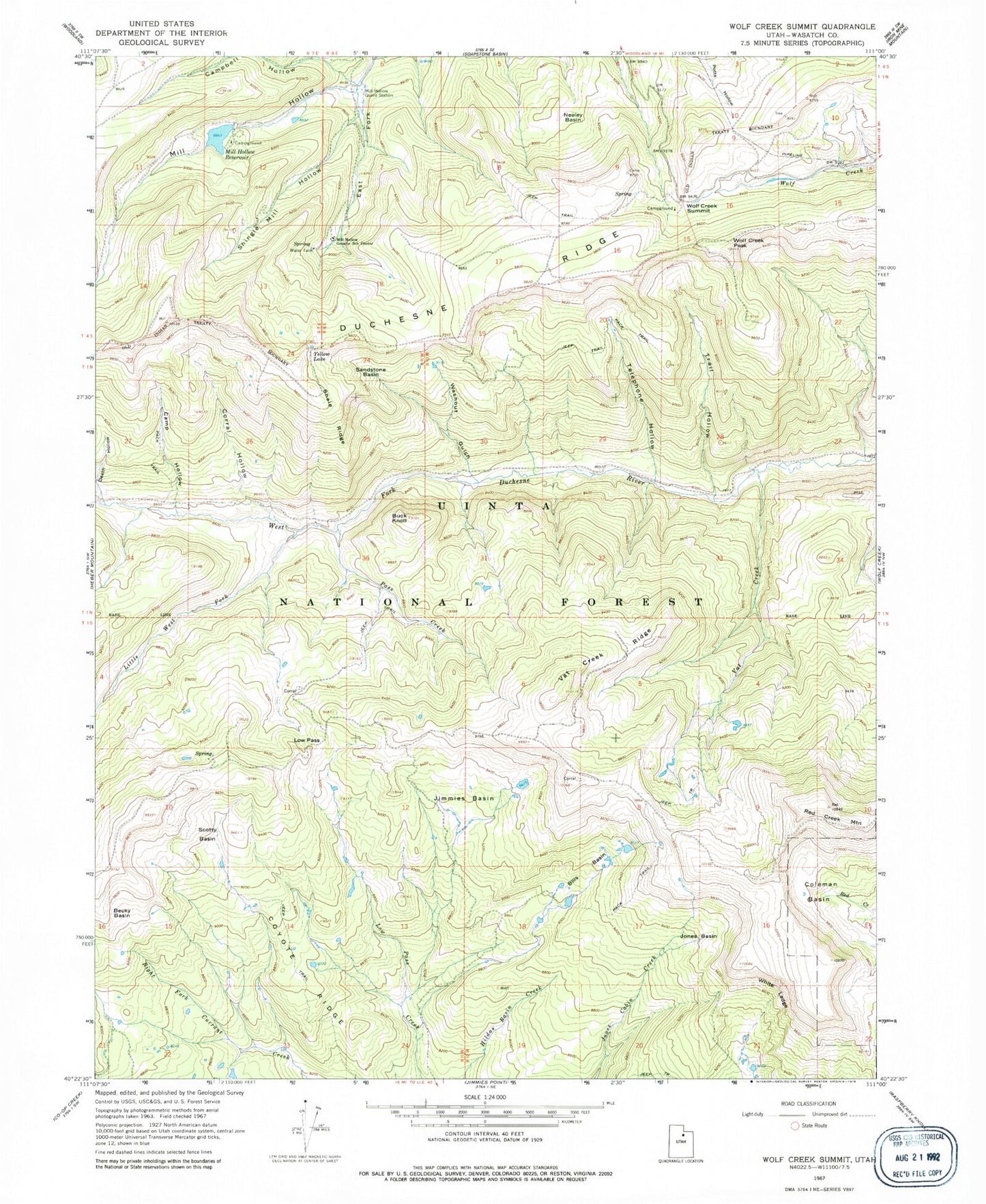
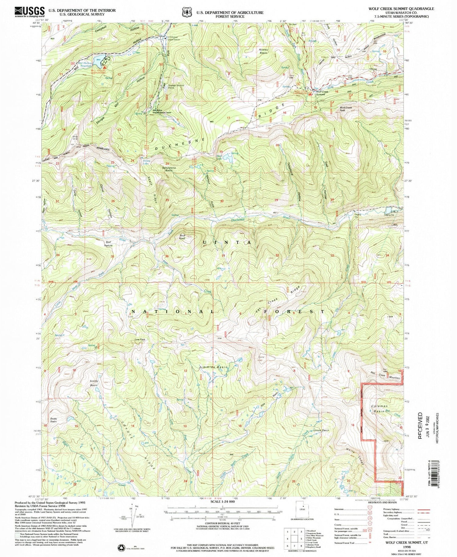
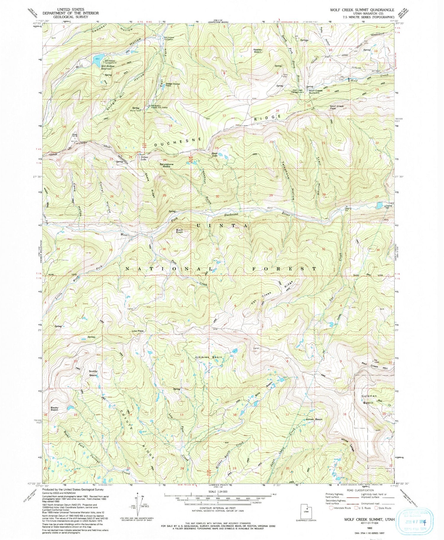
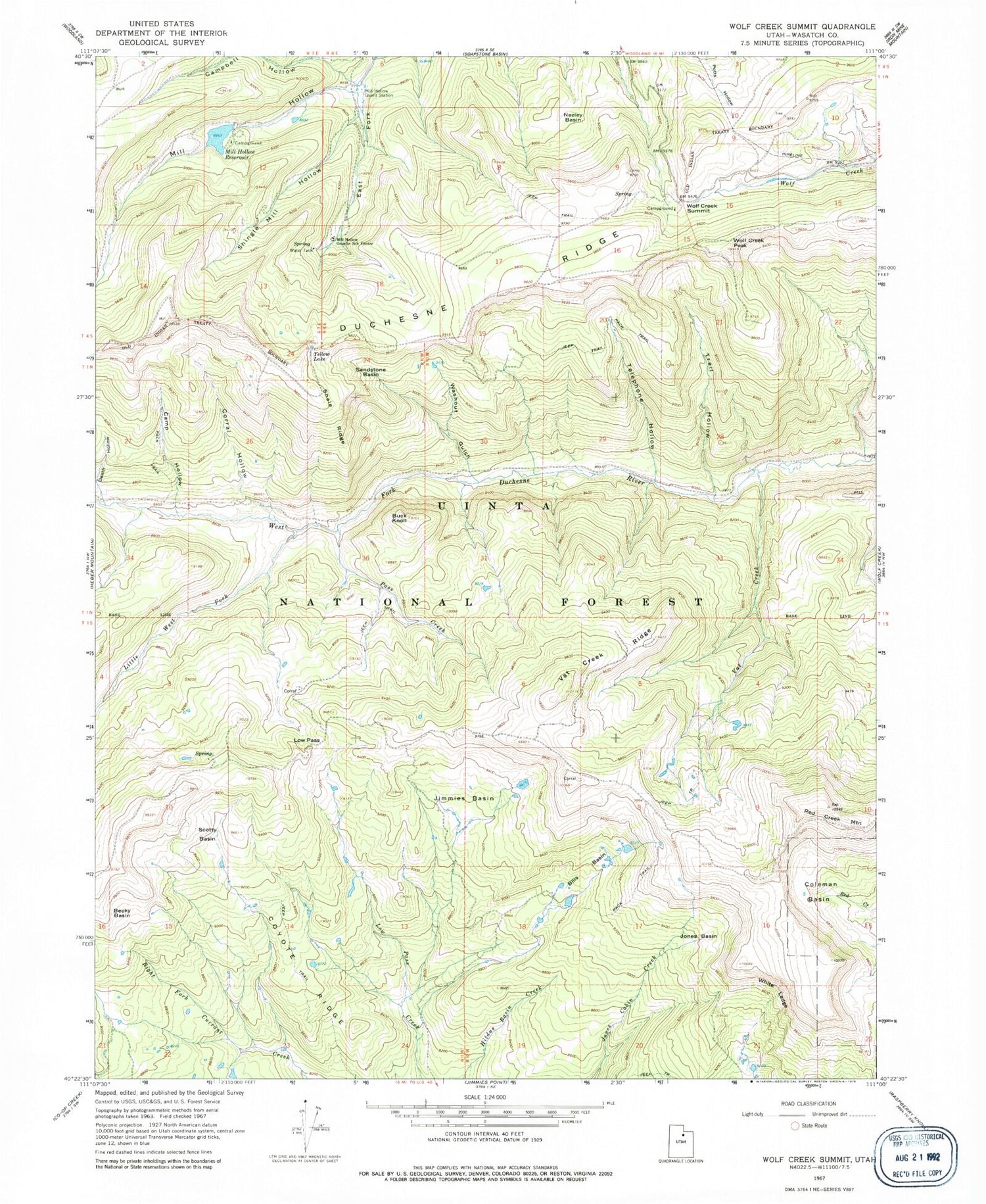
Historical USGS topographic quad map of Wolf Creek Summit in the state of Utah. Typical map scale is 1:24,000, but may vary for certain years, if available. Print size: 24" x 27"
This quadrangle is in the following counties: Wasatch.
The map contains contour lines, roads, rivers, towns, and lakes. Printed on high-quality waterproof paper with UV fade-resistant inks, and shipped rolled.
Contains the following named places: Becky Basin, Bills Basin, Buck Knoll, Camp Hollow, Campbell Hollow, Coleman Basin, Corral Hollow, Coyote Ridge, East Fork Mill Hollow, Jimmies Basin, Jones Basin, Little West Fork, Low Pass, Mill Hollow Granite School Center, Mill Hollow Guard Station, Mill Hollow Reservoir, Neeley Basin, Pass Creek, Red Creek Mountain, Sandstone Basin, Scotty Basin, Shale Ridge, Telephone Hollow, Trail Hollow, Vat Creek, Vat Creek Ridge, Washout Gulch, White Ledge, Wolf Creek Summit, Yellow Lake, Mill Hollow Dam, Wolf Creek Peak, Beef Pasture, Vat Tunnel, Heart Lake, Mill Hollow Campground, Wolf Creek Campground, Becky Basin, Bills Basin, Buck Knoll, Camp Hollow, Campbell Hollow, Coleman Basin, Corral Hollow, Coyote Ridge, East Fork Mill Hollow, Jimmies Basin, Jones Basin, Little West Fork, Low Pass, Mill Hollow Granite School Center, Mill Hollow Guard Station, Mill Hollow Reservoir, Neeley Basin, Pass Creek, Red Creek Mountain, Sandstone Basin, Scotty Basin, Shale Ridge, Telephone Hollow, Trail Hollow, Vat Creek, Vat Creek Ridge, Washout Gulch, White Ledge, Wolf Creek Summit, Yellow Lake, Mill Hollow Dam, Wolf Creek Peak, Beef Pasture, Vat Tunnel, Heart Lake, Mill Hollow Campground, Wolf Creek Campground
