MyTopo
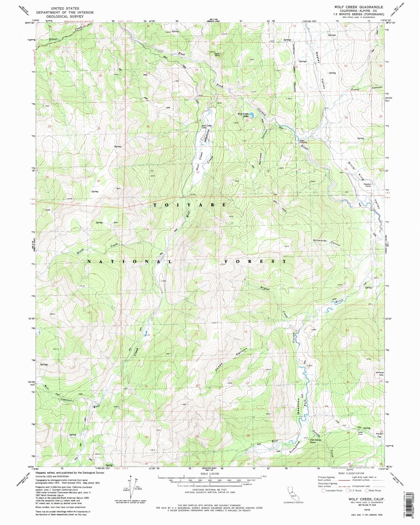
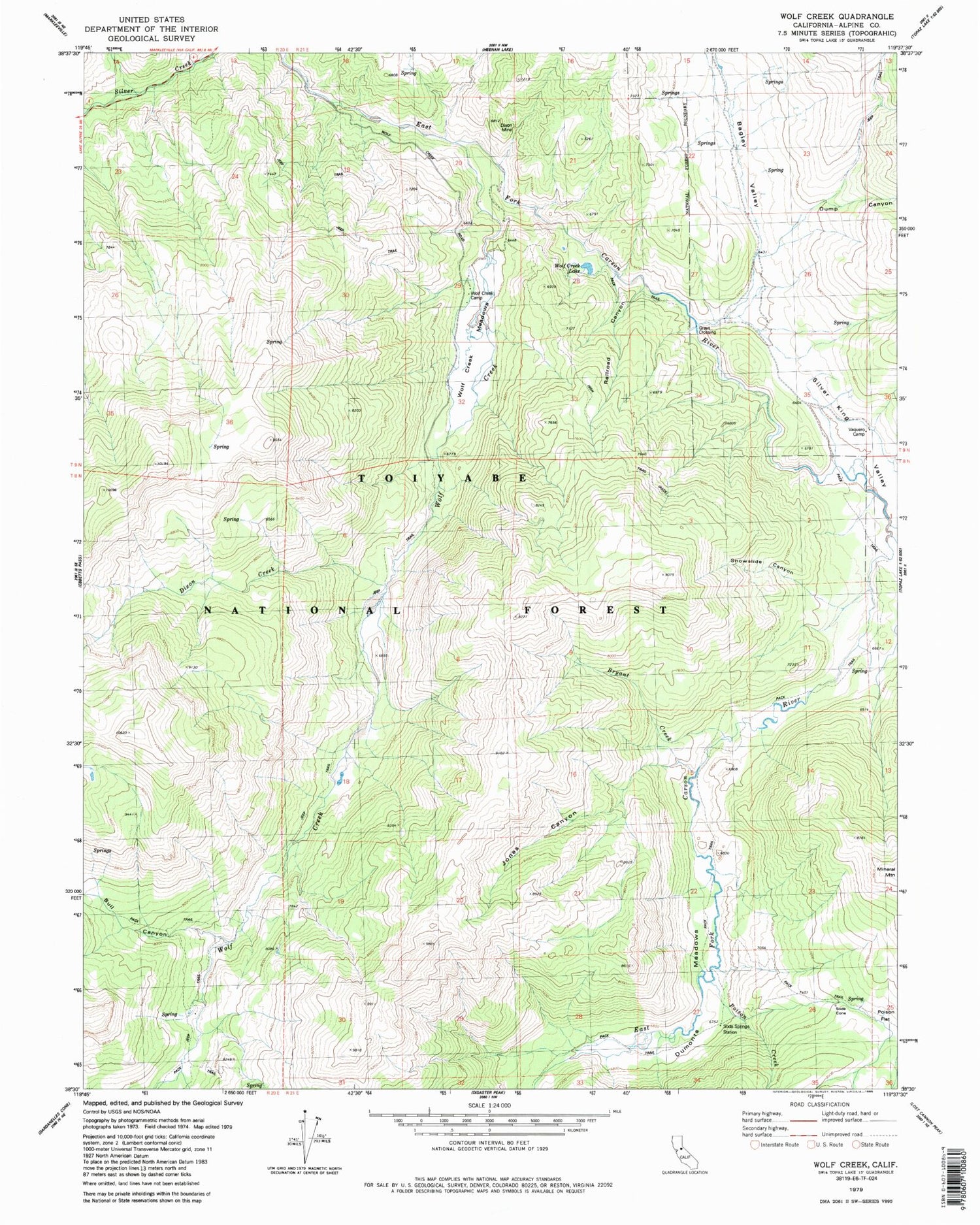
Classic USGS Wolf Creek California 7.5'x7.5' Topo Map
Couldn't load pickup availability
Historical USGS topographic quad map of Wolf Creek in the state of California. Typical map scale is 1:24,000, but may vary for certain years, if available. Print size: 24" x 27"
This quadrangle is in the following counties: Alpine.
The map contains contour lines, roads, rivers, towns, and lakes. Printed on high-quality waterproof paper with UV fade-resistant inks, and shipped rolled.
Contains the following named places: Bagley Valley, Bryant Creek, Bull Canyon, Dixon Creek, Dumonts Meadows, Dump Canyon, Jones Canyon, Poison Creek, Railroad Canyon, Silver King Creek, Poison Flat, Silver King Valley, Snowslide Canyon, Vaquero Camp, Wolf Creek, Wolf Creek Lake, Wolf Creek Meadow, Mineral Mountain, Vaquero Camp, Wolf Creek Campground, Soda Springs Station, Grays Crossing, Soda Cone, Merrill Borrow Pit


