MyTopo
Classic USGS Wolf Peak Oregon 7.5'x7.5' Topo Map
Couldn't load pickup availability
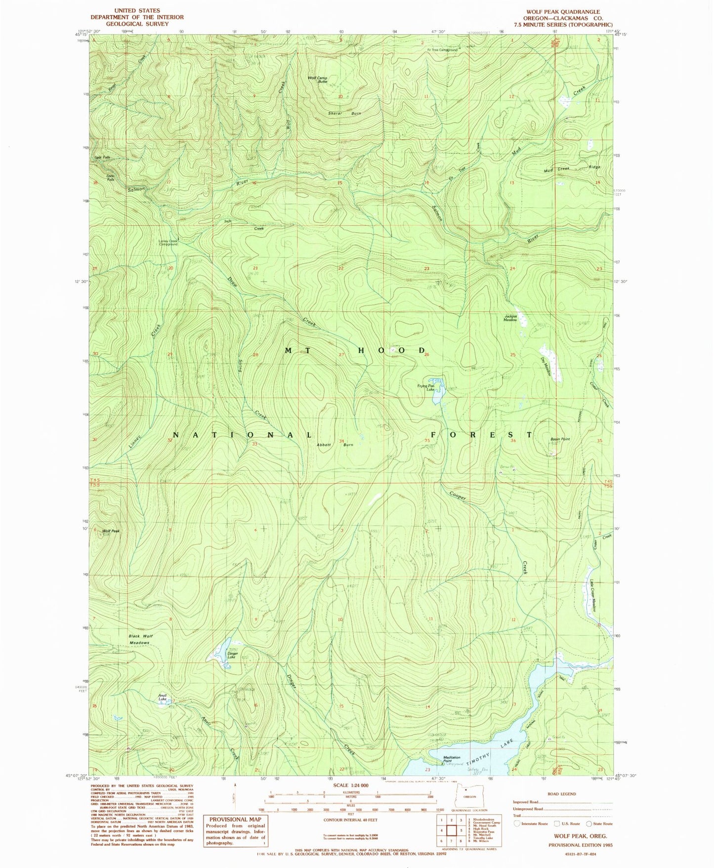
Historical USGS topographic quad map of Wolf Peak in the state of Oregon. Typical map scale is 1:24,000, but may vary for certain years, if available. Print size: 24" x 27"
This quadrangle is in the following counties: Clackamas.
The map contains contour lines, roads, rivers, towns, and lakes. Printed on high-quality waterproof paper with UV fade-resistant inks, and shipped rolled.
Contains the following named places: Abbott Burn, Anvil Lake, Meditation Point, Basin Point, Black Wolf Meadows, Buck Creek Trail, Cooper Creek, Crater Creek, Dinger Creek Trail, Dinger Lake, Draw Creek, Dry Meadow, Fir Tree Creek, Fir Tree Campground (historical), Frying Pan Lake, Inch Creek, Jackpot Meadow, Linney Creek, Mud Creek, Sherar Burn, String Creek, Wolf Camp Butte, Wolf Creek, Wolf Peak, Little Crater Lake, Linney Creek Recreation Site (historical), Meditation Point Recreation Site, Split Falls, Stein Falls, Little Crater Lake Geological Area, North Arm Recreation Site, Frying Pan Quarry, Basin Point Quarry, Buck Lake Gravel Pit


