MyTopo
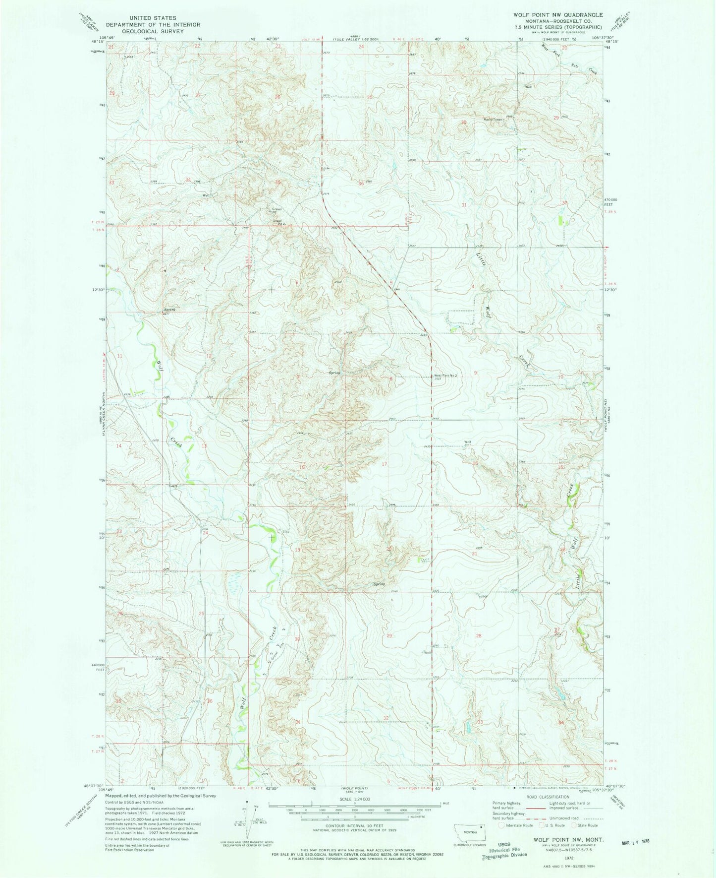
Classic USGS Wolf Point NW Montana 7.5'x7.5' Topo Map
Couldn't load pickup availability
Historical USGS topographic quad map of Wolf Point NW in the state of Montana. Map scale may vary for some years, but is generally around 1:24,000. Print size is approximately 24" x 27"
This quadrangle is in the following counties: Roosevelt.
The map contains contour lines, roads, rivers, towns, and lakes. Printed on high-quality waterproof paper with UV fade-resistant inks, and shipped rolled.
Contains the following named places: 28N46E01CBBA02 Spring, 28N46E01CCCC01 Spring, 28N46E11DDCC01 Well, 28N46E12BDAA01 Well, 28N47E07ADDD01 Spring, 28N47E16BDAB01 Well, 28N47E20CDCB01 Spring, 28N47E20DADB01 Well, 28N47E20DADB02 Well, 28N47E28ABBB01 Well, 28N47E33CBCA01 Well, 29N46E28ABAA01 Well, 29N46E34DBDA01 Well, 29N47E29BBCA01 Well, 29N47E29CCCA02 Well, 29N47E30DBBB01 Well, 29N47E31DBBD01 Well, 29N47E32BCAC01 Well, 59201, Anderson School, KTYZ-FM (Wolf Point), Long View School, Star School