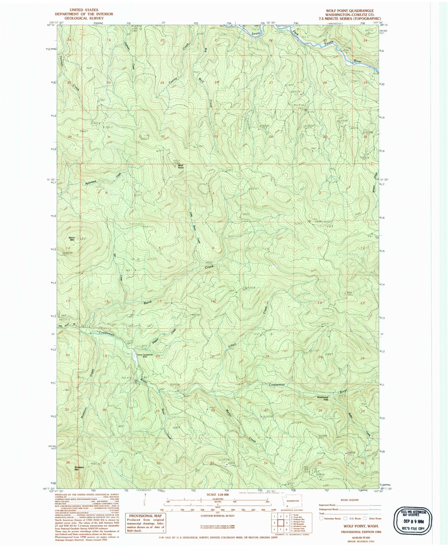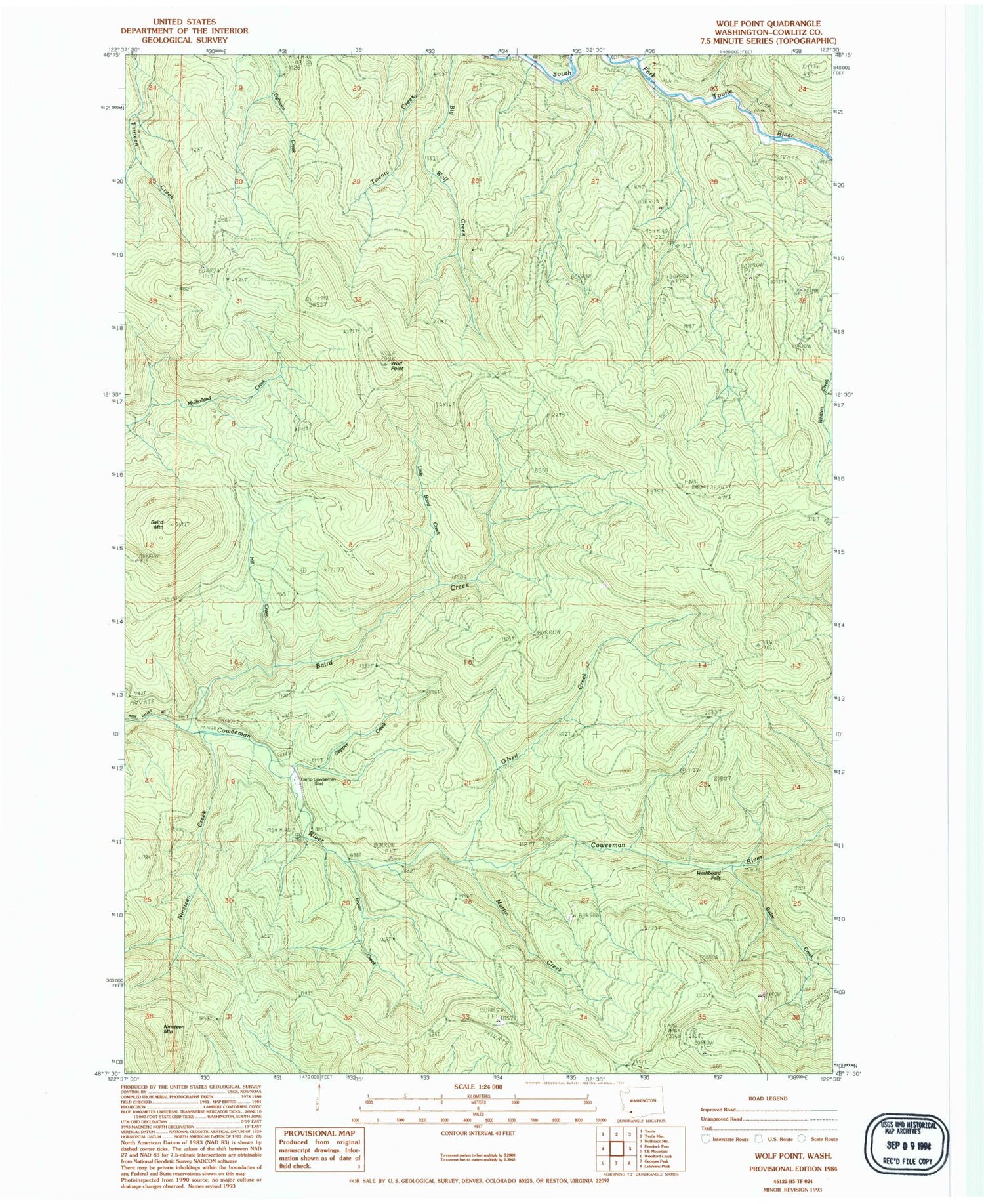
MyTopo
Classic USGS Wolf Point Washington 7.5'x7.5' Topo Map
Regular price
$16.95
Regular price
Sale price
$16.95
Unit price
per
Couldn't load pickup availability
Historical USGS topographic quad map of Wolf Point in the state of Washington. Map scale may vary for some years, but is generally around 1:24,000. Print size is approximately 24" x 27"
This quadrangle is in the following counties: Cowlitz.
The map contains contour lines, roads, rivers, towns, and lakes. Printed on high-quality waterproof paper with UV fade-resistant inks, and shipped rolled.
Contains the following named places: Baird Creek, Baird Mountain, Brown Creek, Butler Creek, Camp Coweeman, Coweeman Ranger Station, Hill Creek, Little Baird Creek, Martin Creek, Nineteen Creek, Nineteen Mountain, O'Neil Creek, O'Neil Peak, Skipper Creek, Washboard Falls, Wolf Point