MyTopo
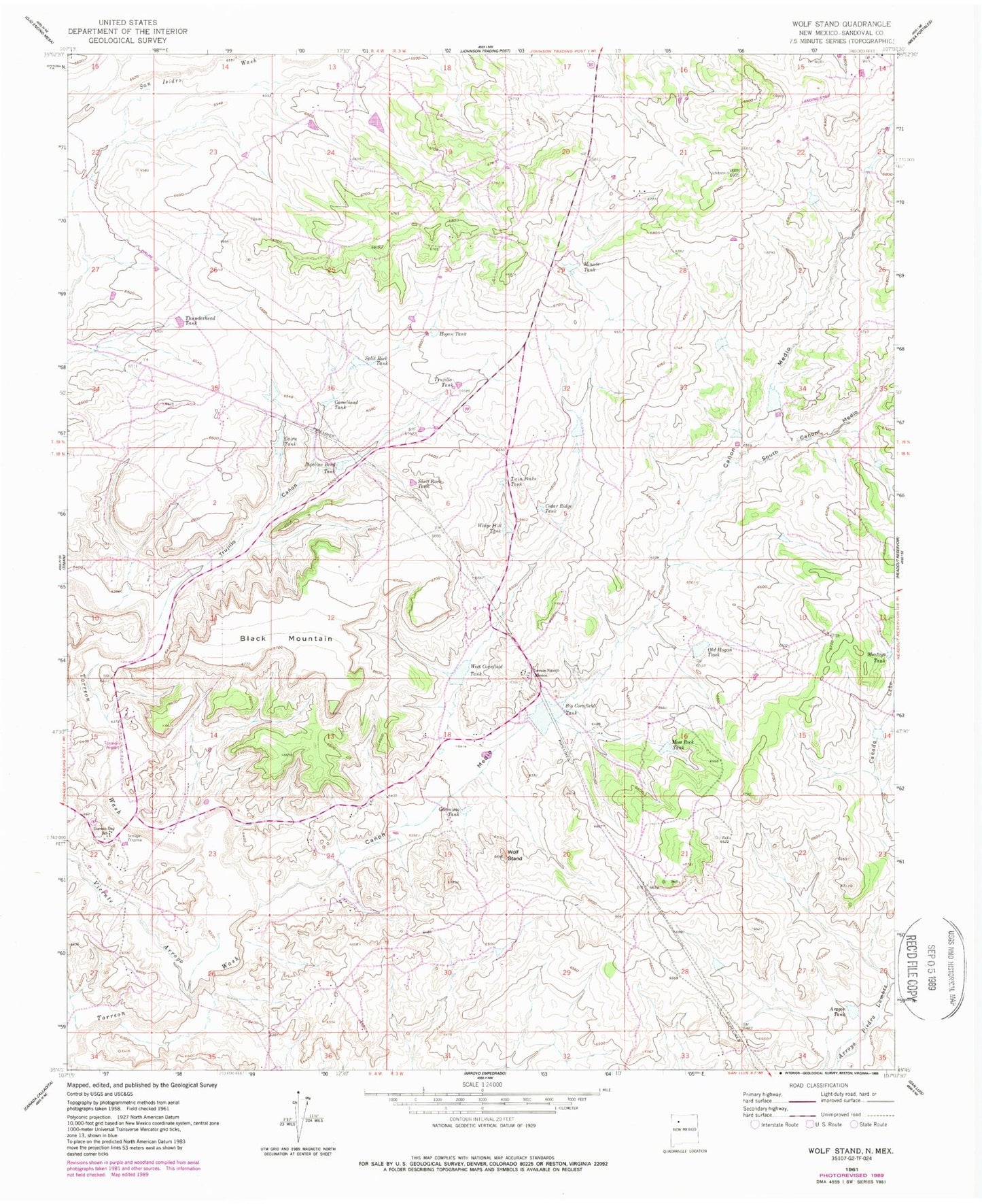
Classic USGS Wolf Stand New Mexico 7.5'x7.5' Topo Map
Couldn't load pickup availability
Historical USGS topographic quad map of Wolf Stand in the state of New Mexico. Map scale may vary for some years, but is generally around 1:24,000. Print size is approximately 24" x 27"
This quadrangle is in the following counties: Sandoval.
The map contains contour lines, roads, rivers, towns, and lakes. Printed on high-quality waterproof paper with UV fade-resistant inks, and shipped rolled.
Contains the following named places: Arogon Tank, Big Cornfield Tank, Black Mountain, Cairn Tank, Camelhead Tank, Canon Medio, Cedar Ridge Tank, Cuba Division, Geronimo Tank, Hogan Tank, Minute Tank, Montoya Tank, Moss Rock Tank, Old Hogan Tank, Piedra Lumbre Detention Dam Number Six, Pipeline Bend Dam, Pipeline Bend Tank, R-63 Water Well, Shelf Rock Tank, South Canon Medio, Split Rock Tank, Thunderhead Tank, Torreon, Torreon Airport, Torreon Census Designated Place, Torreon Day School, Torreon Fire Department, Torreon Mission, Torreon Navajo Mission, Trujillo Canon, Trujillo Tank, Twin Peaks Tank, Vicente Arroyo, Wedge Hill Tank, West Cornfield Tank, Wolf Stand