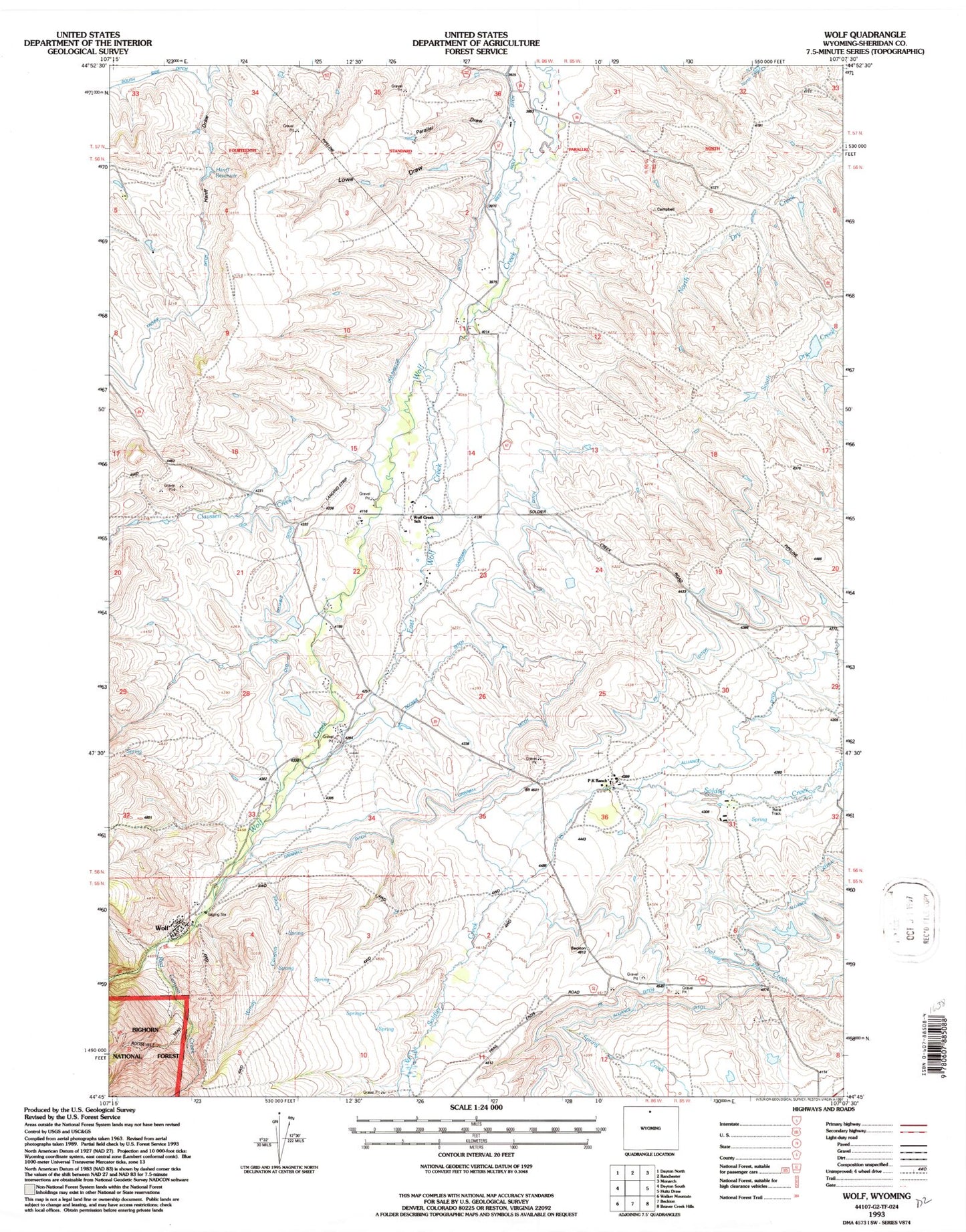
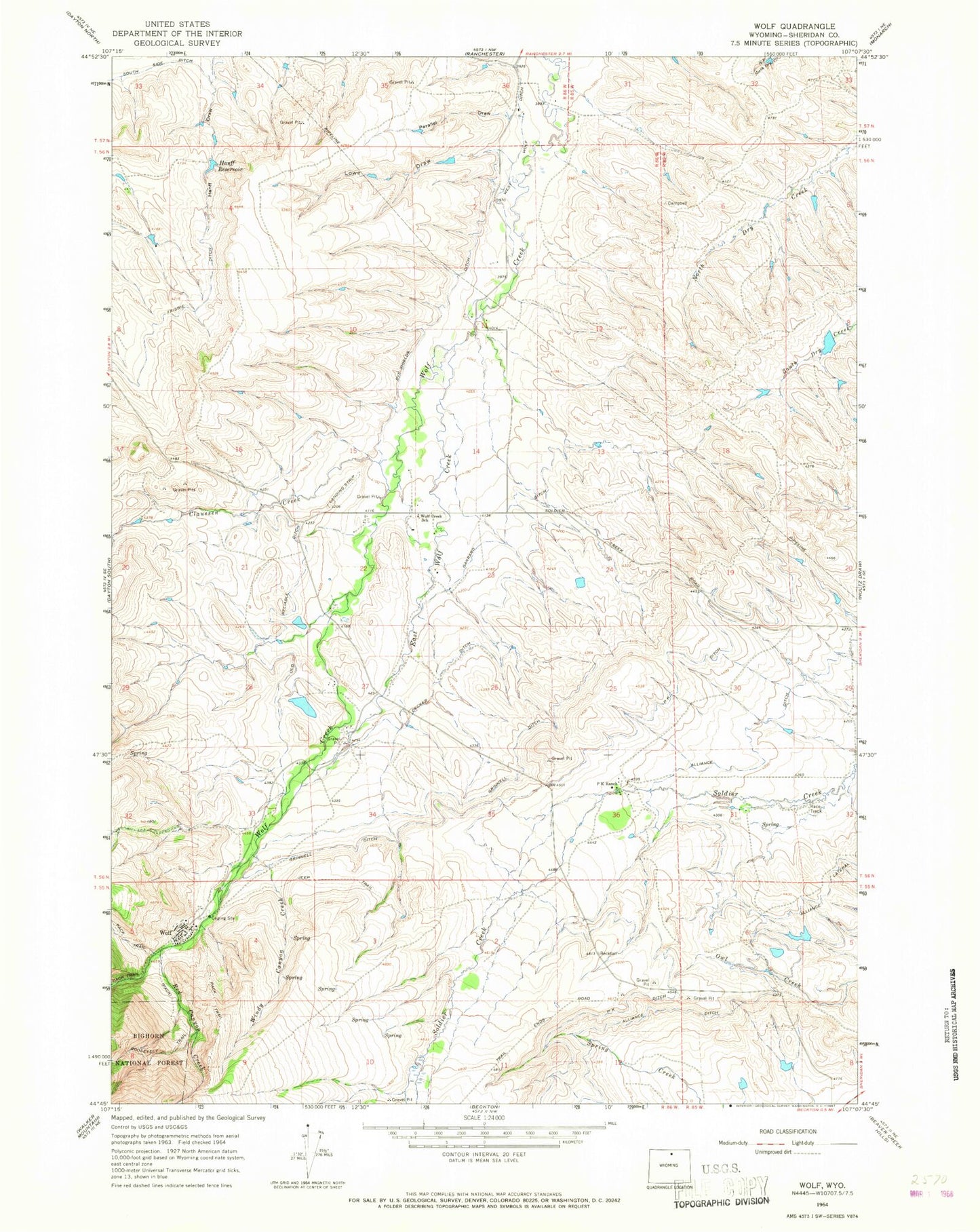
MyTopo
Classic USGS Wolf Wyoming 7.5'x7.5' Topo Map
Couldn't load pickup availability
Historical USGS topographic quad map of Wolf in the state of Wyoming. Map scale may vary for some years, but is generally around 1:24,000. Print size is approximately 24" x 27"
This quadrangle is in the following counties: Sheridan.
The map contains contour lines, roads, rivers, towns, and lakes. Printed on high-quality waterproof paper with UV fade-resistant inks, and shipped rolled.
Contains the following named places: Alliance Ditch, Claussen Creek, Decker Ditch, Dye-Shields Ditch, East Wolf Creek, Garrard Ditch, Grinnell Ditch, Hanff Reservoir, J and H Ranch Number 1 Dam, J and H Ranch Number 1 Reservoir, Lowe Draw, Old Reliable Ditch, P K Ditch, P K Ranch, Parallel Draw, Red Canyon Creek, Roberts Dam, Roberts Reservoir, West Wolf Ditch, Windy Canyon Creek, Wolf, Wolf Creek School, ZIP Code: 82844