MyTopo
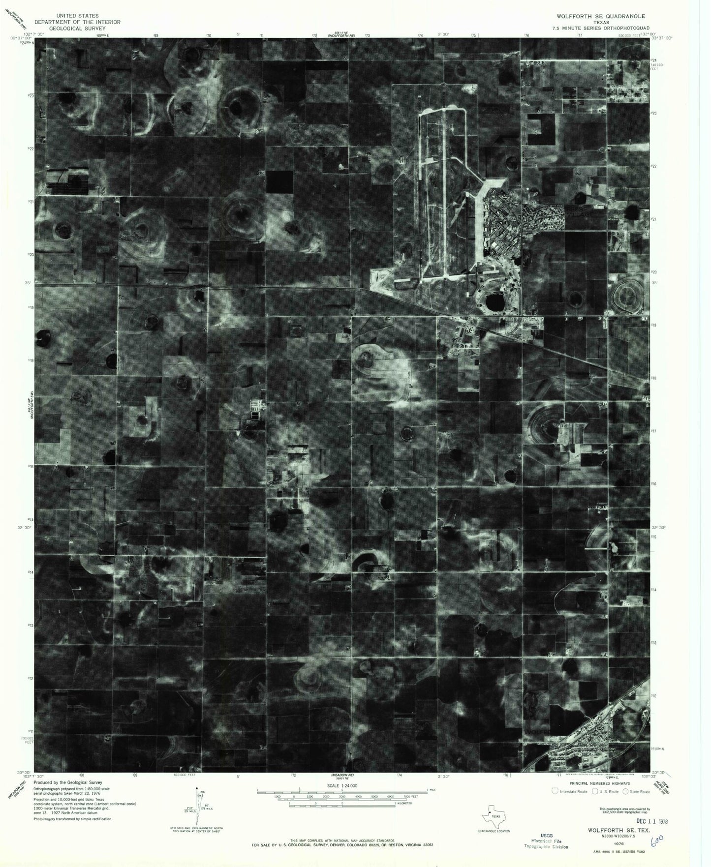
Classic USGS Wolfforth Texas 7.5'x7.5' Topo Map
Couldn't load pickup availability
Historical USGS topographic quad map of Wolfforth in the state of Texas. Map scale may vary for some years, but is generally around 1:24,000. Print size is approximately 24" x 27"
This quadrangle is in the following counties: Hockley, Lubbock.
The map contains contour lines, roads, rivers, towns, and lakes. Printed on high-quality waterproof paper with UV fade-resistant inks, and shipped rolled.
Contains the following named places: Bradford School, Casey Elementary School, City of Wolfforth, Frenship Independent School District Police Department, Hurlwood, Hurlwood Baptist Church, Lubbock Army Air Field, Lubbock Army Flying School, Lubbock Police Academy, Reese Air Force Base, Reese Airpark, Reese Center Census Designated Place, Reese Educational Center, Reese Village, West Carlisle Volunteer Fire Department and EMS, Wolfforth, Wolfforth Cemetery, Wolfforth City Hall, Wolfforth Fire and EMS Department, Wolfforth Police Department, Wolfforth Post Office, ZIP Code: 79407