
MyTopo
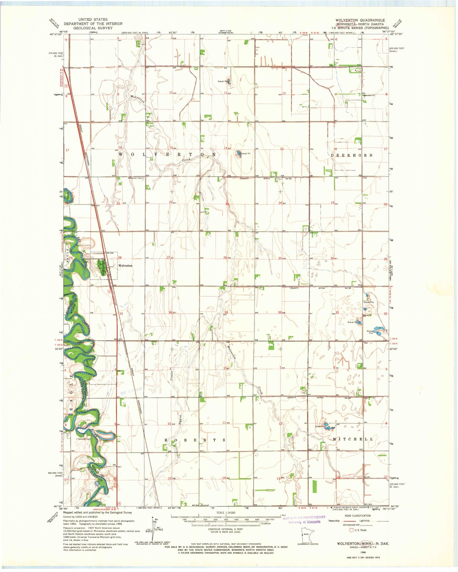
Classic USGS Wolverton Minnesota 7.5'x7.5' Topo Map
Couldn't load pickup availability
Historical USGS topographic quad map of Wolverton in the states of Minnesota, North Dakota. Map scale may vary for some years, but is generally around 1:24,000. Print size is approximately 24" x 27"
This quadrangle is in the following counties: Richland, Wilkin.
The map contains contour lines, roads, rivers, towns, and lakes. Printed on high-quality waterproof paper with UV fade-resistant inks, and shipped rolled.
Contains the following named places: City of Wolverton, County Ditch Number Five A, County Ditch Number Twentysix, Deerhorn Church, Evangelical Free Church, Faith Lutheran Church, KLTA-FM (Breckenridge), Nyqist Coulee, Schmitt Cemetery, Township of Roberts, Township of Wolverton, Wolverton, Wolverton Cemetery, Wolverton Fire Department, Wolverton Post Office, ZIP Code: 56594


