MyTopo
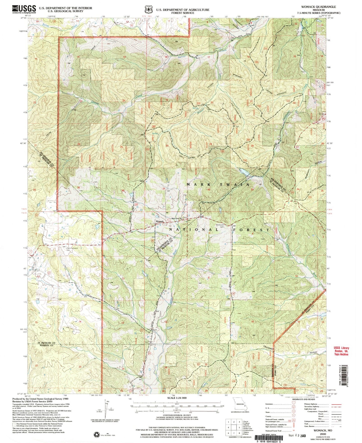
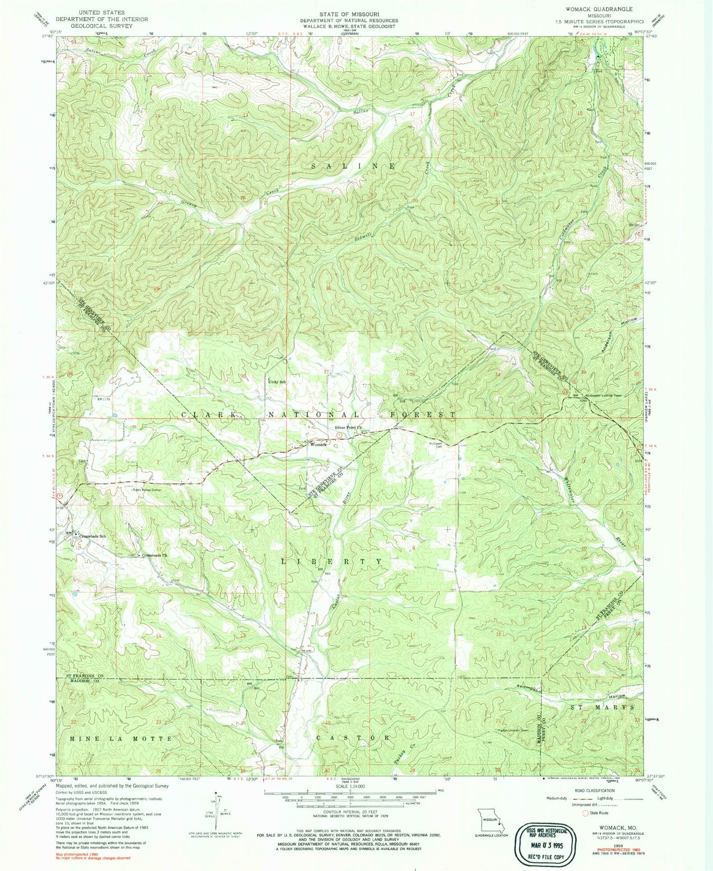
Classic USGS Womack Missouri 7.5'x7.5' Topo Map
Couldn't load pickup availability
Historical USGS topographic quad map of Womack in the state of Missouri. Map scale may vary for some years, but is generally around 1:24,000. Print size is approximately 24" x 27"
This quadrangle is in the following counties: Madison, Perry, St. Francois, Ste. Genevieve.
The map contains contour lines, roads, rivers, towns, and lakes. Printed on high-quality waterproof paper with UV fade-resistant inks, and shipped rolled.
Contains the following named places: Bauman Lake Dam, Bethel Methodist Church, Bidwell Creek, Bidwell Hollow, Cross Roads, Crossroads Church, Crossroads School, Dalton Lake Dam, Downs School, Greasy Creek, Higdon Lookout Tower, John J Audubon Trail, Joseph Scott Airport, McDowell - Lenz Cemetery, Nations Mill, Opossum Hollow, Rockwood School, Silver Point Church, Sugar Camp Hollow, Unity School, Whitewater Lookout Tower, Womack, Womack School