MyTopo
Classic USGS Woman Lake Minnesota 7.5'x7.5' Topo Map
Couldn't load pickup availability
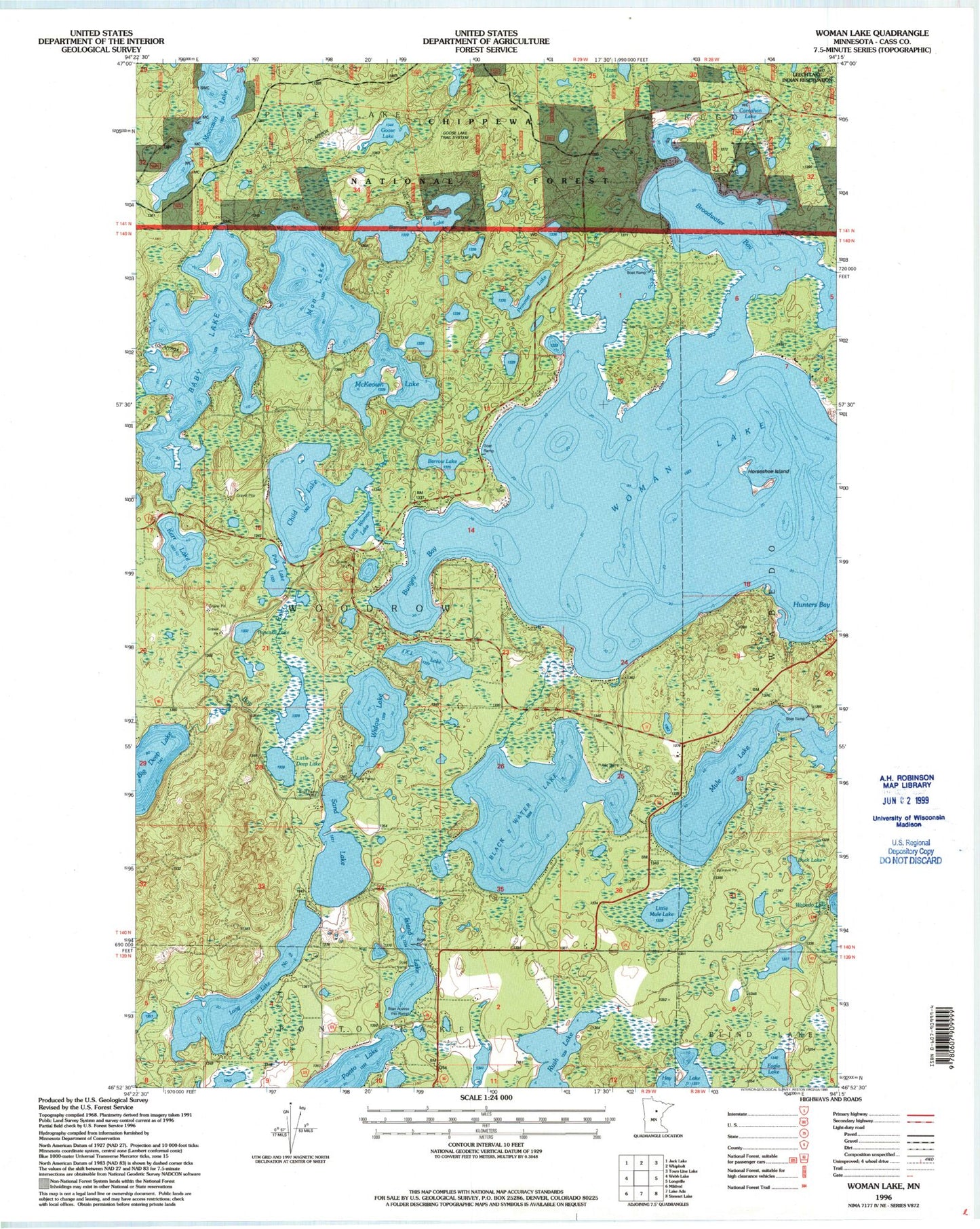
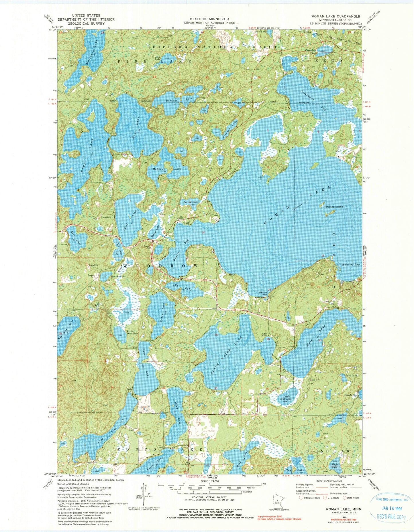
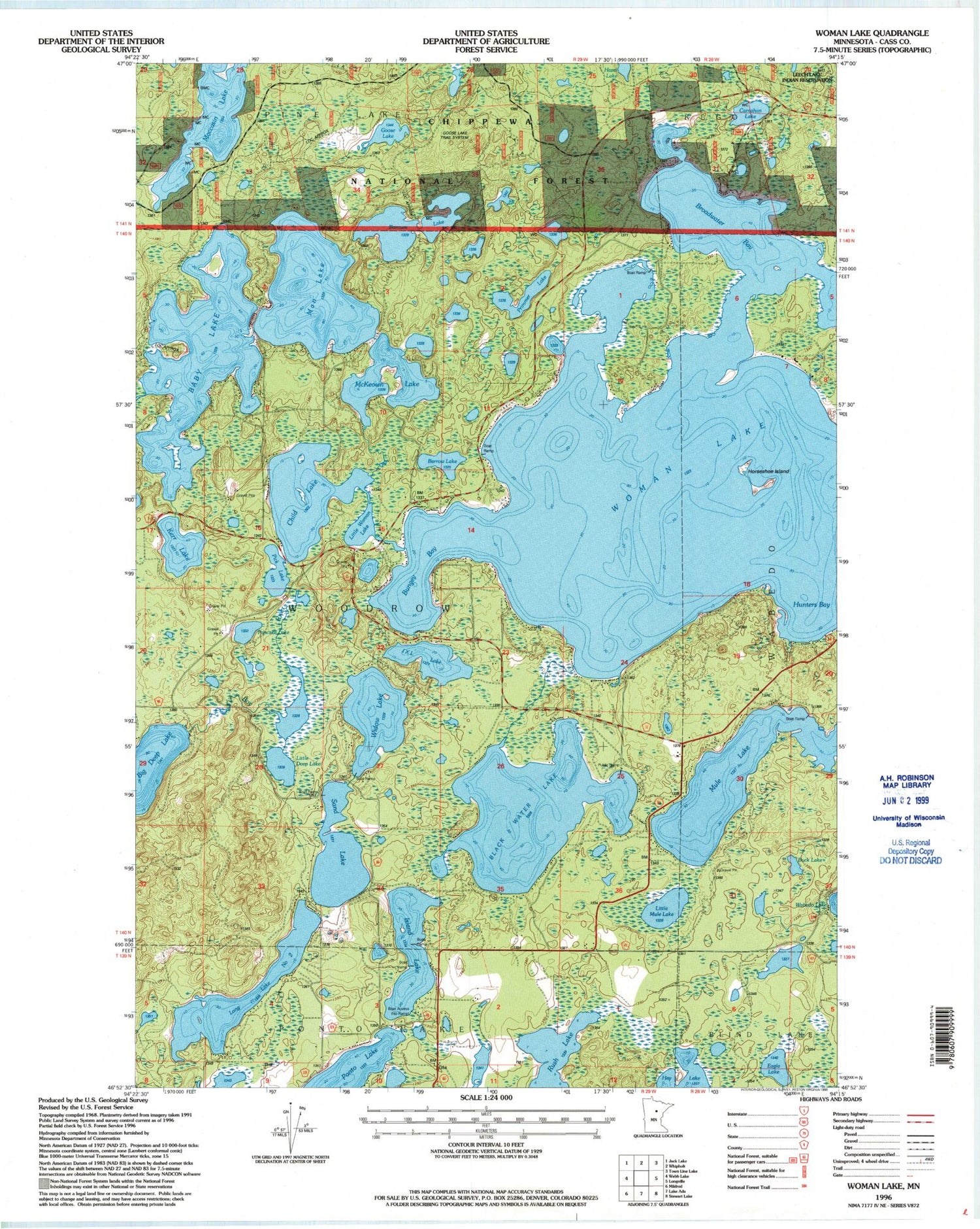
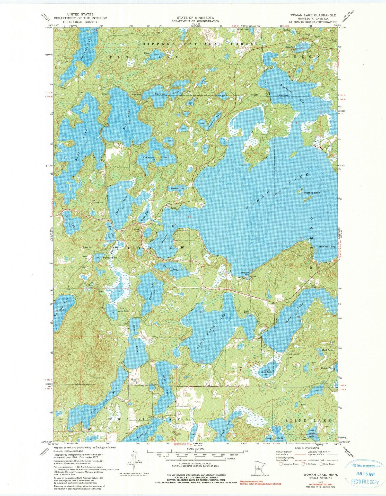
Historical USGS topographic quad map of Woman Lake in the state of Minnesota. Typical map scale is 1:24,000, but may vary for certain years, if available. Print size: 24" x 27"
This quadrangle is in the following counties: Cass.
The map contains contour lines, roads, rivers, towns, and lakes. Printed on high-quality waterproof paper with UV fade-resistant inks, and shipped rolled.
Contains the following named places: Baby Lake, Barnum Lake, Barrow Lake, Black Water Lake, Broadwater Bay, Buck Lake, Bungey Bay, Carnahan Lake, Child Lake, Eagle Lake, Goose Lake, Horseshoe Island, Hunters Bay, I X L Lake, Island Lake, Kerr Lake, Little Deep Lake, Little Mule Lake, Long Lake Number Two, Man Lake, McKeown Lake, Moccasin Lake, Mule Lake, Pancake Lake, Pick Lake, Primmer Lake, Rush Lake, Sand Lake, Little Woman Lake, Widow Lake, Woman Lake, Goose Lake Trail System, Cass County, Township of Woodrow, Blackwater Lake Dam, Blackwater Lake


