MyTopo
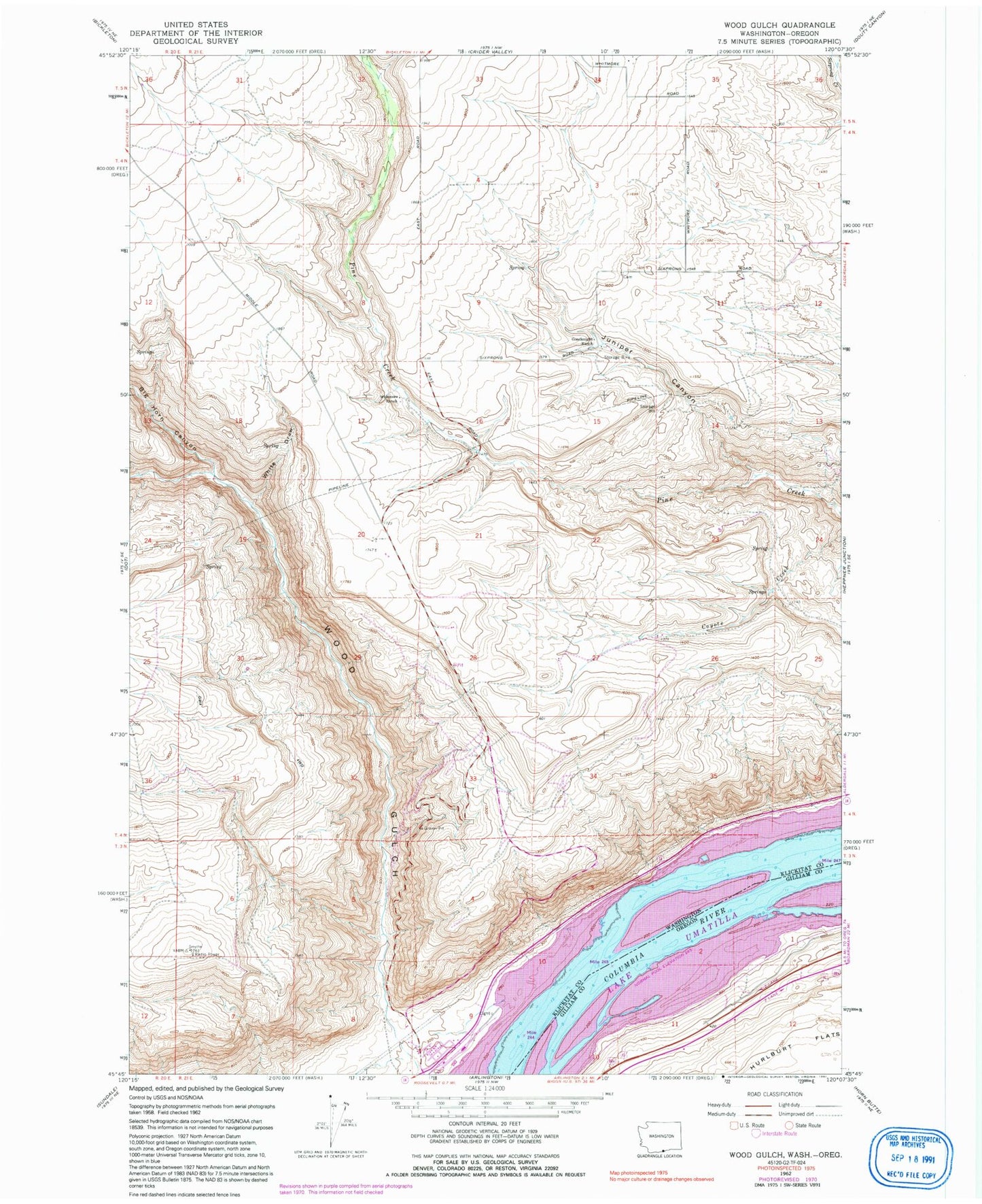
Classic USGS Wood Gulch Washington 7.5'x7.5' Topo Map
Regular price
$16.95
Regular price
Sale price
$16.95
Unit price
per
Couldn't load pickup availability
Historical USGS topographic quad map of Wood Gulch in the states of Washington, Oregon. Map scale may vary for some years, but is generally around 1:24,000. Print size is approximately 24" x 27"
This quadrangle is in the following counties: Gilliam, Klickitat.
The map contains contour lines, roads, rivers, towns, and lakes. Printed on high-quality waterproof paper with UV fade-resistant inks, and shipped rolled.
Contains the following named places: Big Horn Canyon, Goodknight Ranch, Haulwater, Juniper Canyon, Moonay Treaty Fishing Access Site, Silica, White Draw, Whitmore Ranch, Wood Creek, Wood Gulch