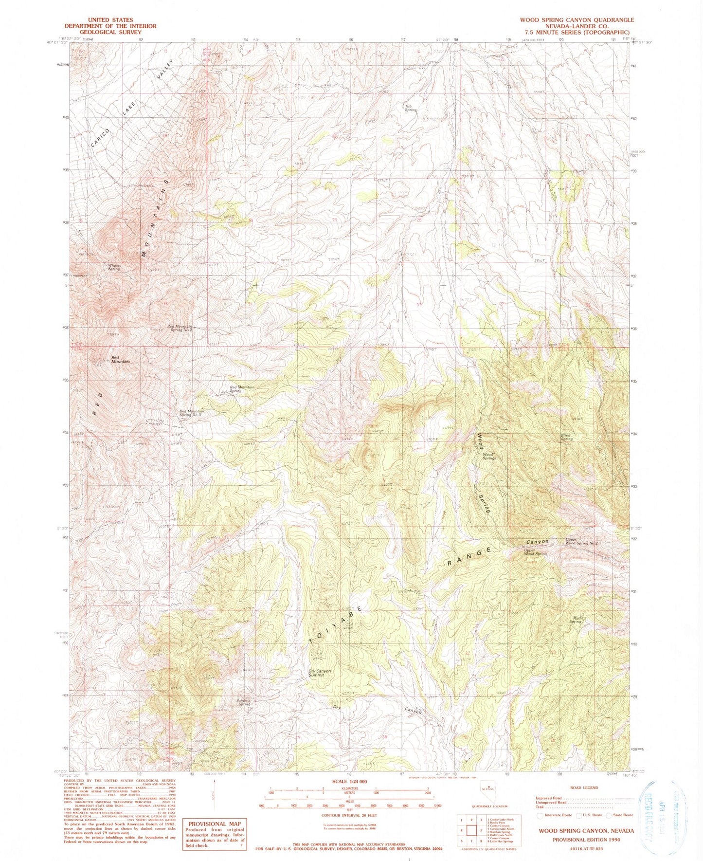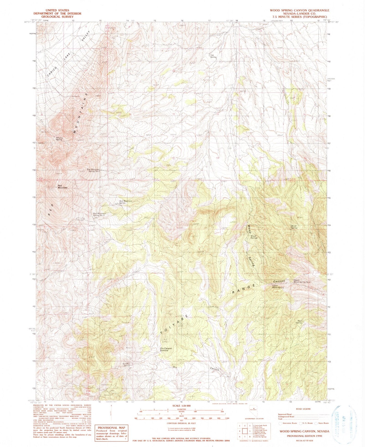
MyTopo
Classic USGS Wood Spring Canyon Nevada 7.5'x7.5' Topo Map
Couldn't load pickup availability
Historical USGS topographic quad map of Wood Spring Canyon in the state of Nevada. Map scale may vary for some years, but is generally around 1:24,000. Print size is approximately 24" x 27"
This quadrangle is in the following counties: Lander.
The map contains contour lines, roads, rivers, towns, and lakes. Printed on high-quality waterproof paper with UV fade-resistant inks, and shipped rolled.
Contains the following named places: Blind Spring, Dry Canyon Summit, Goyeneche Spring, Mud Spring, Red Mountain, Red Mountain Spring, Red Mountain Spring Number Four, Red Mountain Spring Number Three, Red Mountain Spring Number Two, Summit Spring, Tub Spring, Upper Wood Spring, Upper Wood Spring Number Two, Wholey Spring, Wood Spring Canyon, Wood Springs