MyTopo
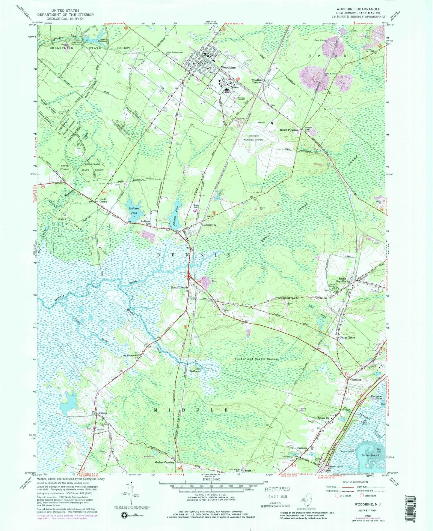
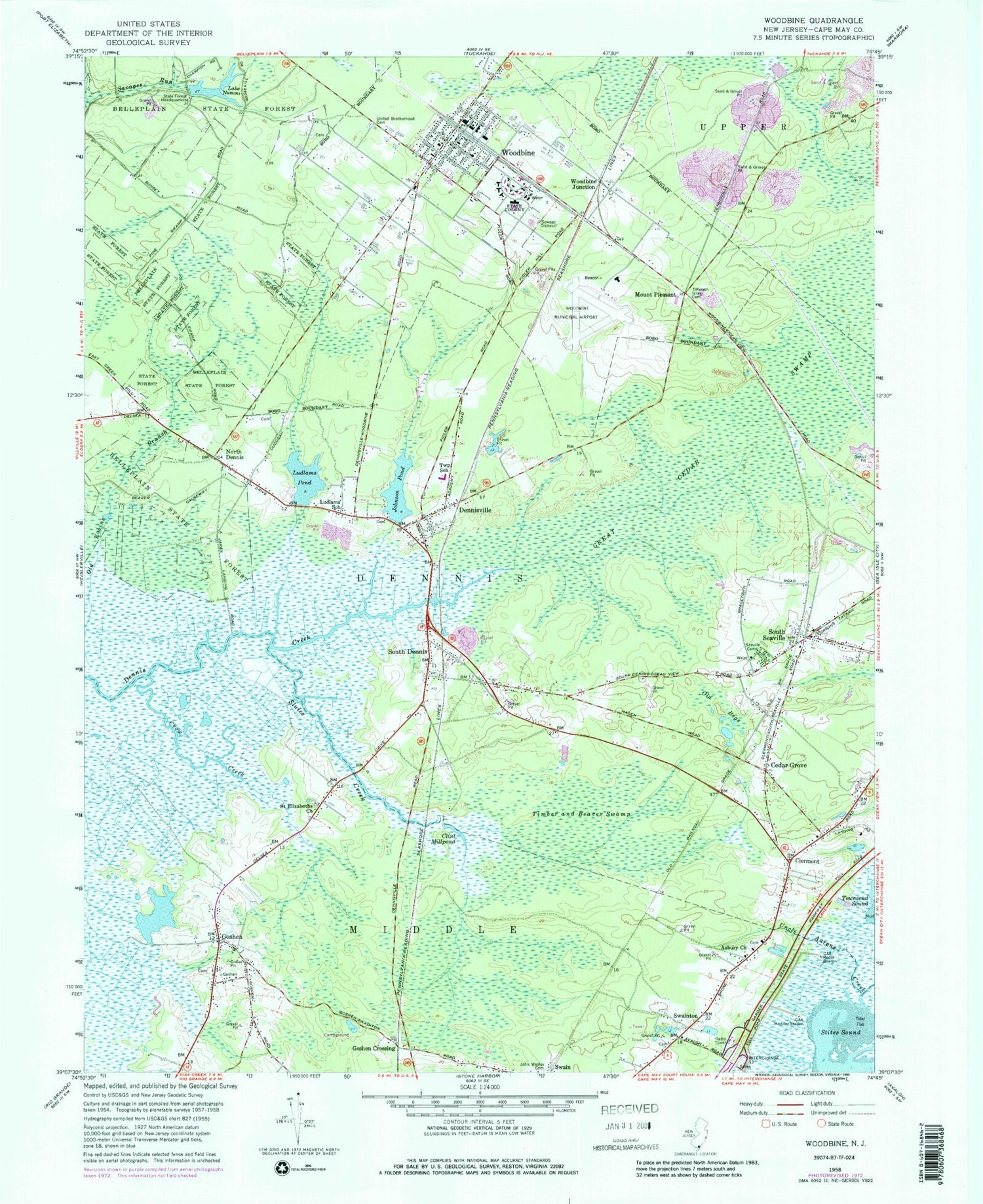
Classic USGS Woodbine New Jersey 7.5'x7.5' Topo Map
Couldn't load pickup availability
Historical USGS topographic quad map of Woodbine in the state of New Jersey. Map scale may vary for some years, but is generally around 1:24,000. Print size is approximately 24" x 27"
This quadrangle is in the following counties: Cape May.
The map contains contour lines, roads, rivers, towns, and lakes. Printed on high-quality waterproof paper with UV fade-resistant inks, and shipped rolled.
Contains the following named places: Asbury Church, Beaver Swamp Fish and Wildlife Management Area, Bishop McHugh Regional Catholic School, Borough of Woodbine, Cedar Grove, Clermont, Clint Millpond, Crow Creek, Dennis Creek Fish and Wildlife Management Area, Dennis Township Elementary School, Dennis Township Middle School, Dennis Township Volunteer Fire Company, Dennisville, Dennisville Census Designated Place, Dennisville Post Office, Goshen, Goshen Census Designated Place, Goshen Crossing, Goshen Landing, Goshen Methodist Cemetery, Goshen Volunteer Fire Company, Great Cedar Swamp, John Wesley Cemetery, Johnson Pond, Johnson Pond Dam, Lake Nummy, Ludlams Pond, Ludlams Pond Dam, Ludlams School, Mount Pleasant, New Jersey State Police Troop A Woodbine Station, North Dennis, Ocean View Volunteer Fire Company, Old Bogs, Saint Elizabeths Church, Seaville Camp, Sluice Creek, South Dennis, South Dennis Census Designated Place, South Dennis Post Office, South Seaville, South Seaville Census Designated Place, South Seaville Post Office, Stites Sound, Swain, Swainton, Tiffereth Israel Cemetery, Timber and Beaver Swamp, Township of Dennis, Uncle Aarons Creek, United Brotherhood Cemetery, WBNJ-FM (Cape May Court House), Woodbine, Woodbine Elementary School, Woodbine Junction, Woodbine Municipal Airport, Woodbine Post Office, Woodbine Volunteer Fire Company, WWOC-FM (Avalon), ZIP Code: 08246


