MyTopo
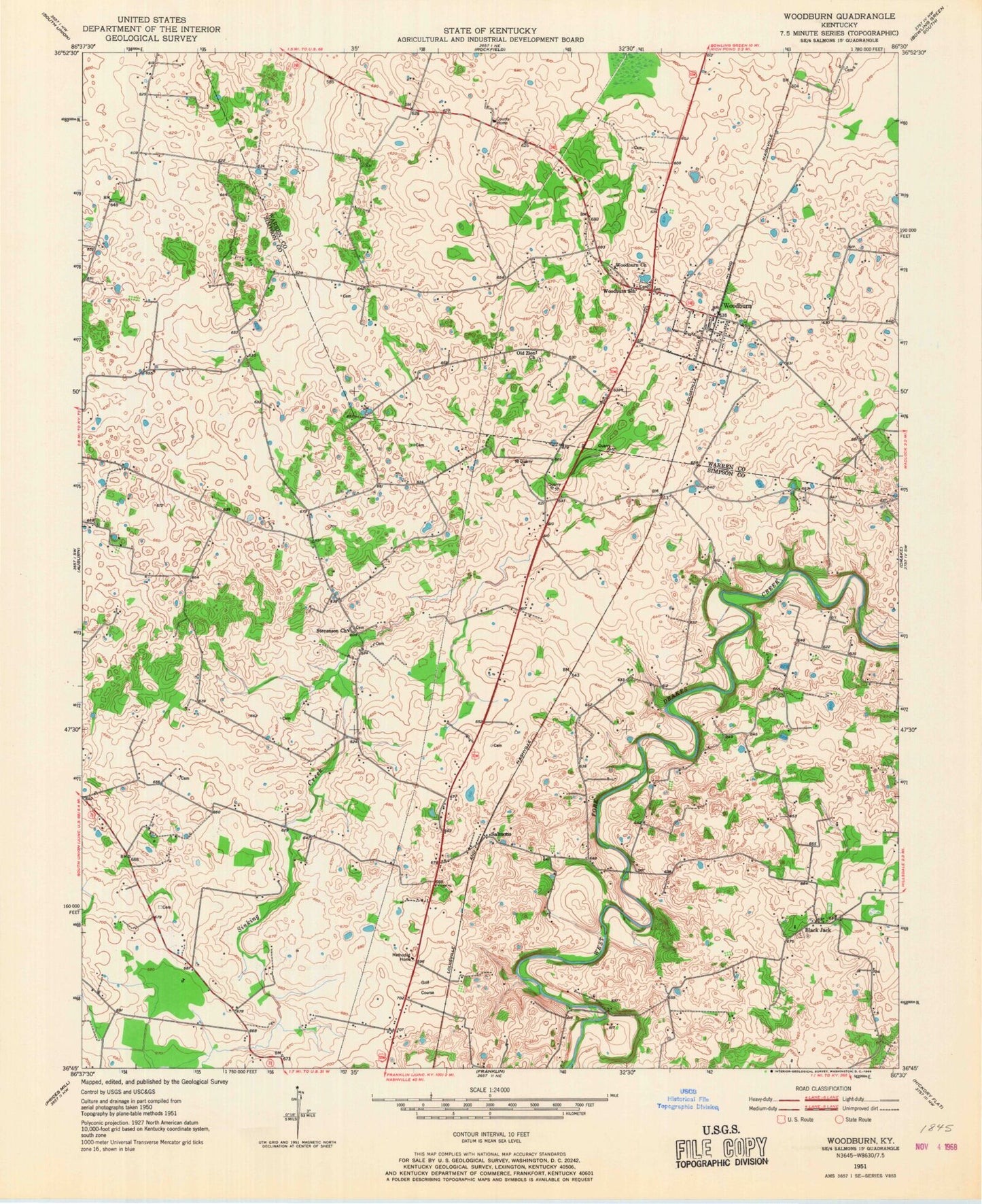
Classic USGS Woodburn Kentucky 7.5'x7.5' Topo Map
Couldn't load pickup availability
Historical USGS topographic quad map of Woodburn in the state of Kentucky. Map scale may vary for some years, but is generally around 1:24,000. Print size is approximately 24" x 27"
This quadrangle is in the following counties: Simpson, Warren.
The map contains contour lines, roads, rivers, towns, and lakes. Printed on high-quality waterproof paper with UV fade-resistant inks, and shipped rolled.
Contains the following named places: Arnemann Farms Airport, Black Jack, City of Woodburn, Oak Ridge, Old Zion, Old Zion Church, Paradise, Pilot Knob, Salmons, Sinking Creek, Stevenson, Stevenson Church, Sylvan, Woodburn, Woodburn Church, Woodburn Post Office, Woodburn School, Woodburn Volunteer Fire Department, ZIP Code: 42170