MyTopo
Classic USGS Woodbury Illinois 7.5'x7.5' Topo Map
Couldn't load pickup availability
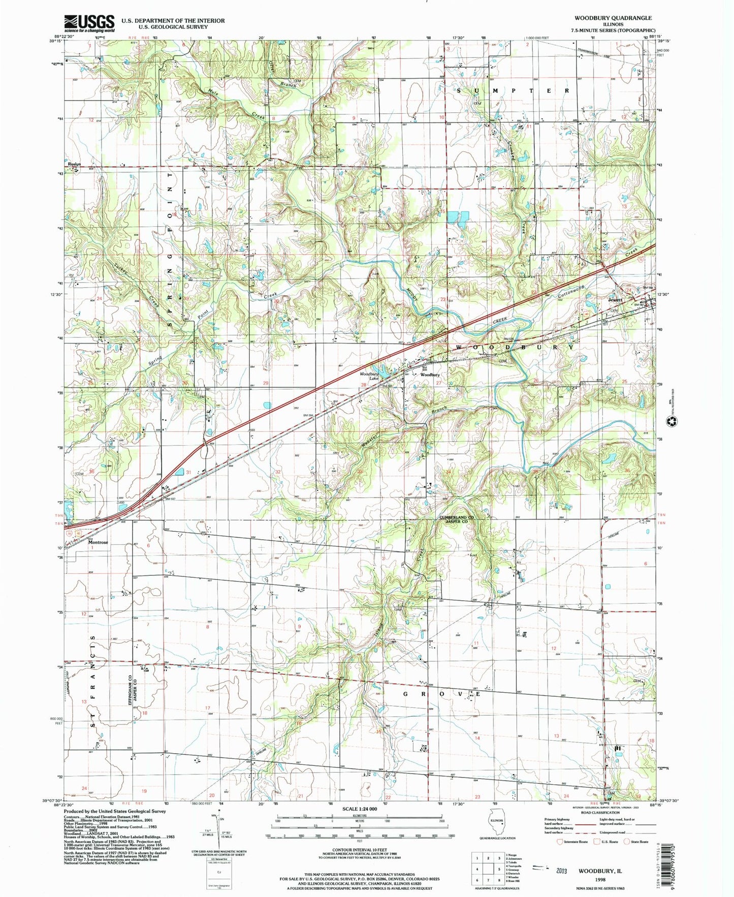
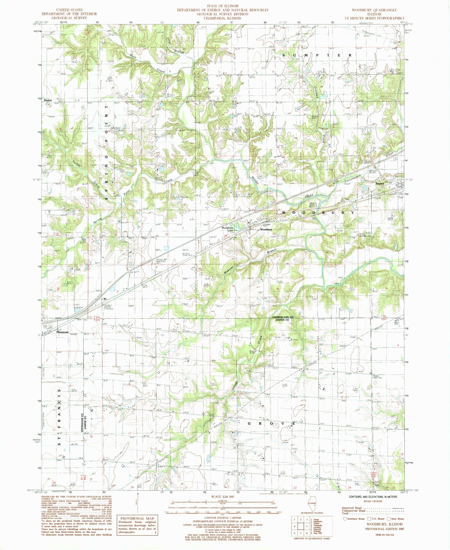
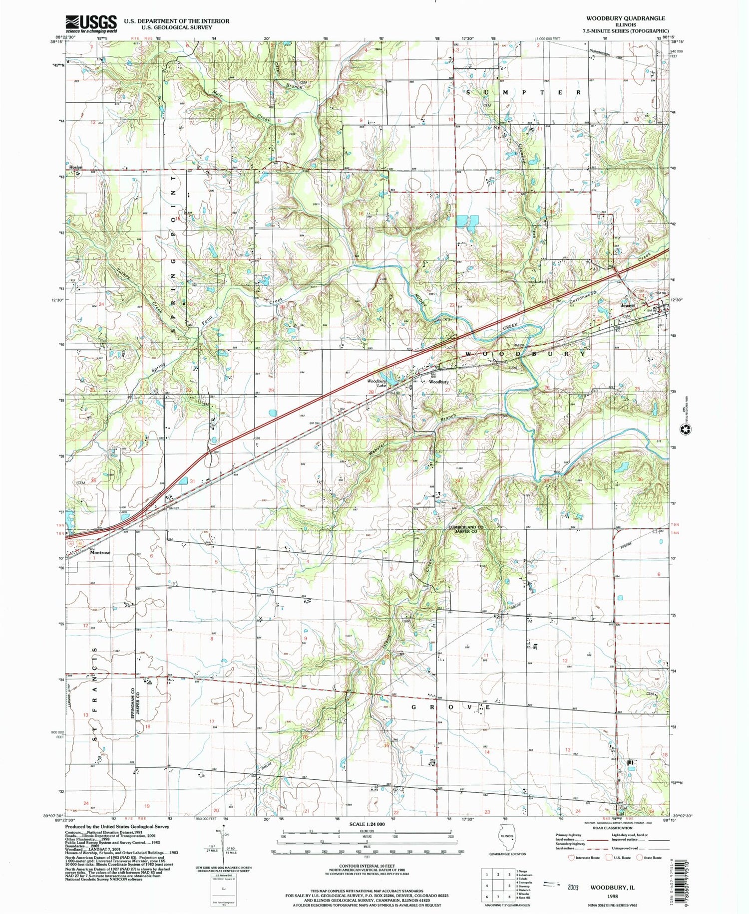
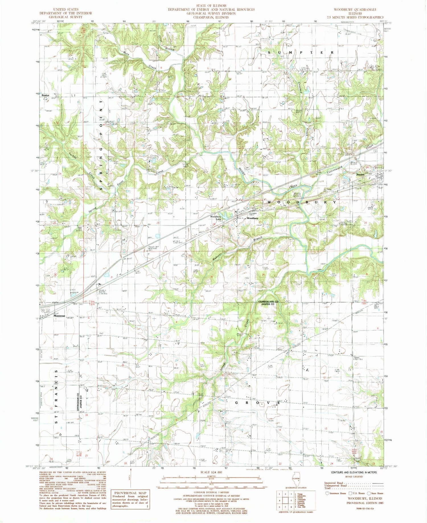
Historical USGS topographic quad map of Woodbury in the state of Illinois. Map scale may vary for some years, but is generally around 1:24,000. Print size is approximately 24" x 27"
This quadrangle is in the following counties: Cumberland, Effingham, Jasper.
The map contains contour lines, roads, rivers, towns, and lakes. Printed on high-quality waterproof paper with UV fade-resistant inks, and shipped rolled.
Contains the following named places: Aleshire School, Cottonwood Creek, Crooked Creek, Diel Cemetery, Elliott Cemetery, Farmer Cemetery, Harmon Chapel, Island Creek, Island Creek Cemetery, Jewett Cemetery, Kingery Cemetery, Montrose City Lake, Montrose City Lake Dam, Morton Chapel, Mule Creek, Mullen Cemetery, Mullen Church, Myer Cemetery, Nosbisch Farms, Otter Branch, Spring Point Creek, Township of Grove, Township of Woodbury, Turkey Creek, Webster Branch, Woodbury, Woodbury Lake, ZIP Codes: 62436, 62445