MyTopo
Classic USGS Woodhawk Hill Montana 7.5'x7.5' Topo Map
Regular price
$16.95
Regular price
Sale price
$16.95
Unit price
per
Couldn't load pickup availability
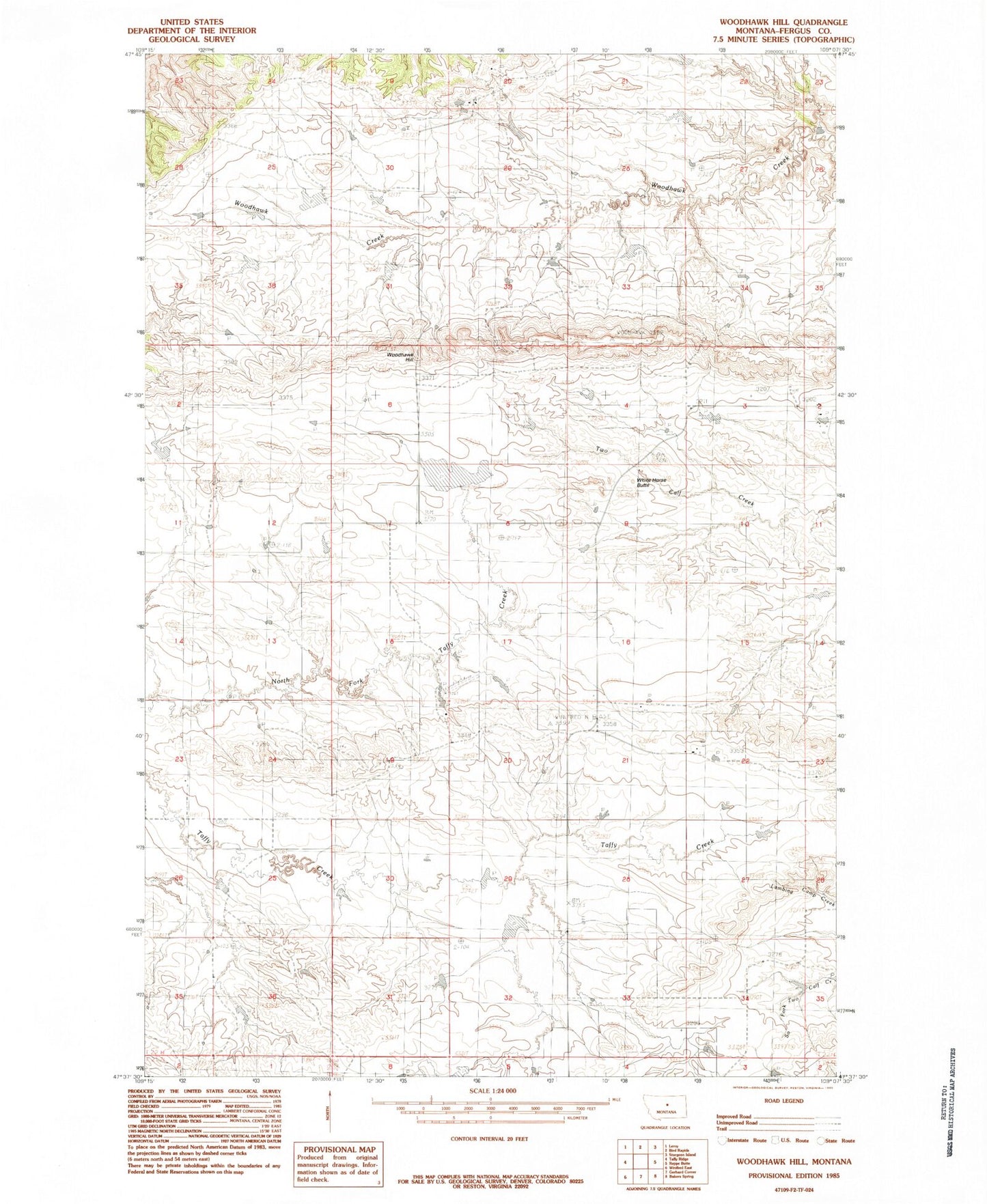
Historical USGS topographic quad map of Woodhawk Hill in the state of Montana. Map scale may vary for some years, but is generally around 1:24,000. Print size is approximately 24" x 27"
This quadrangle is in the following counties: Fergus.
The map contains contour lines, roads, rivers, towns, and lakes. Printed on high-quality waterproof paper with UV fade-resistant inks, and shipped rolled.
Contains the following named places: 21N21E19BCAC01 Well, 22N20E22BBBB01 Well, 22N20E22CABD01 Well, Farr View School, Ford Irrigation Dam, Hart Spring, Kermits Dam, Number Four School, Othar Number 2 Dam, White Horse Butte, Winifred Division, Wood Hawk School, Woodhawk, Woodhawk Hill