MyTopo
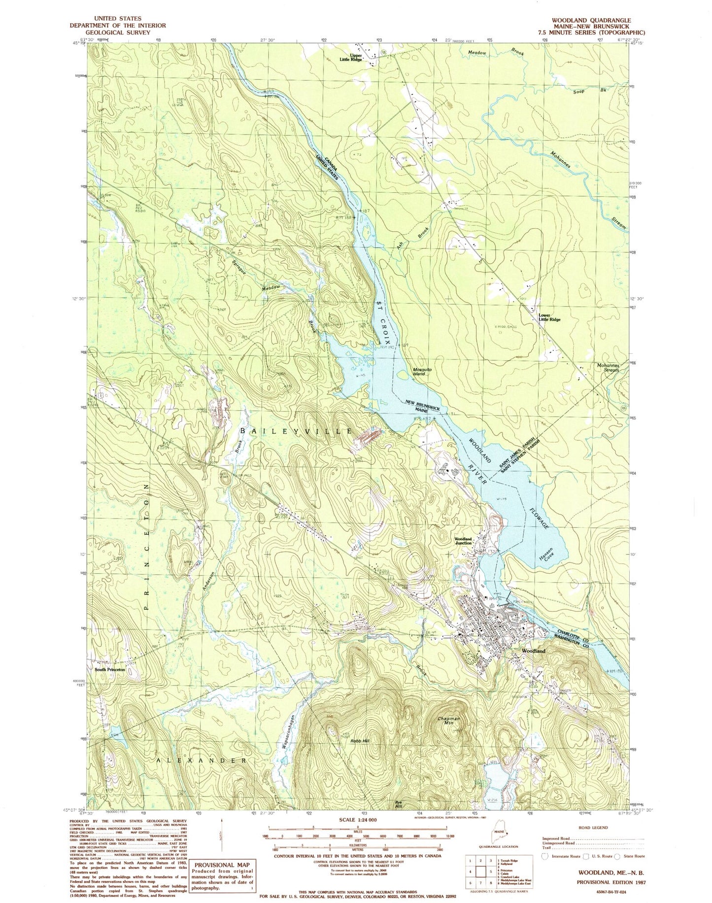
Classic USGS Woodland Maine 7.5'x7.5' Topo Map
Couldn't load pickup availability
Historical USGS topographic quad map of Woodland in the state of Maine. Map scale may vary for some years, but is generally around 1:24,000. Print size is approximately 24" x 27"
This quadrangle is in the following counties: Washington.
The map contains contour lines, roads, rivers, towns, and lakes. Printed on high-quality waterproof paper with UV fade-resistant inks, and shipped rolled.
Contains the following named places: Anderson Brook, Baileyville Fire Department, Baileyville Police Department, Baileyville Post Office, Baileyville Volunteer Ambulance Service, Chapman Mountain, Downeast Emergency Medical Services, Georgia-Pacific Corporation Heliport, Robb Hill, Saint Croix River Reservoir, Saint James Church, Sprague Meadow Brook, Town of Baileyville, Wapsaconhagan Brook, Woodland, Woodland Baptist Church, Woodland Census Designated Place, Woodland Dam, Woodland Elementary School, Woodland Flowage, Woodland Junction, Woodland Junior Senior High School, Woodland Public Library