
MyTopo
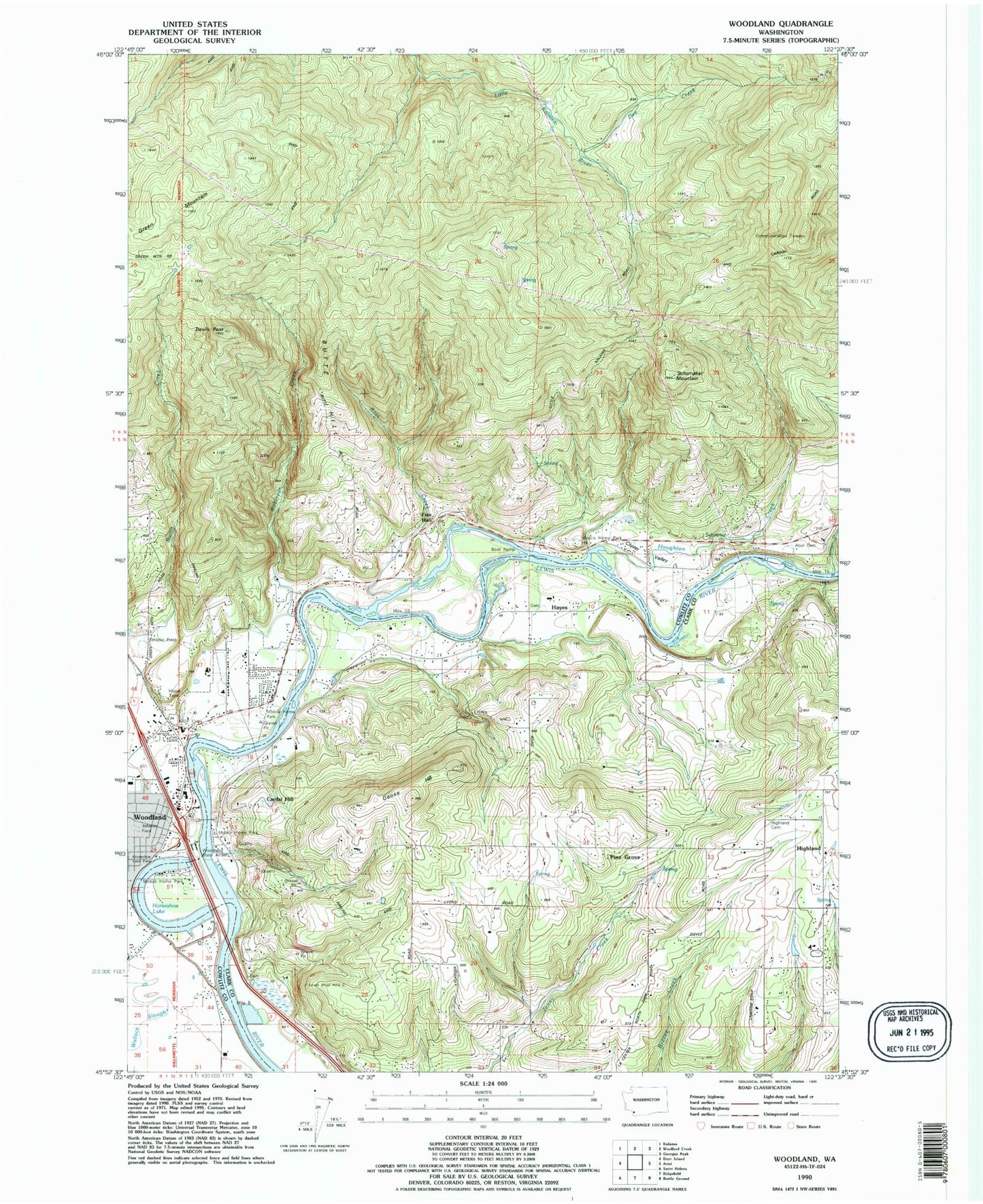
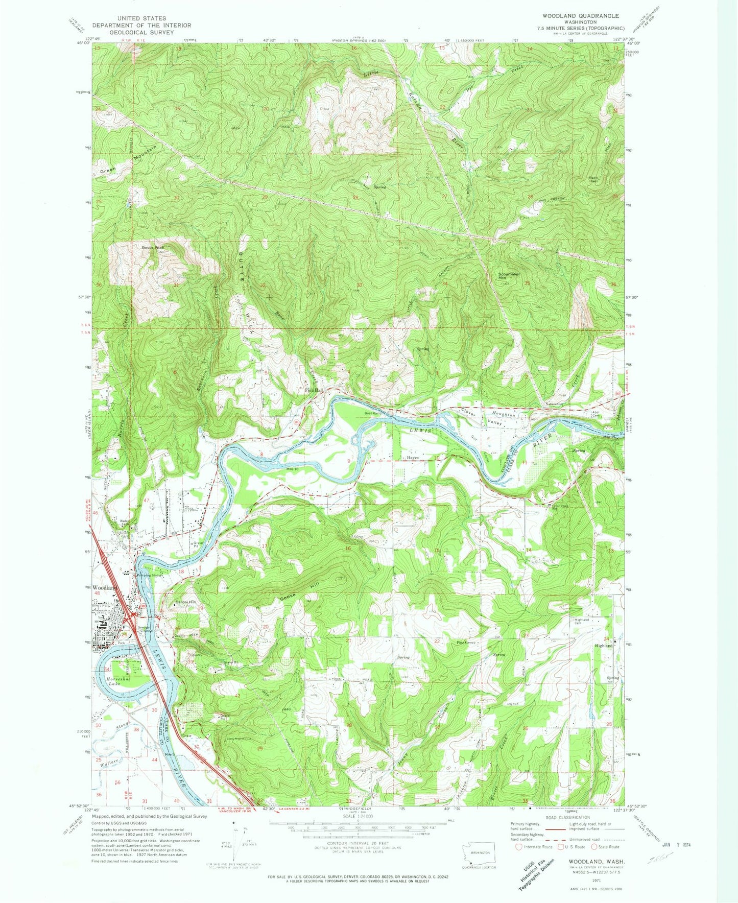
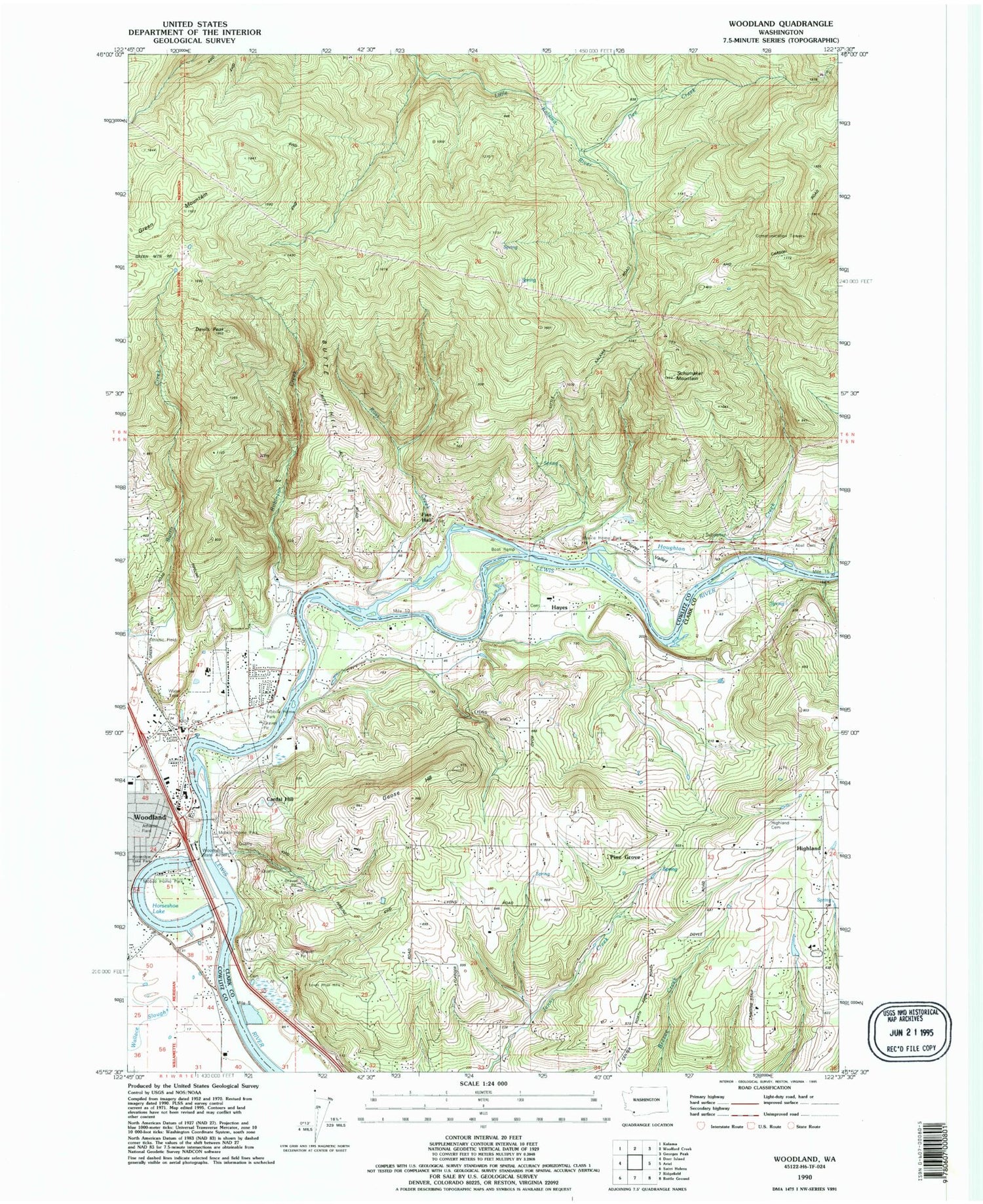
Classic USGS Woodland Washington 7.5'x7.5' Topo Map
Couldn't load pickup availability
Historical USGS topographic quad map of Woodland in the state of Washington. Typical map scale is 1:24,000, but may vary for certain years, if available. Print size: 24" x 27"
This quadrangle is in the following counties: Clark, Cowlitz.
The map contains contour lines, roads, rivers, towns, and lakes. Printed on high-quality waterproof paper with UV fade-resistant inks, and shipped rolled.
Contains the following named places: Butte Hill, Cardai Hill, Cedar Creek School, Clover Valley, Dee Creek, Devils Peak, Finn Hall, Goose Hill, Highland Cemetery, Horseshoe Lake, Houghton Creek, Johnson Creek, Robinson Creek, Ross Creek, Schumaker Mountain, Hayes, Pine Grove, Woodland, Reno, Ross Peak, Staples Creek, Woodland Middle School, Binford Reservoir Dam, Binford Reservoir, Woodland State Airport, Lewis River Golf Course Airport (historical), Hayes Creek, Clark County Fire Rescue Station 29, Clark County Fire District 12 Ridgefield/la Center Station 5, Clark County Fire and Rescue Station 28 Woodland Fire Department, Cowlitz County Fire Protection District 1, Cowlitz County Fire Protection District 1, Cowlitz County Fire Protection District 1 Station 3, Clark County Fire and Rescue Station 25 Woodland Fire Department, Woodland Police Department, Woodland Post Office, Cowlitz Cemetery