MyTopo
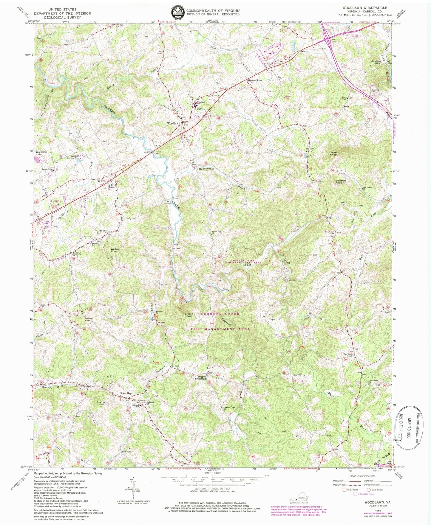
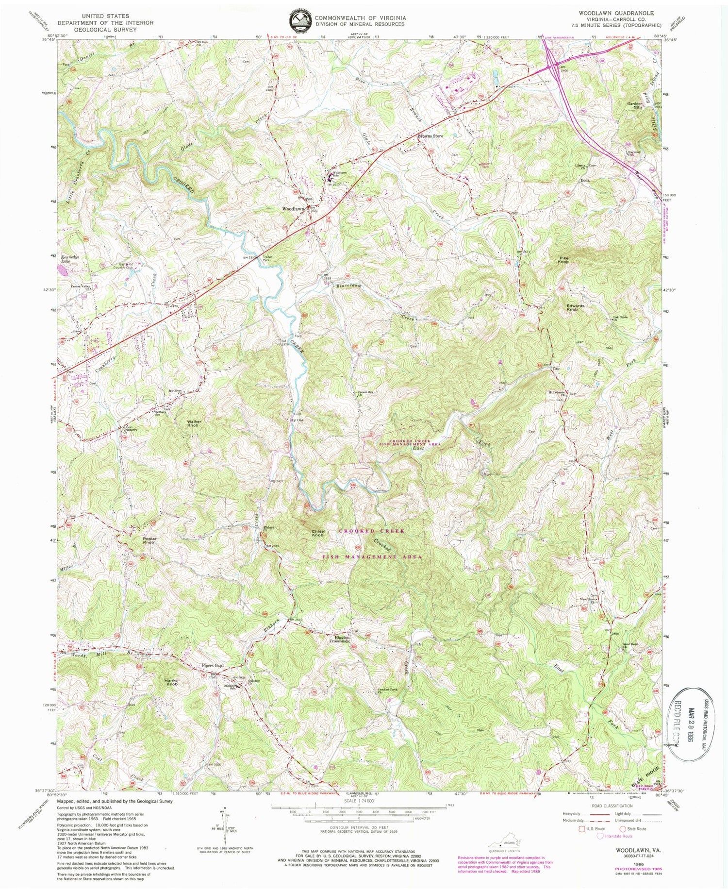
Classic USGS Woodlawn Virginia 7.5'x7.5' Topo Map
Couldn't load pickup availability
Historical USGS topographic quad map of Woodlawn in the state of Virginia. Map scale may vary for some years, but is generally around 1:24,000. Print size is approximately 24" x 27"
This quadrangle is in the following counties: Carroll.
The map contains contour lines, roads, rivers, towns, and lakes. Printed on high-quality waterproof paper with UV fade-resistant inks, and shipped rolled.
Contains the following named places: Beamer Cemetery, Beaverdam Creek, Bethany Cemetery, Bethany Church, Bethany School, Browns Store, Cap, Carter Cemetery, Center Valley Church, Chisel Knob, Cranberry Cemetery, Cranberry Church, Cranberry Creek, Cranberry School, Crooked Creek Cemetery, Crooked Creek Church, Crooked Creek Fish Management Area, Crooked Creek School, East Fork Crooked Creek, Edwards Cemetery, Edwards Knob, Elkhorn Church, Elkhorn Creek, Elkhorn School, Eona, Forest Oak Church, Forest Oak School, Gardner Cemetery, Gardner Mills, Gay Hills Country Club, Glade Creek, Good Hope Cemetery, Good Hope Church, Good Hope School, Hanks Knob, Harmony Church, Higgins Crossroads, High Point School, Jones Nursery, Kennedys Lake, Kyle School, Lebanon School, Liberty Cemetery, Liberty Church, Little Cranberry Creek, Mount Lebanon Church, Mount Olivet Cemetery, Mount Olivet Church, New Hope Cemetery, New Hope Church, New Life Christian Academy, New Mount Lebanon Cemetery, Oak Grove Church, Oakland Cemetery, Oakland Church, Oakland Elementary School, Old Burnett Cemetery, Old Mount Lebanon Cemetery, Pike Knob, Pine Branch, Piper Gap District, Pipers Gap, Pipers Gap Rescue Squad, Poplar Knob, Russell Dam, Thomas L Fells Memorial Bridge, Walker Cemetery, Walker Knob, West Fork Little Reed Island Creek, Williams Cemetery, Williams-Jenkins Cemetery, Woodlawn, Woodlawn Cemetery, Woodlawn Census Designated Place, Woodlawn Methodist Church, Woodlawn Post Office, Woodlawn School, ZIP Code: 24381


