MyTopo
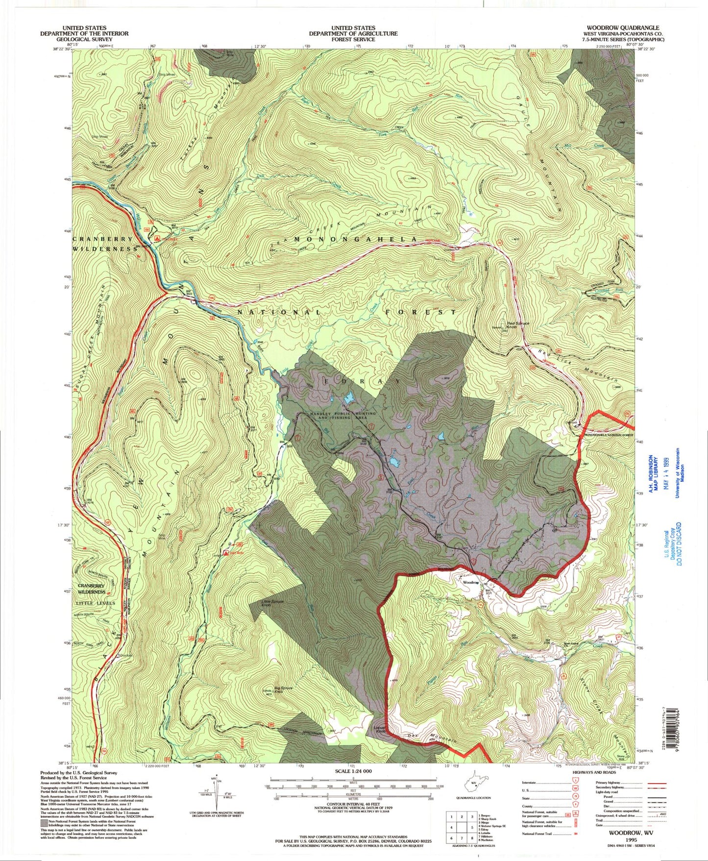
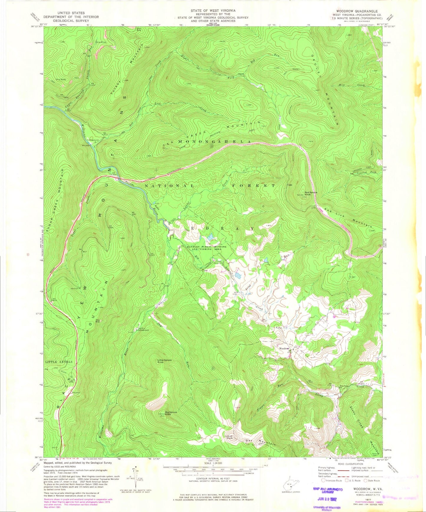
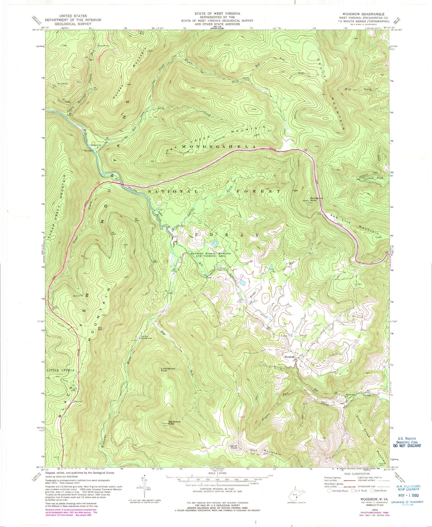
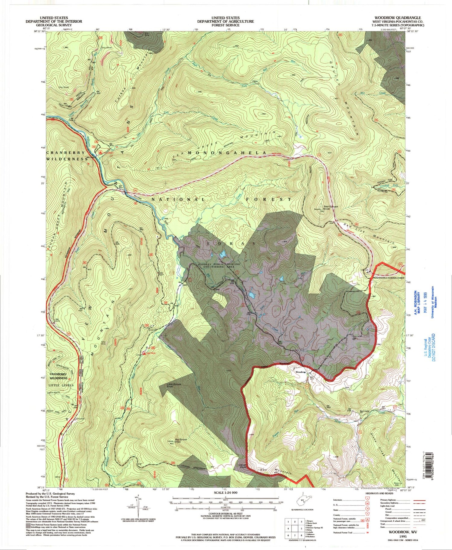
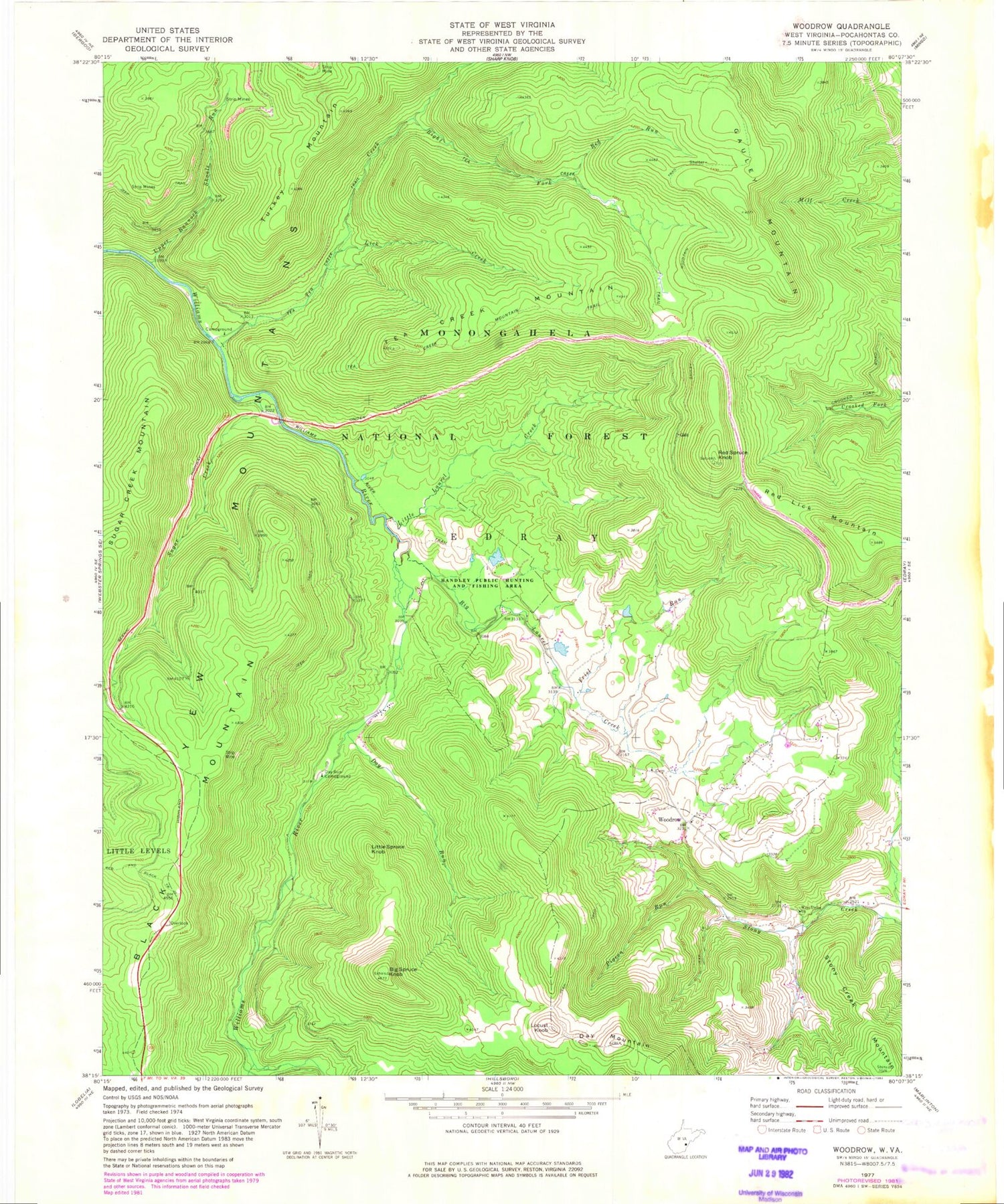
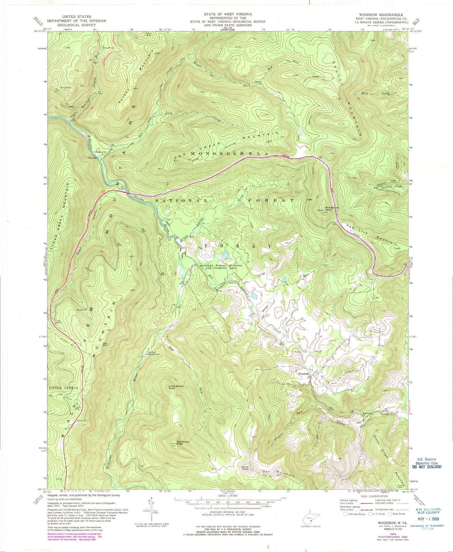
Classic USGS Woodrow West Virginia 7.5'x7.5' Topo Map
Couldn't load pickup availability
Historical USGS topographic quad map of Woodrow in the state of West Virginia. Typical map scale is 1:24,000, but may vary for certain years, if available. Print size: 24" x 27"
This quadrangle is in the following counties: Pocahontas.
The map contains contour lines, roads, rivers, towns, and lakes. Printed on high-quality waterproof paper with UV fade-resistant inks, and shipped rolled.
Contains the following named places: Big Laurel Creek, Big Spruce Knob, Black Mountain Run, Day Mountain, Day Run, Day Run Campground, Friel Run, Gauley Mountain Trail, Handley Wildlife Management Area, Lick Creek, Little Laurel Creek, Pigeon Run, Red Lick Mountain, Red Run, Right Fork Tea Creek, Stony Creek Mountain, Sugar Creek, Tea Creek, Tea Creek Mountain, Tea Creek Mountain Trail, Tea Creek Trail, Turkey Mountain, Upper Bannock Shoals Run, West Union Church, Williams River Trail, Woodrow, Tea Creek Campground, Red Lick Overlook Point of Interest, Little Spruce Knob, Locust Knob, Cockrane Spring, Stoney Creek Mountain Spring, Red Spruce Knob, West Union, West Union School (historical), White Church, Woodrow Church of the Nazarene, Woodrow School (historical), Dixie Elementary School, Big Laurel Creek, Big Spruce Knob, Black Mountain Run, Day Mountain, Day Run, Day Run Campground, Friel Run, Gauley Mountain Trail, Handley Wildlife Management Area, Lick Creek, Little Laurel Creek, Pigeon Run, Red Lick Mountain, Red Run, Right Fork Tea Creek, Stony Creek Mountain, Sugar Creek, Tea Creek, Tea Creek Mountain, Tea Creek Mountain Trail, Tea Creek Trail, Turkey Mountain, Upper Bannock Shoals Run, West Union Church, Williams River Trail, Woodrow, Tea Creek Campground, Red Lick Overlook Point of Interest, Little Spruce Knob, Locust Knob, Cockrane Spring, Stoney Creek Mountain Spring, Red Spruce Knob, West Union, West Union School (historical), White Church, Woodrow Church of the Nazarene, Woodrow School (historical), Dixie Elementary School
