MyTopo
Classic USGS Woods Canyon Arizona 7.5'x7.5' Topo Map
Couldn't load pickup availability
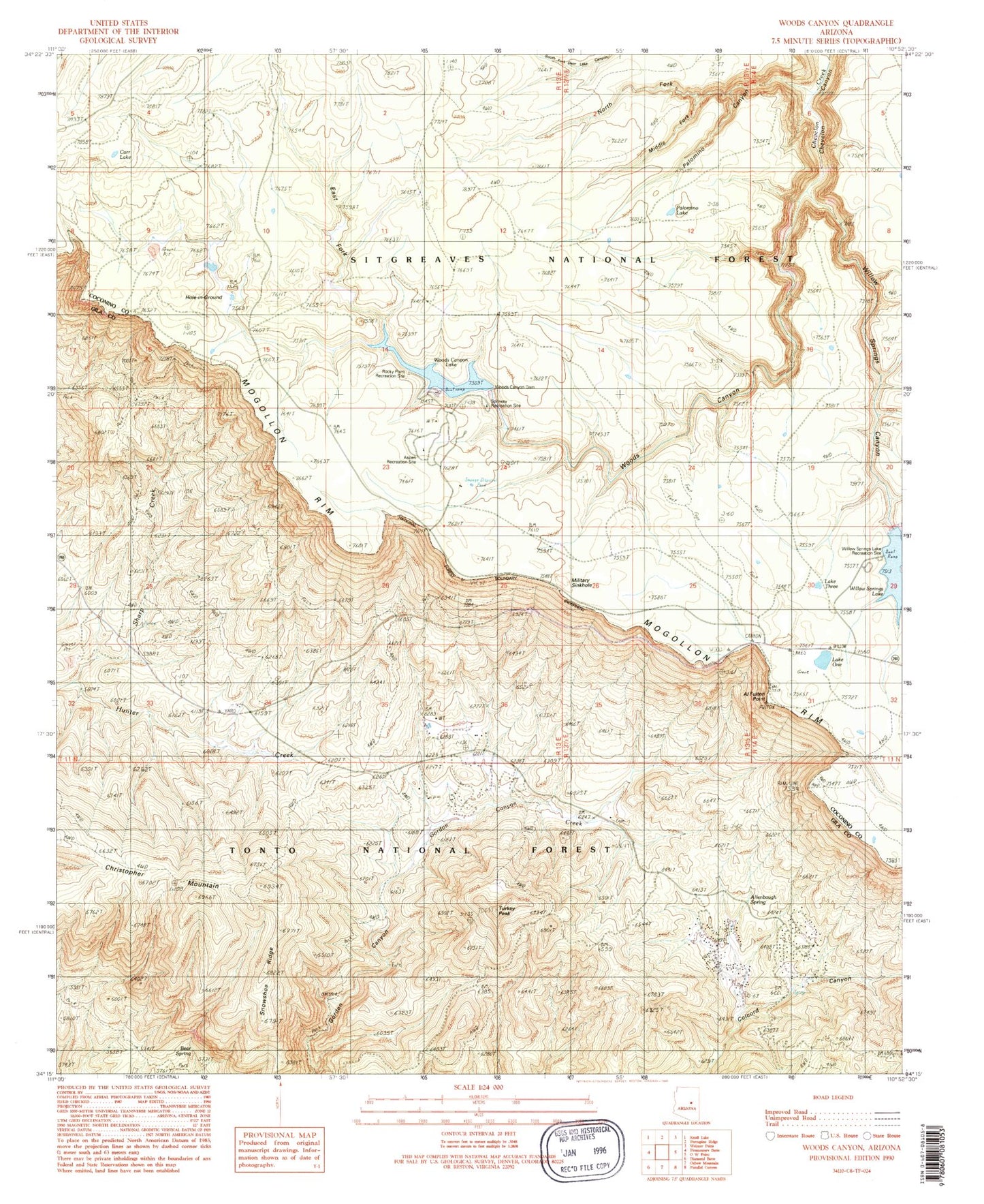
Historical USGS topographic quad map of Woods Canyon in the state of Arizona. Typical map scale is 1:24,000, but may vary for certain years, if available. Print size: 24" x 27"
This quadrangle is in the following counties: Coconino, Gila.
The map contains contour lines, roads, rivers, towns, and lakes. Printed on high-quality waterproof paper with UV fade-resistant inks, and shipped rolled.
Contains the following named places: Al Fulton Point, Allenbaugh Spring, Carr Lake, Christopher Mountain, East Fork Woods Canyon, Gordon Canyon Ranch, Hole-in-Ground, Middle Fork Palomino Canyon, Military Sinkhole, North Fork Palomino Canyon, Lake One, Palomino Canyon, Palomino Lake, Sharp Creek, Snowshoe Ridge, Lake Three, Turkey Peak, Willow Springs Canyon, Woods Canyon, Woods Canyon Lake, Woods Canyon Lake Recreation Area, Aspen Recreation Area, Rocky Point Recreation Area, Willow Spring Lake Recreation Site, Willow Springs Dam, Willow Springs Lake, Woods Canyon Creek, Woods Canyon Dam, Bear Spring, Colcord Mountain Estates, North Fork Chevelon Canyon (historical), Aspen Recreation Site, R Bar C Number Three, Sharp Campground, Thirteen Ranch, Sleepy Hollow, Drew Canyon Trailhead, Carr Lake Trailhead, Woods Trailhead, Spillway Campground, Mogollon Campground, Wood Pond Campground, Woods Canyon Vista, Crook Campground, Two Sixty Trailhead, Rim Lakes Vista, Military Sinkhole Trailhead, Rim Recreation Site, Rim Lakes Vista Trail, Mogollon Rim Visitor Center, Sinkhole Campground, Woods Canyon Lake Boat Launch, Willow Springs Boat Launch, Aspen Campground, Rim Campground, Christopher Kohl's Fire Department Ponderosa Estates Station 53, Fisherman Trail


