MyTopo
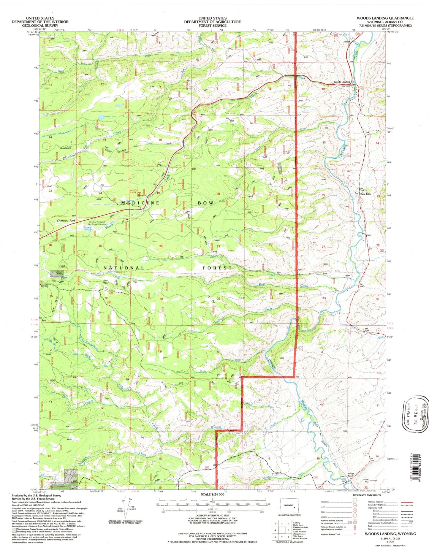
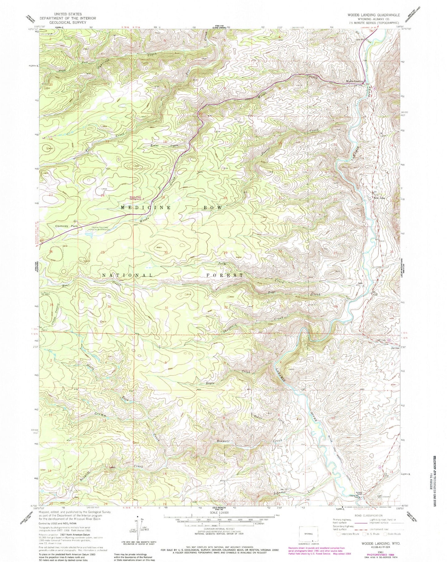
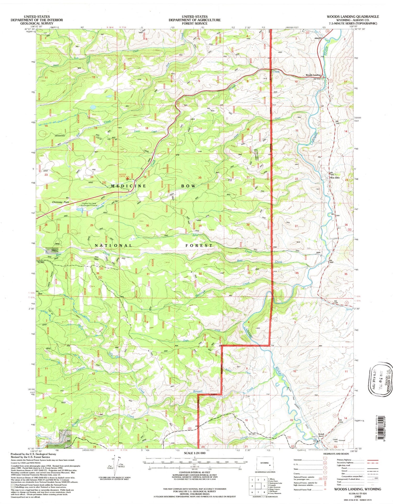
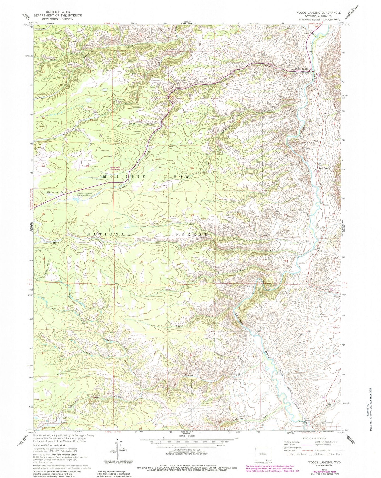
Classic USGS Woods Landing Wyoming 7.5'x7.5' Topo Map
Couldn't load pickup availability
Historical USGS topographic quad map of Woods Landing in the states of Wyoming, Colorado. Typical map scale is 1:24,000, but may vary for certain years, if available. Print size: 24" x 27"
This quadrangle is in the following counties: Albany.
The map contains contour lines, roads, rivers, towns, and lakes. Printed on high-quality waterproof paper with UV fade-resistant inks, and shipped rolled.
Contains the following named places: Boswell Creek, Pollock Draw, Bear Creek, Beaver Creek, Boswell Ranch, Chimney Park, Chimney Park Camp, Eagle Creek, Fox Creek, Gramm Creek, Jelm Creek, Jelm P O, New Jelm, North Fork Gramm Creek, North Fork Squirrel Creek, Porter Creek, Shellrock Creek, Squirrel Creek, Sunrise Spring Creek, Woods Creek, Woods Landing, Bosewll Creek Campground, Jelm, Annie Mine, Jelm Mountain Area Mine, Sugarloaf, Woods Landing-Jelm Census Designated Place, Johnson Creek, Bliler and Boswell Ditch


