MyTopo
Classic USGS Woodson Canyon New Mexico 7.5'x7.5' Topo Map
Couldn't load pickup availability
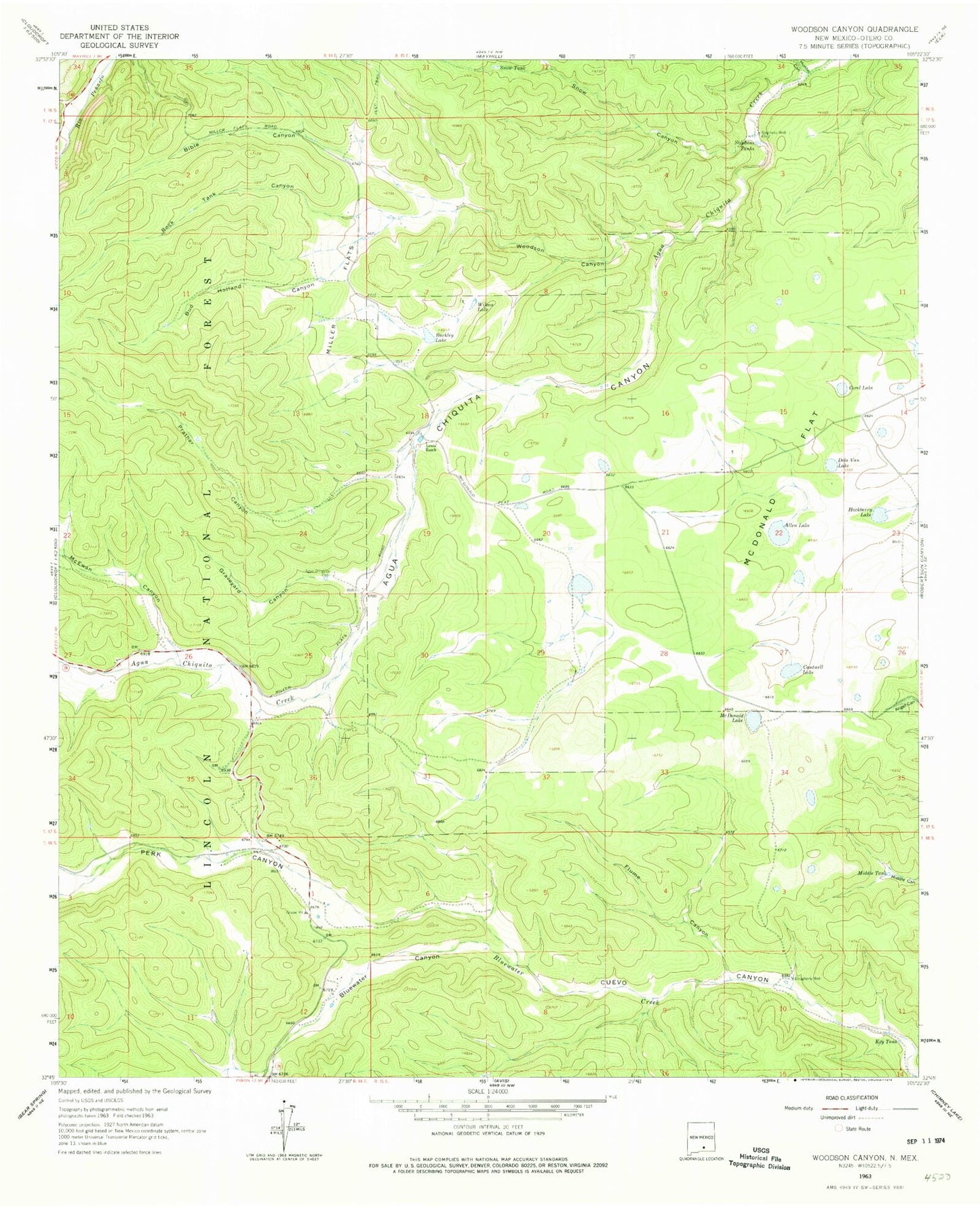
Historical USGS topographic quad map of Woodson Canyon in the state of New Mexico. Map scale may vary for some years, but is generally around 1:24,000. Print size is approximately 24" x 27"
This quadrangle is in the following counties: Otero.
The map contains contour lines, roads, rivers, towns, and lakes. Printed on high-quality waterproof paper with UV fade-resistant inks, and shipped rolled.
Contains the following named places: Allen Lake, Barkley Lake, Bell Tank, Bible Canyon, Bluewater Canyon, Bud Holland Canyon, Cantwell Lake, CCC Tank, Covel Lake, Dela Van Lake, Dougherty Well, Ernest Well, Flume Canyon, Graveyard Canyon, Graveyard Tank, Hackberry Lake, Hunter Canyon, Key Tank, Lewis Ranch, Little Tank, Lower Snow Tank, Lusk Cemetery, McDonald Flat, McDonald Lake, McEwan Canyon, Middle Tank, Miller Flats, Miller Well, Perk Canyon, Prather Canyon, Prather Tank, Railsplitter Tank Number Two, Reilsplitter Tank Number Three, Rock Draw Tank, Rock Tank Canyon, Schoolhouse Tank, Section 24 Tank, Section Eleven Tank, Snow Canyon, Snow Tank, Stephens Tanks, Stephens Well, Wilson Lake, Woodson Canyon, ZIP Code: 88354