MyTopo
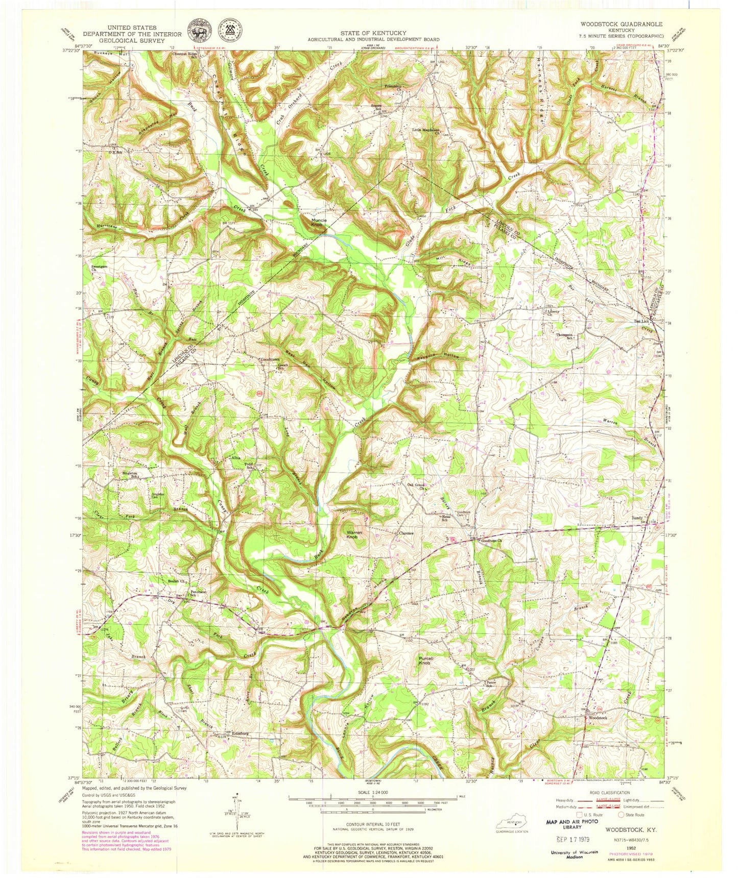
Classic USGS Woodstock Kentucky 7.5'x7.5' Topo Map
Couldn't load pickup availability
Historical USGS topographic quad map of Woodstock in the state of Kentucky. Map scale may vary for some years, but is generally around 1:24,000. Print size is approximately 24" x 27"
This quadrangle is in the following counties: Lincoln, Pulaski, Rockcastle.
The map contains contour lines, roads, rivers, towns, and lakes. Printed on high-quality waterproof paper with UV fade-resistant inks, and shipped rolled.
Contains the following named places: Albia, Bandy, Bear Den Hollow, Bee Lick, Beelick Post Office, Beulah Church, Black Branch, Briary Creek, Buckeye Branch, Buckeye Hollow, Bullock Branch, Butt Branch, Caney Creek, Chestnut Ridge, Chestnut Ridge School, Clarence, Clear Creek, Clear Fork Branch, Cowpen Branch, Crab Orchard Creek, Dry Fork, Estes Branch, Estes School, Estesburg, Eubank Division, Friendship Cemetery, Friendship Church, Gilmore Creek, Glade Fork Creek, Gooch Hollow, Gooch School, Goochtown, Goodhope Cemetery, Goodhope Church, Grapevine Hollow, Griffin Cemetery, Harness Branch, Harness Ridge, Hart Branch, Hurricane Creek, Jacks Branch Caney Creek, Jake Branch, Liberty Church, Liberty Church Cemetery, Little Magdalene Church, Long Branch, Lonnie Hollow, Mill Ridge, Muncie Knob, O K Post Office, Oak Grove Church, OK School, Olive Baptist Church, Osborne Hollow, Pence School, Penobscot School, Purcell Knob, Reynold Hollow, Short Airport, Short Branch, Singleton Cemetery, Singleton School, Snyders, Sopers, Sopers School, Spring Branch, Sweetgum Church, The Glades, Thompson School, Todd School, Warren Knob, Whetstone Creek, White Oak, Wolf Branch, Woodstock, Woodstock Fire Department, ZIP Code: 42567


