MyTopo
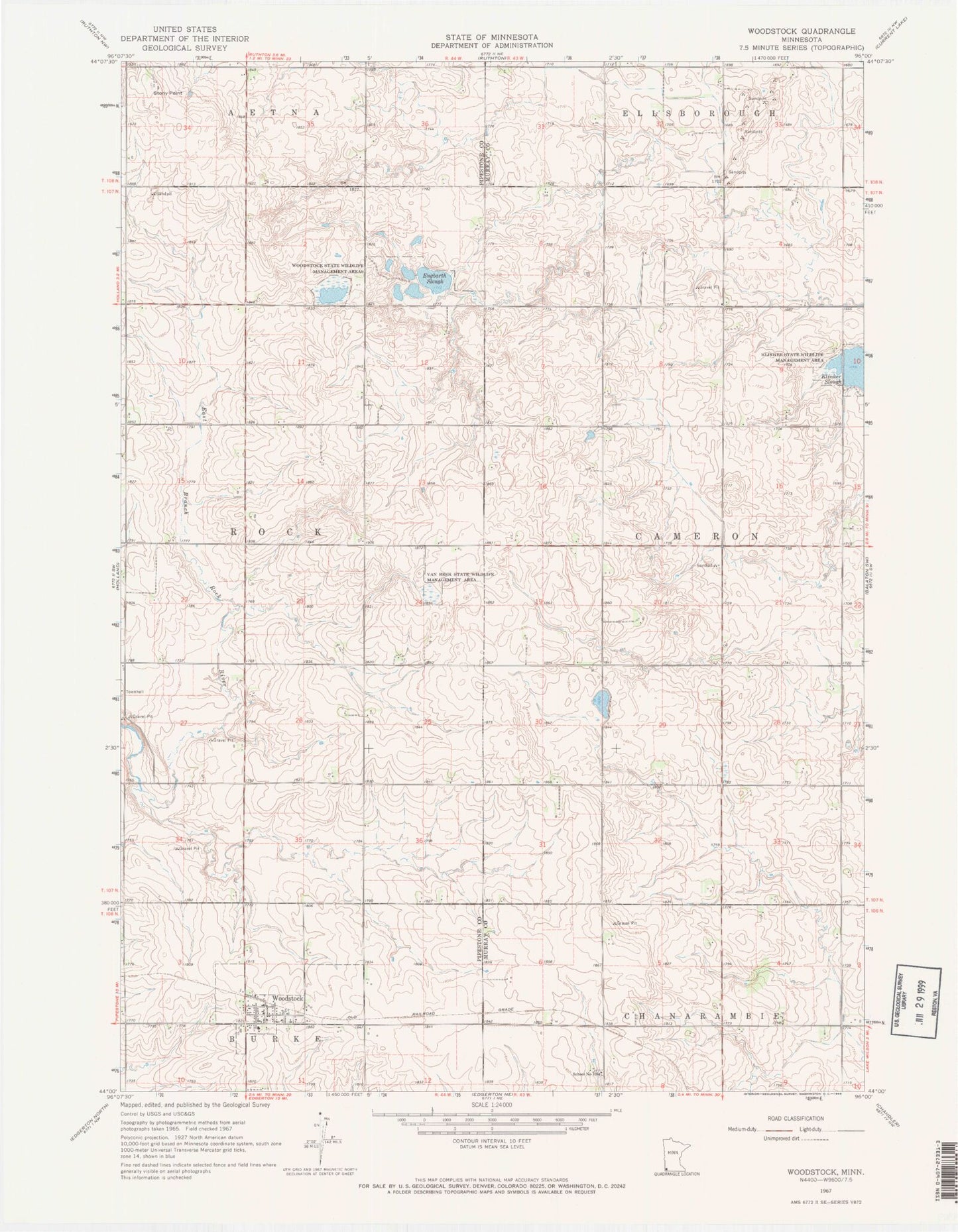
Classic USGS Woodstock Minnesota 7.5'x7.5' Topo Map
Couldn't load pickup availability
Historical USGS topographic quad map of Woodstock in the state of Minnesota. Map scale may vary for some years, but is generally around 1:24,000. Print size is approximately 24" x 27"
This quadrangle is in the following counties: Murray, Pipestone.
The map contains contour lines, roads, rivers, towns, and lakes. Printed on high-quality waterproof paper with UV fade-resistant inks, and shipped rolled.
Contains the following named places: American Reformed Church, Church of God the Father, City of Woodstock, Engbarth Slough, Gleis Farms, Klinker Slough, New Life Treatment Center, Saint Martin Catholic Church, School Number 1264, Stony Point, Township of Cameron, Township of Rock, Van Beek State Wildlife Management Area, Woodstock, Woodstock Fire Department, Woodstock Post Office, Woodstock State Wildlife Management Area, ZIP Code: 56186