MyTopo
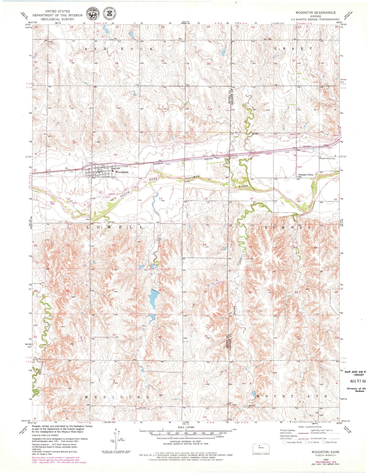
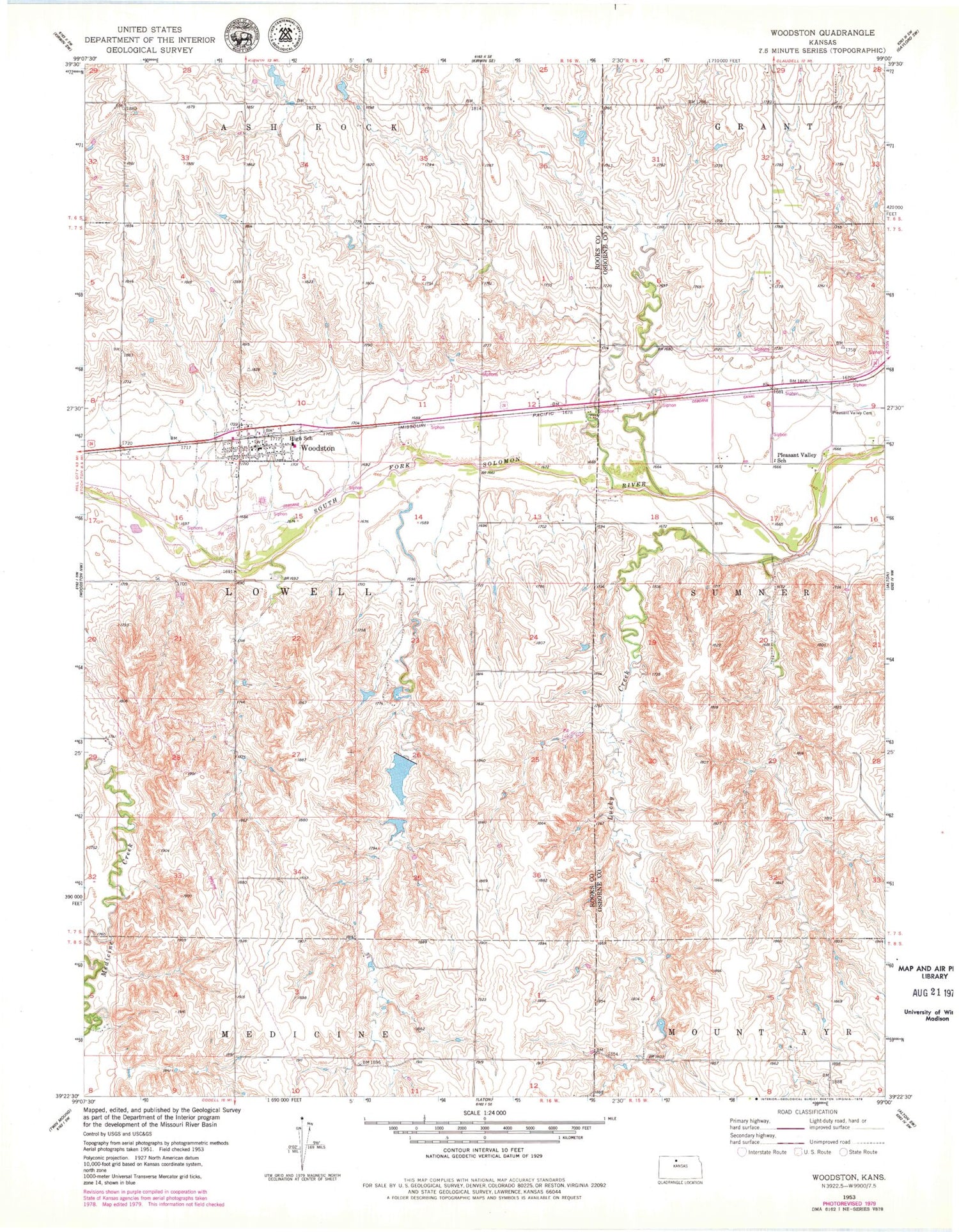
Classic USGS Woodston Kansas 7.5'x7.5' Topo Map
Couldn't load pickup availability
Historical USGS topographic quad map of Woodston in the state of Kansas. Map scale may vary for some years, but is generally around 1:24,000. Print size is approximately 24" x 27"
This quadrangle is in the following counties: Osborne, Rooks.
The map contains contour lines, roads, rivers, towns, and lakes. Printed on high-quality waterproof paper with UV fade-resistant inks, and shipped rolled.
Contains the following named places: City of Woodston, Farmers Union Mercantile and Shipping Association Grain Elevator Number 2, High Hill, Lucky Creek, Pleasant Valley Cemetery, Pleasant Valley School, Township 1, Woodston, Woodston Fire Department, Woodston Post Office, Woodston United Methodist Church, Woodston Wastewater Treatment Facility, ZIP Code: 67675